
Hi-Target
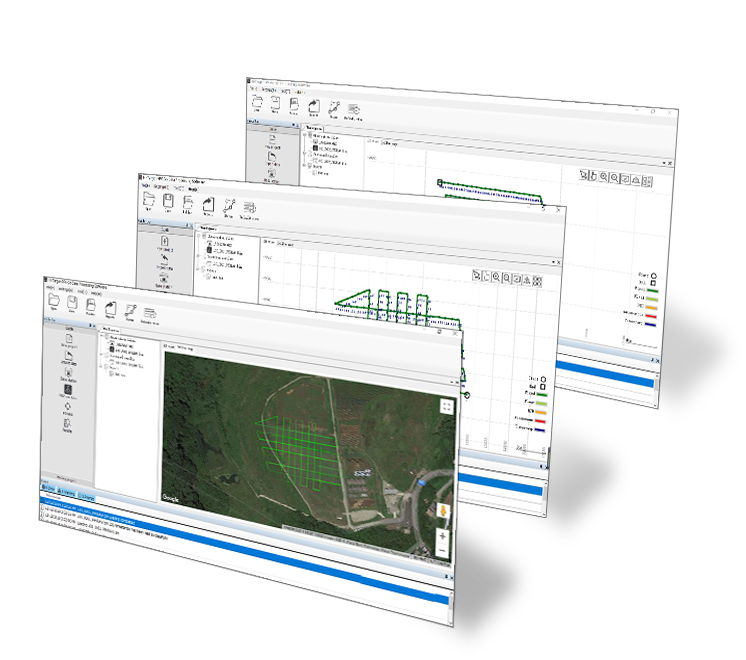
PPK Go Software for Phantom 4 RTK
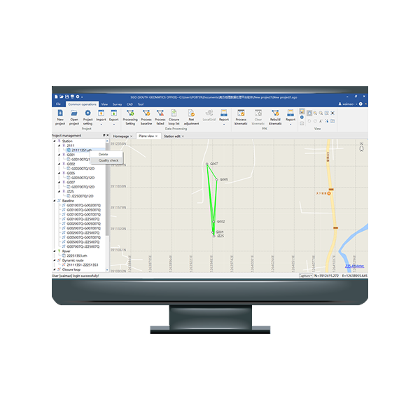
Hi-Target PPK GO Precision Add-on Hi-Target PPK GO Precision Add-on enables Phantom 4 RTK…
Authorized distributor of original survey instruments·Dispatch in 3 to 7 working days·DDP / CIF / FOB
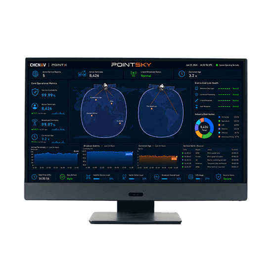
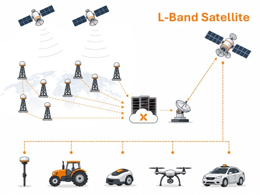

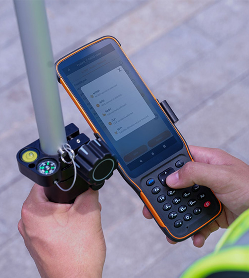




PointSky is CHC Navigation L-Band satellite-based GNSS correction service for high-accuracy real-time positioning without a local base station or cellular network connection. Designed for remote, offshore, agricultural, surveying, and network-limited environments, PointSky uses PPP-based correction technology to model and correct key GNSS error sources, including…
Original CHCNAV unit·Authorized distributor
PointSky is CHC Navigation L-Band satellite-based GNSS correction service for high-accuracy real-time positioning without a local base station or cellular network connection. Designed for remote, offshore, agricultural, surveying, and network-limited environments, PointSky uses PPP-based correction technology to model and correct key GNSS error sources, including satellite orbit, clock, hardware bias, and atmospheric delays. Corrections are broadcast via geostationary satellites to help compatible CHCNAV receivers maintain reliable centimeter-level positioning in supported service regions.
Values from the CHCNAV datasheet. Ask us for the full sheet or a side by side with another model.
Download datasheet (PDF)Free PDFs for the PointSky. Need a manual in another language? Ask us and we will send it.
Hi-Target PPK GO Precision Add-on Hi-Target PPK GO Precision Add-on enables Phantom 4 RTK…
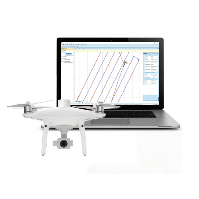
SkyLines is engineered to deal with the flight lines and compute precise aerial positional…
Tell us how many units and where they ship. An engineer replies with price, lead time and freight within 24 hours.
Reply within 24 h · Original units · Local datum preset