
UniStrong
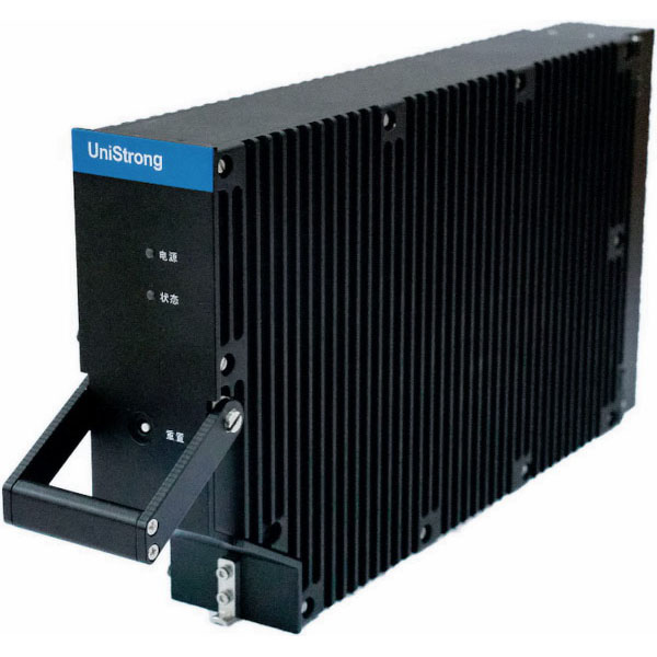
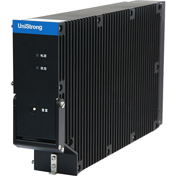
AIR20 BeiDou SBAS Aviation Receiver
Independently developed by UniStrong for aviation satellite navigation applications, the AIR20 is a multi-frequency multi-constellation aviation GNSS receiver that supports BeiDou-3 signal tracking and processing, as well as BDSBAS single-frequency and dual-frequency multi-constellation services. Featuring single-point positioning and SBAS positioning modes, the receiver delivers single-frequency…
- 2.785 kg
- Weight
- < 300 s
- Cold Start Time
- < 5 W
- Power Consumption
Original UniStrong unit·Authorized distributor
Overview
About the AIR20
Specifications
The AIR20 is an aviation-grade multi-frequency, multi-constellation GNSS receiver independently designed by UniStrong for aeronautical satellite navigation applications. It supports BeiDou-3 signal reception and processing, as well as BDSBAS single-frequency and dual-frequency multi-constellation (DFMC) services. Featuring single-point positioning and SBAS positioning modes, the receiver enables single-frequency and dual-frequency multi-constellation positioning solutions. It supports Receiver Autonomous Integrity Monitoring (RAIM) and can simultaneously output position and protection level data.
Designed and developed in accordance with relevant aviation standards, its enclosure meets the environmental operating requirements of civil aviation equipment. Built on a Linux development platform, the AIR20 integrates a high-performance BeiDou-3 OEM board and large-capacity local storage to satisfy the requirements of BDSBAS monitoring and evaluation, testing and verification, and demonstration applications.
Product Features
● Supports BDSBAS single-frequency and dual-frequency multi-constellation services; ● Supports reception and processing of all signals across GPS, GLONASS, BDS, Galileo, and SBAS; ● Supports Receiver Autonomous Integrity Monitoring (RAIM); ● Designed in accordance with relevant civil aviation standards to meet airborne operating requirements; ● High-performance system configuration supporting long-term data storage and management.
Specifications
Technical data
Values from the UniStrong datasheet. Ask us for the full sheet or a side by side with another model.
GNSS Specifications
- Signals Tracked
- GPS: L1CA, L5, L1P, L1C, L2P, L2C BDS: B1I, B1C, B2a, B2I, B3I GLONASS: G1, G2 Galileo: E1, E5a, E5b, E6 SBAS: L1CA, L5, supports BDSBAS-B1C, BDSBAS-B2a
- SBAS Tracking Channels
- 5 parallel tracking channels
- Single Point Positioning Accuracy (95%)
- Horizontal ≤ 3 m, Vertical ≤ 5 m
- SBAS Positioning Accuracy (95%)
- Single-frequency SBAS: Horizontal ≤ 2.5 m, Vertical ≤ 4 m; Dual-frequency multi-constellation SBAS: Horizontal ≤ 2 m, Vertical ≤ 3 m
- Receiver Autonomous Integrity Monitoring (RAIM)
- Supports single-frequency single-constellation RAIM
- Cold Start Time
- < 300 s
- Dynamics
- Velocity ≥ 412 m/s, Acceleration ≥ 2.5 g
- Data Update Rate
- 10 Hz standard, 1 Hz/5 Hz/20 Hz/50 Hz optional
Interfaces
- Communication Interfaces
- Serial port: 1x RS422; Ethernet port: 1x Gigabit Ethernet
- Data I/O Protocols
- NMEA 0183, proprietary SLX binary
Environmental Specifications
- Temperature
- Complies with RTCA DO-160 Category A2 requirements, operating temperature: -15°C to +70°C
- Shock and Vibration
- Complies with RTCA DO-160 Category S(M) requirements
Power Specifications
- Input Voltage
- 9 - 36 V DC wide-range input
- Power Consumption
- < 5 W
Physical Specifications
- Dimensions
- 2 MCU, 368 L x 60.5 W x 193 H mm
- Weight
- 2.785 kg
- LED Indicators
- Power LED; Status LEDs: GNSS signal lock, single point positioning, SBAS positioning
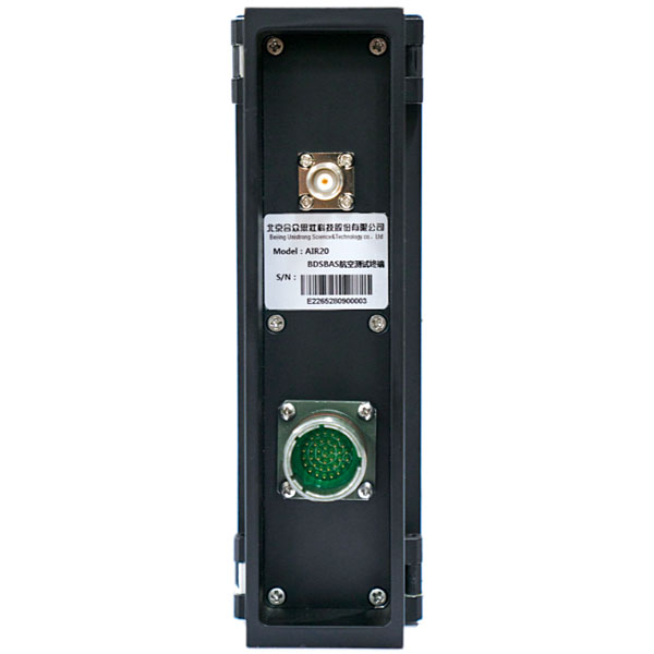
- Antenna Connector
- TNC female
Related
All UAV and mobile mappingView all
Similar UAV and mobile mapping

Get a quote
Get a quote for AIR20
Tell us how many units and where they ship. An engineer replies with price, lead time and freight within 24 hours.
- Reply within 24 hours
- Original units with serial numbers
- Local coordinate system preset
Reply within 24 h · Original units · Local datum preset