
UniStrong
DSM / DEM Digital Surface Model and Digital Elevation Model
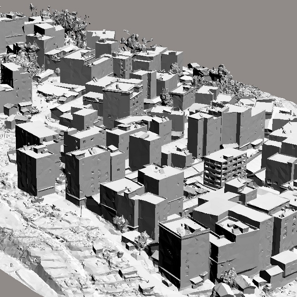
A Digital Elevation Model (DEM) is a dataset of regular grid points with plane coordinates (X, Y) and elevations (Z) on a Gauss projection plane. This dataset mathematically describes the spatial distribution of terrain topography across a given area.
Original UniStrong unit·Authorized distributor
Overview
About the DSM
A Digital Elevation Model (DEM) is a dataset of regular grid points with plane coordinates (X, Y) and elevations (Z) on a Gauss projection plane. This dataset mathematically describes the spatial distribution of terrain topography across a given area. The horizontal grid spacing of the DEM can vary based on terrain types. According to elevation accuracy, it can be categorized into products of various scales, including 1:500, 1:1,000, and 1:2,000.
Specifications
A Digital Elevation Model (DEM) is a dataset of planar coordinates (X, Y) and elevations (Z) of regular grid points on a Gauss projection plane. It mathematically describes the spatial distribution of terrain topography across a specific area. The horizontal grid spacing of a DEM can vary according to terrain types. Based on elevation accuracy, DEM products can be categorized into various scales such as 1:500, 1:1,000, and 1:2,000.
Data acquisition methods typically include ground surveying (field measurements using electronic distance-measuring theodolites with automatic data logging), digitization of existing maps, spaceborne/airborne sensors (GPS combined with radar and laser altimeters, etc.), digital photogrammetry (manual, semi-automated, or fully automated measurements using stereoplotters or stereocomparators with automatic recording devices, analytical plotters, and digital photogrammetric systems), and LiDAR + CCD camera systems. Using computer algorithms, DEM data can be easily converted into contours, perspective views, cross-sections/profiles, slope maps, thematic maps, and other derivative products. It also allows calculation of engineering and statistical data—such as volume, spatial distance, and surface area—as well as line-of-sight/viewshed analysis and automatic segmentation of terrain and regional features. It is widely used across water resources, land and resources, forestry, mining, housing, and urban-rural development sectors.
Product Features:
● Versatile Display of Terrain Information: Processed terrain data can generate topographic maps, longitudinal and cross-sectional profiles, and 3D stereoscopic views across multiple scales. ● Lossless Accuracy: Stored in a digital medium, DEM maintains consistent precision over time without degradation. ● Streamlined Automation and Real-Time Processing: Being in digital format, updating or modifying terrain data only requires entering revisions directly into the computer, where software processing can generate real-time topographic maps. ● Multi-Scale Capability: For example, a 1 m resolution DEM inherently covers the content of lower-resolution DEMs, such as 2 m and 5 m.
Specifications
Technical data
Values from the UniStrong datasheet. Ask us for the full sheet or a side by side with another model.
Digital Surface Model (DSM) / Digital Elevation Model (DEM)
- Scale
- Available in 1:500, 1:1000, and 1:2000 scales
- Resolution (Grid Spacing)
- Available with 0.1–10 m grid spacing
- Spatial Accuracy
- Surface elevation data achievable with up to 0.1 m elevation accuracy
- Data Formats
- TIF, GRD, ASC, BIL, HDR, TIN, BLW, DEM
Related
All UAV and mobile mappingView all
Similar UAV and mobile mapping
UniStrong
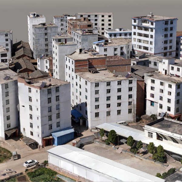
OSGB Oblique Photogrammetry 3D Real-Scene Model
The 3D real-scene model is generated by capturing multi-directional real-scene photos of the target,…
UniStrong
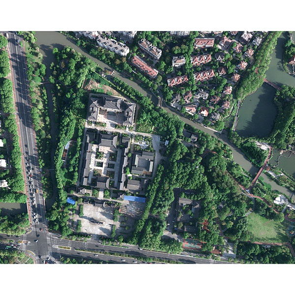
Surveying and Mapping Aerial Photography Services
Jiangsu Jinwei Remote Sensing Data Engineering Co., Ltd. is a professional company engaged in…
- Ground Resolution
- 2-50 cm
- Ground Resolution
- 2-10 cm
- Point Density
- 0.25-100 points/m²
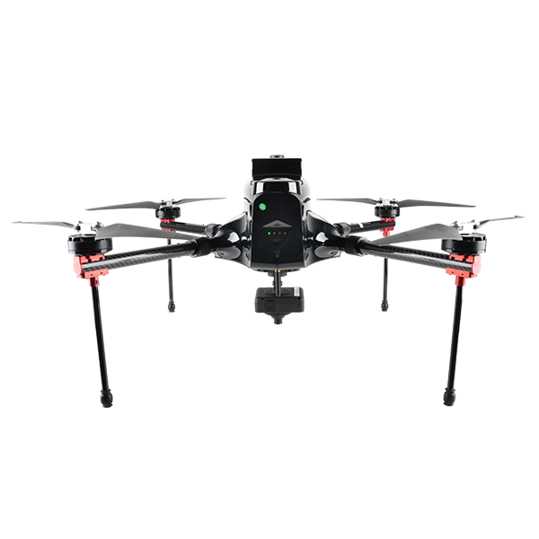
- Max. Service Ceiling
- 4000 m ASL
- Working Height
- typical 60-1000 m
- Cruising Speed
- max. 12 m/s
Get a quote
Get a quote for DSM
Tell us how many units and where they ship. An engineer replies with price, lead time and freight within 24 hours.
- Reply within 24 hours
- Original units with serial numbers
- Local coordinate system preset
Reply within 24 h · Original units · Local datum preset