
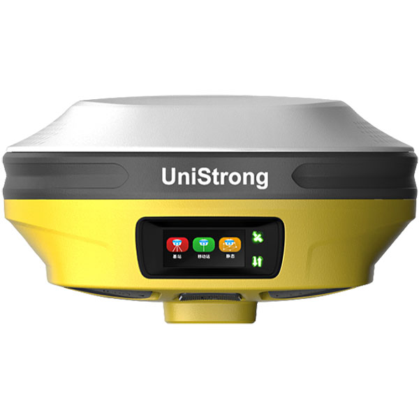

UniStrong
eSurvey 4.0 GNSS Surveying Software
The Android version of eSurvey 4.0 software is a GNSS surveying software developed by Beijing UniStrong Science & Technology Co., Ltd. Built upon years of accumulated market experience, it combines surveying data collection capabilities with integrated RTK control data acquisition, road design and stakeout, and…
Original UniStrong unit·Authorized distributor
Overview
About the eSurvey 4.0
The Android version of eSurvey 4.0 software is a GNSS surveying software developed by Beijing UniStrong Science & Technology Co., Ltd. Built upon years of accumulated market experience, it combines surveying data collection capabilities with integrated RTK control data acquisition, road design and stakeout, and other functions. The software features user-friendly operational workflows, superior graphical interaction, and powerful functionality.
Software Overview
: The Android version of eSurvey 4.0 is a GNSS surveying and mapping software developed by Beijing UniStrong Science & Technology Co., Ltd. Built upon years of accumulated market experience, it integrates surveying data collection capabilities with RTK control collection, road design stakeout, and other advanced features. The software offers user-friendly workflows, enhanced graphical interaction, and powerful functionality.
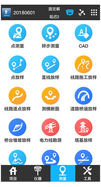
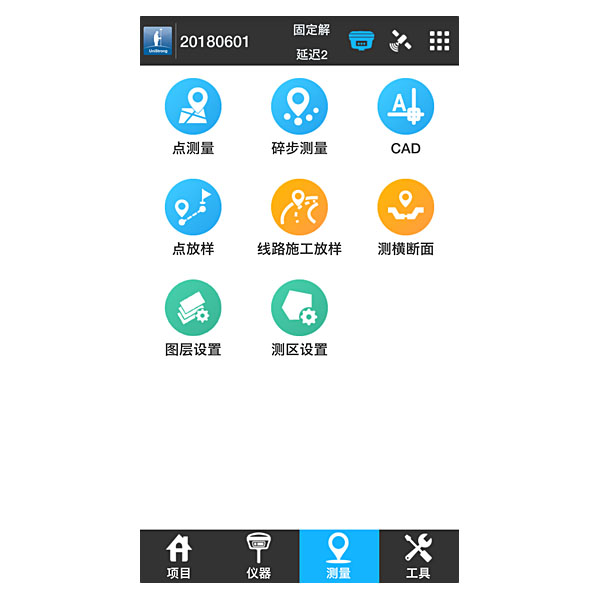
The main menu of eSurvey 4.0 consists of four options: [Project], [Device], [Survey], and [Tools]:
[Project] is primarily used for managing engineering projects. Key menus include Project Management, Data File Management, Coordinate System, and Station Calibration. After creating a new project file in Project Management, coordinate parameters can be configured in Coordinate System, and points collected during surveying can be viewed in the Point Library.
[Device] is mainly used after connecting to the receiver to configure the working mode and view device information. Key menus include Communication Settings, Rover Mode, Base Station Mode, Static Mode, etc. Once the instrument is successfully connected via Bluetooth or Wi-Fi in Communication Settings, and the base station, rover, or static operating mode is selected, the instrument's operational information and data link status can be viewed in Work Status. If instrument calibration is required, tilt survey can be enabled in Device Settings, allowing calibrations for the electronic bubble, magnetic declination, and other parameters within the tilt survey menu.
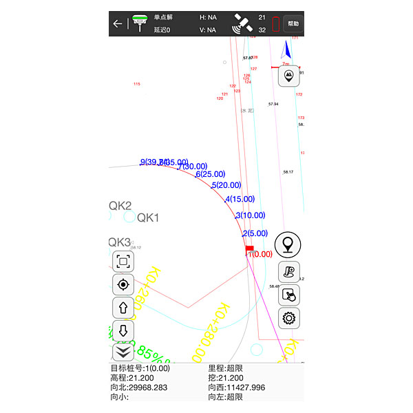
[Survey] features menus such as Point Survey, Detail Survey, CAD, Point Stakeout, Line Stakeout, Road Stakeout, and Power Line Survey, comprehensively covering the diverse functions required for engineering surveying.
[Tools] includes various calculation utilities and external UHF radio settings. Key functions include Parameter Calculation, Coordinate Transformation, Angle Conversion, Perimeter & Area Calculation, Geometry Calculation, Calculator, External Radio Settings, Earthwork Calculation, and Station Refresh.
Related
All GNSS RTK receiversView all
Similar GNSS RTK receivers
Get a quote
Get a quote for eSurvey 4.0
Tell us how many units and where they ship. An engineer replies with price, lead time and freight within 24 hours.
- Reply within 24 hours
- Original units with serial numbers
- Local coordinate system preset
Reply within 24 h · Original units · Local datum preset