
UniStrong
MIS30 Cost-Effective All-in-One GNSS Monitoring Receiver
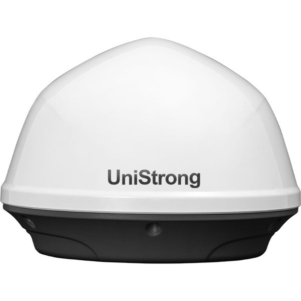
The MIS30 is a dedicated, cost-effective GNSS monitoring receiver deeply developed for geological slope monitoring scenarios. It integrates multi-parameter measurements (3D displacement, tilt angle, and acceleration) featuring low cost, low power consumption, high integration, and edge computing.
Original UniStrong unit·Authorized distributor
Overview
About the MIS30
The MIS30 is a dedicated, cost-effective GNSS monitoring receiver deeply developed for geological slope monitoring scenarios. It integrates multi-parameter measurements (3D displacement, tilt angle, and acceleration) featuring low cost, low power consumption, high integration, and edge computing. With power consumption below 1.5 W, it can automatically adjust monitoring modes based on deformation trends to meet the requirements for monitoring frequency and accuracy across different deformation stages. It is widely applicable to geological disaster monitoring, mine monitoring, reservoir high-slope monitoring, highway slope monitoring, and dilapidated building monitoring.
Specifications
The MIS30 is a cost-effective, low-power, highly integrated universal GNSS monitoring receiver with edge computing, specifically developed for geological slope monitoring scenarios. Integrating multiple measurements (3D displacement, tilt, and acceleration), it operates at less than 1.5 W and automatically adjusts monitoring modes according to deformation trends to meet varying frequency and precision requirements across different stages of deformation. It is widely applicable to geological disaster monitoring, mine monitoring, reservoir high-slope monitoring, highway slope monitoring, dilapidated building monitoring, and other fields.
● Multi-Parameter Acquisition: Collects and transmits high-precision surface displacement, acceleration, and tilt observation data;
● Adaptive Monitoring: Variable-frequency monitoring that automatically adjusts observation intervals based on deformation progression;
● Distributed Processing: Supports local distributed front-end edge processing, effectively offloading server processing and increasing device capacity on the central server;
● Low Power Consumption: Continuous normal operation with an average power consumption <1.5 W, dropping to microwatt levels in sleep mode;
Specifications
Technical data
Values from the UniStrong datasheet. Ask us for the full sheet or a side by side with another model.
- Item
- Sub-item / Description
- GNSS Specifications
- Tracking Characteristics / GPS/QZSS: L1/L5, BDS: B1I/B2a, GALILEO: E1/E5a, GLONASS: G1, SBAS: WAAS, EGNOS, GAGAN, MSAS
- GNSS Specifications
- Output Rate / Up to 10 Hz
- GNSS Specifications
- Differential Format / NMEA 0183, RTCM 3.3
- GNSS Specifications
- Monitoring Accuracy / Horizontal: ±(2.5 mm + 0.5×10⁻⁶D) RMS, Vertical: ±(5 mm + 0.5×10⁻⁶D) RMS
- GNSS Specifications
- RTK Positioning Accuracy / Horizontal: ±8 mm + 1 ppm (RMS), Vertical: ±15 mm + 1 ppm (RMS)
- System Configuration
- Operating System / Linux
- System Configuration
- CPU / High-performance A7 processor
- System Configuration
- Internal Storage / 32 GB
- Others
- Sensor Interface / Supports RS485 protocol monitoring sensors, providing power supply and network transmission for sensors
- Others
- Mounting Method / 5/8" threaded connection with anti-tamper mounting design
- Others
- MEMS / Integrated 0.1° MEMS accelerometer
- Communications
- Wireless Communication / Supports 4G, Bluetooth v5.0
- Communications
- Wired Communication / Supports RS485 output
- Communications
- Others / Supports Wi-Fi, NB-IoT communication (optional)
- Communications
- Remote Control / Supports remote monitoring, remote upgrade, remote configuration, and positioning tracking
- Processing Mode
- Supports receiver on-device processing, server backend processing, and real-time RTK processing
- Processing Mode
- Processing Interval / 10-minute static baseline output
- Electrical Specifications
- Voltage Input / External power supply, 9–36 V input, auto power-on on power supply
- Electrical Specifications
- Voltage Monitoring / Supports reading external power supply voltage
- Electrical Specifications
- Power Consumption / <1.5 W*
- Data Interfaces
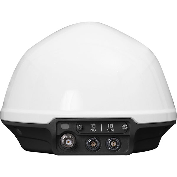
- TNC / LoRa antenna interface (reserved)
- Data Interfaces
- 7-Pin / RS232 + RS485 + 5V/12V + GND
- Data Interfaces
- 2-Pin / Power
- Data Interfaces
- SIM Card Slot / 4G, NB-IoT (reserved)
- Data Interfaces
- Indicator / 1 tri-color LED (Red/Green/Blue): Solid red after power-on; solid green when network is normal; solid blue when connected to device Wi-Fi or Bluetooth
- Physical Specifications
- Dimensions / φ171 × 123.5 mm
- Physical Specifications
- Weight / Approx. 1070 g
- Environmental Specifications
- Operating Temperature / -30°C to +65°C
- Environmental Specifications
- Storage Temperature / -40°C to +85°C
- Environmental Specifications
- Dustproof & Waterproof / IP68
- Environmental Specifications
- Humidity / 100% condensation-resistant
Related
All monitoring systemsView all
Similar monitoring systems
ComNav
MS-SAR5000
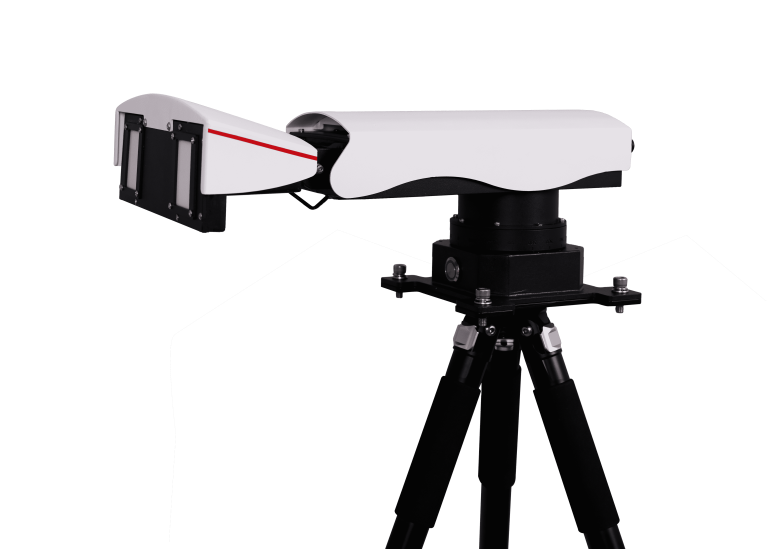
Advanced slope stability monitoring radar developed by ComNav Technology Co., Ltd. This cutting-edge system…
Get a quote
Get a quote for MIS30
Tell us how many units and where they ship. An engineer replies with price, lead time and freight within 24 hours.
- Reply within 24 hours
- Original units with serial numbers
- Local coordinate system preset
Reply within 24 h · Original units · Local datum preset