
UniStrong
Multi-Source Data Management and Service System V2.0
Based on the self-developed proprietary BeyonDB spatial database, the Multi-Source Data Management and Service…
Authorized distributor of original survey instruments·Dispatch in 3 to 7 working days·DDP / CIF / FOB
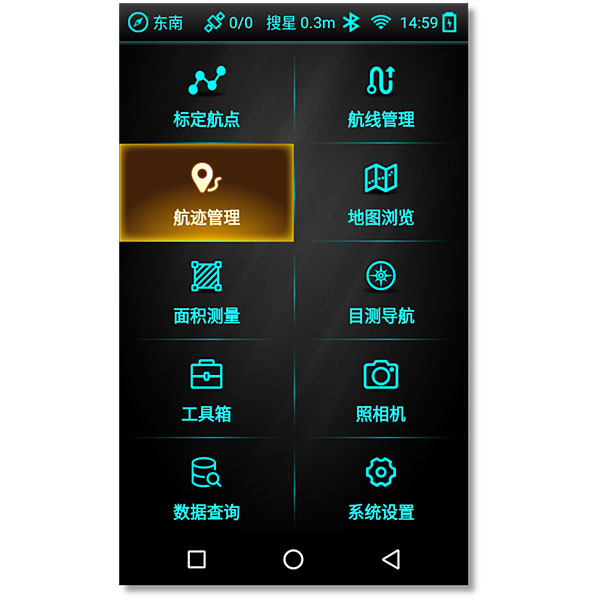
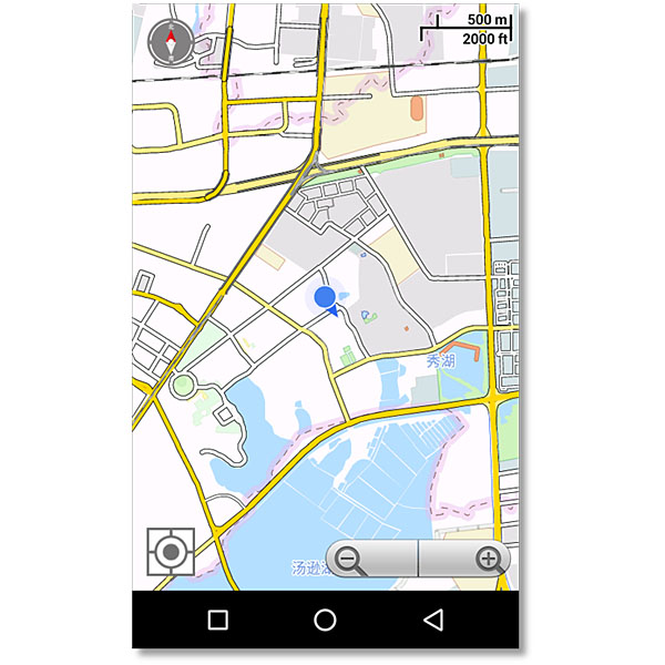
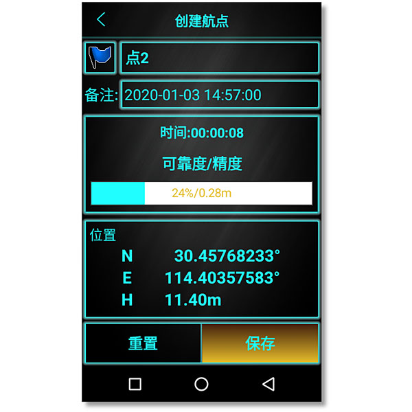
Designed to meet user demands for outdoor handheld navigation on mobile handheld terminals, this software is developed utilizing BeiDou positioning, electronic compass, multimedia device sensors, and GIS geographic information technology. Featuring built-in nationwide vector maps, it supports the management of waypoints, routes, and tracks, and…
Original UniStrong unit·Authorized distributor
Designed to meet user demands for outdoor handheld navigation on mobile handheld terminals, this software is developed utilizing BeiDou positioning, electronic compass, multimedia device sensors, and GIS geographic information technology. Featuring built-in nationwide vector maps, it supports the management of waypoints, routes, and tracks, and integrates with maps for target positioning and navigation, delivering a streamlined mobile GIS solution for users. Designed to meet user needs for outdoor handheld navigation, this software is developed for mobile handheld terminals by leveraging BeiDou positioning, electronic compass, multimedia, and other device sensor capabilities, along with GIS geographic information technology. With built-in nationwide vector maps, it supports waypoint, route, and track marking and management, as well as map-integrated target positioning and navigation, providing users with a streamlined mobile GIS solution.
Based on the self-developed proprietary BeyonDB spatial database, the Multi-Source Data Management and Service…
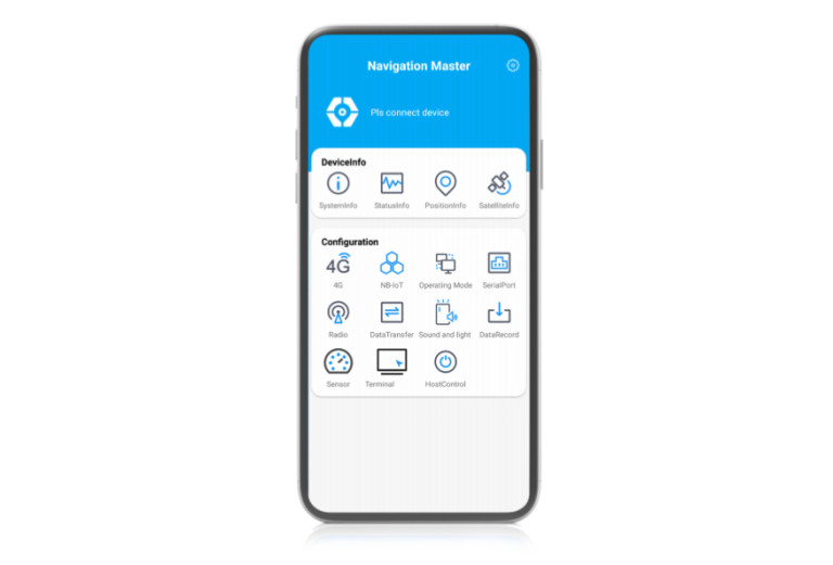
Navigation-oriented multifunctional Android software developed by ComNav Technology. lt enables quickly information viewing, parameter…

Tell us how many units and where they ship. An engineer replies with price, lead time and freight within 24 hours.
Reply within 24 h · Original units · Local datum preset