ComNav
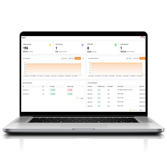
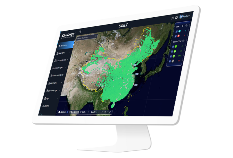
CORS Server software, which can check information about all tracked satellites, collect raw observation…
CHCNAV
Comprehensive, server-based solution designed to manage and operate GNSS CORS and RTK networks on…
CHCNAV
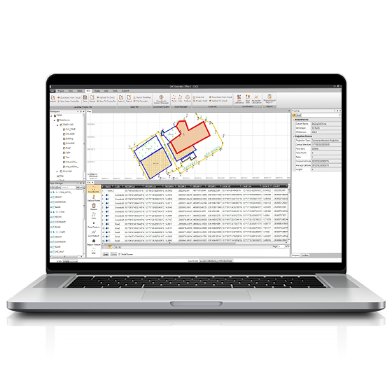
CGO software is designed to edit, process, and analyze GNSS data, delivering high-precision positioning…
- Operating system
- Windows
- Functions
- GNSS data processing
CHCNAV
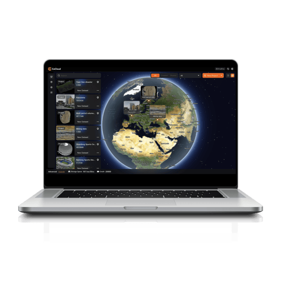
Cloud-based 3D processing and visualization platform that transforms captured spatial data into 3D deliverables.…
- Operating system
- Cloud-Native
- File formats
- .zip
CHCNAV
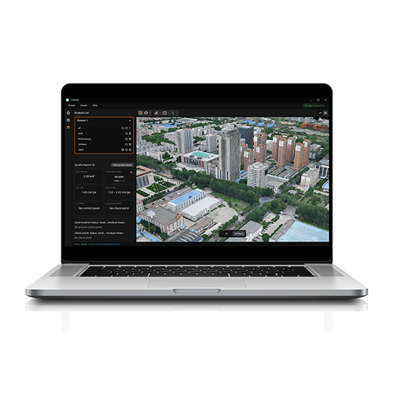
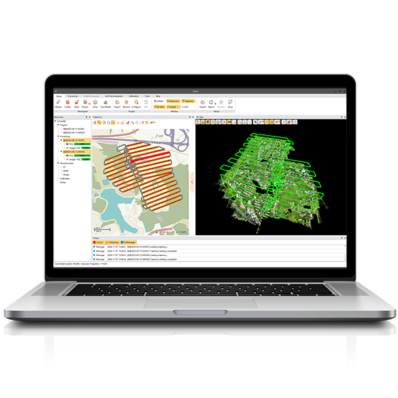
CoMeta is professional photogrammetry and 3D modeling software for UAV mapping and large-scale 3D…
ComNav
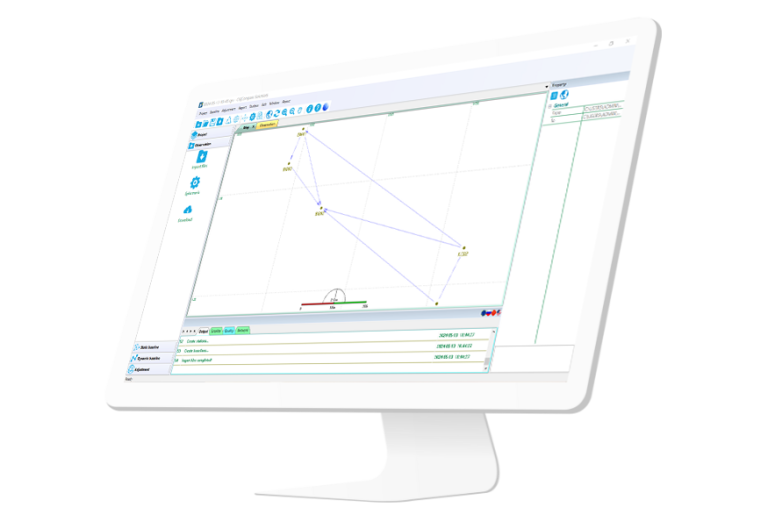
Independently developed software by ComNav for GNSS static and Dynamic post-processing analysis. lt supports…
CHCNAV
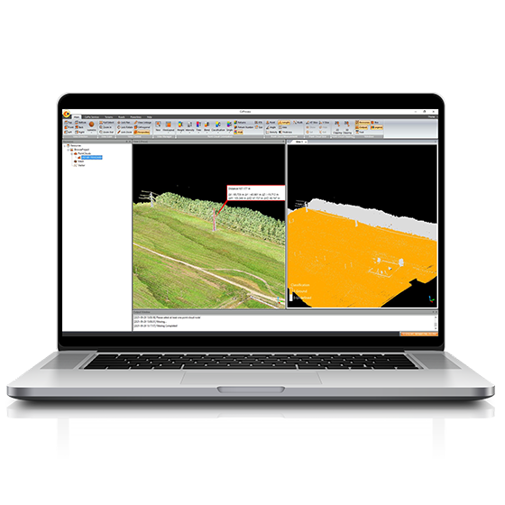
Comprehensive LiDAR processing software developed by CHCNAV for efficient and accurate mobile geospatial data…
- Operating system
- Windows
- Languages
- English, Chinese
CHCNAV
Professional point cloud processing software designed to convert large-scale LiDAR datasets into engineering-ready deliverables.…
CHCNAV
Powerful software solution tailored to the post-processing of massive point cloud data. It seamlessly…
- Operating system
- Windows
- Languages
- English, Chinese,
- File formats
- codata,las, and more.
CHCNAV
Explore Reality. Present with Clarity.
- Languages
- English, Chinese
ComNav
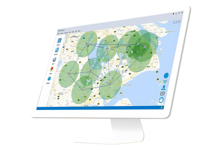
ComNav Cloud Based CORS Service consists of CDC.NET (main CORS stream processing engine), CDC+…
CHCNAV
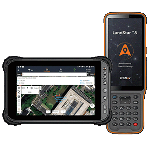
Trusted data collection app for Android devices and CHCNAV controllers, streamlining high-precision surveying and…
- Operating system
- Android
- Languages
- Over 35 supported
- Device
- Bluetooth, Wi-Fi
ComNav
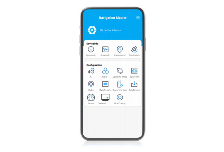
Navigation-oriented multifunctional Android software developed by ComNav Technology. lt enables quickly information viewing, parameter…
CHCNAV
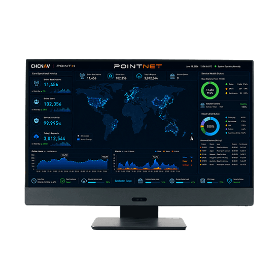
PointNet is CHC Navigation’s internet-based GNSS RTK correction service, delivering real-time centimeter-level positioning through…
- Availability
- 99.99%
- Concurrency
- >10⁶
- Delivery
- Cellular (Internet)
CHCNAV
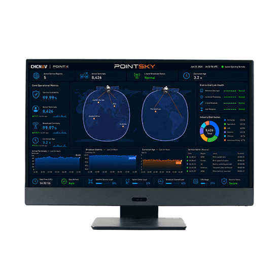
PointSky is CHC Navigation L-Band satellite-based GNSS correction service for high-accuracy real-time positioning without…
- Availability
- 99.9%
- Concurrency
- >10⁶
- Data Format
- Proprietary format
ComNav
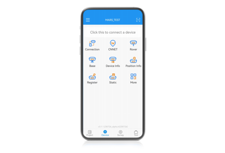
With Suvery Master you can survey through Topo survey/Auto survey, Static and PPK modes;…