CHCNAV
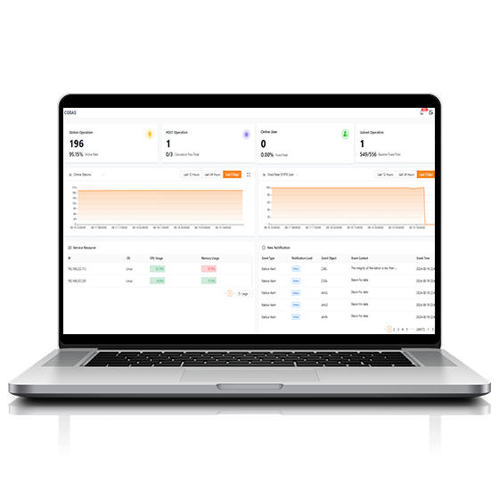
Comprehensive, server-based solution designed to manage and operate GNSS CORS and RTK networks on…
CHCNAV
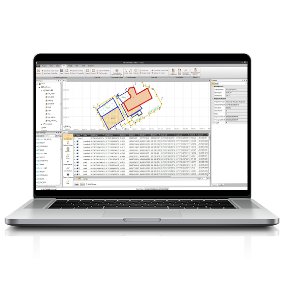
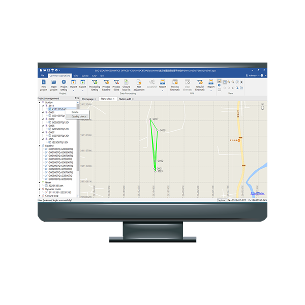
CGO software is designed to edit, process, and analyze GNSS data, delivering high-precision positioning…
- Operating system
- Windows
- Functions
- GNSS data processing
CHCNAV
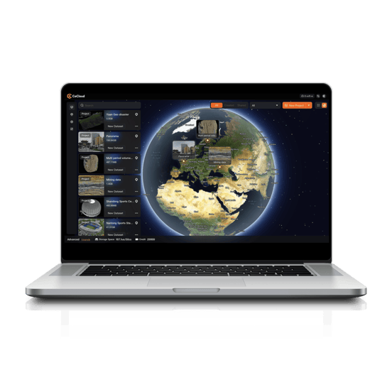
Cloud-based 3D processing and visualization platform that transforms captured spatial data into 3D deliverables.…
- Operating system
- Cloud-Native
- File formats
- .zip
CHCNAV
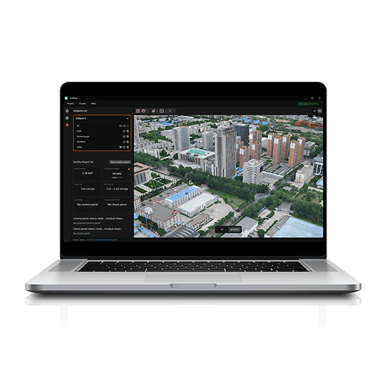
CoMeta is professional photogrammetry and 3D modeling software for UAV mapping and large-scale 3D…
CHCNAV
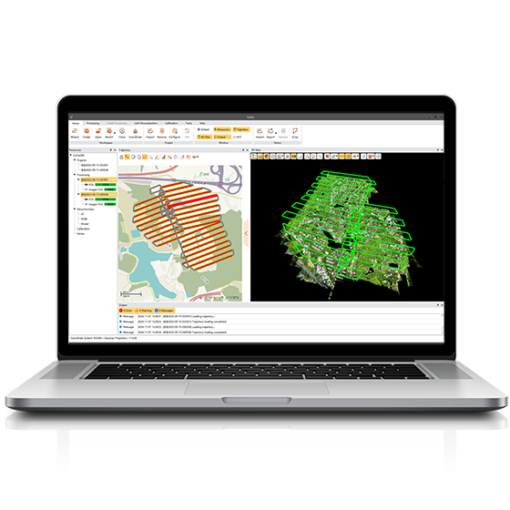
Comprehensive LiDAR processing software developed by CHCNAV for efficient and accurate mobile geospatial data…
- Operating system
- Windows
- Languages
- English, Chinese
CHCNAV
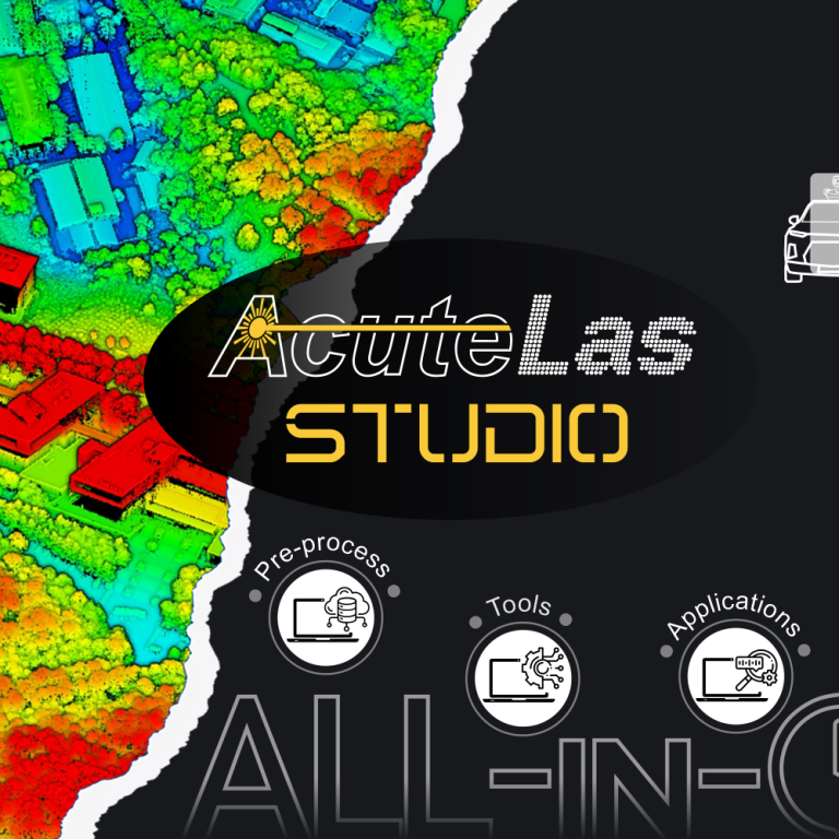
Professional point cloud processing software designed to convert large-scale LiDAR datasets into engineering-ready deliverables.…
CHCNAV
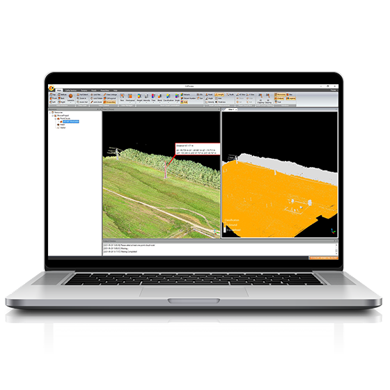
Powerful software solution tailored to the post-processing of massive point cloud data. It seamlessly…
- Operating system
- Windows
- Languages
- English, Chinese,
- File formats
- codata,las, and more.
CHCNAV
Explore Reality. Present with Clarity.
- Languages
- English, Chinese
FOIF
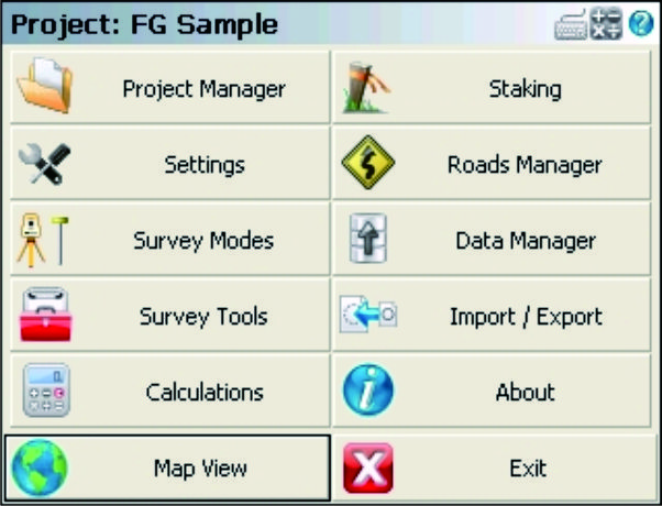
FOIF FieldGenius is professional surveying and mapping software, with user-friendly toolbars, powerful modules and…
FOIF
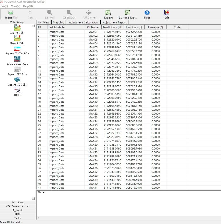
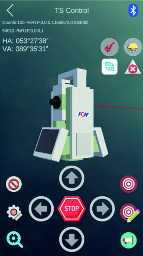
FGO can manage different instrument files in one platform.
FOIF
Supports one man survey with remote control that the stable bluetooth connection can be…
CHCNAV
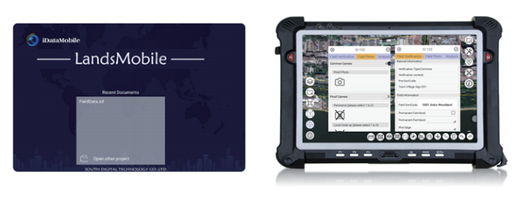
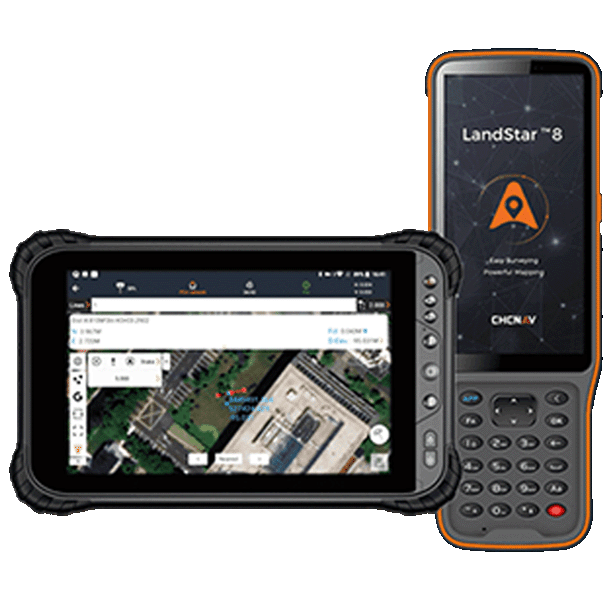
Trusted data collection app for Android devices and CHCNAV controllers, streamlining high-precision surveying and…
- Operating system
- Android
- Languages
- Over 35 supported
- Device
- Bluetooth, Wi-Fi

CHCNAV
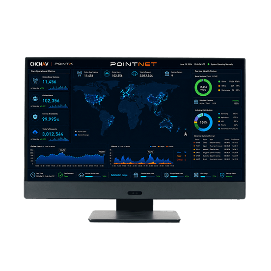
PointNet is CHC Navigation’s internet-based GNSS RTK correction service, delivering real-time centimeter-level positioning through…
- Availability
- 99.99%
- Concurrency
- >10⁶
- Delivery
- Cellular (Internet)
CHCNAV
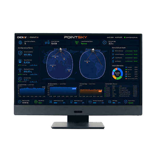
PointSky is CHC Navigation L-Band satellite-based GNSS correction service for high-accuracy real-time positioning without…
- Availability
- 99.9%
- Concurrency
- >10⁶
- Data Format
- Proprietary format
FOIF
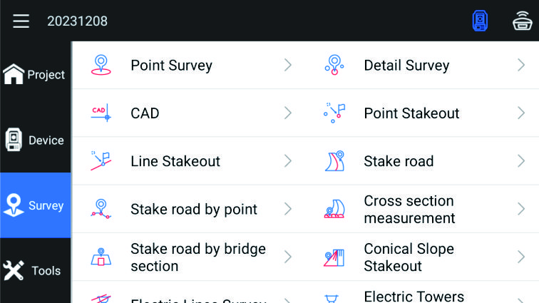
Outstanding surveying and mapping software with powerful functions, which can support GNSS mode and…

- Humidity
- ≤90%, non-condensing
- CPU
- Intel i7/i9
- Software
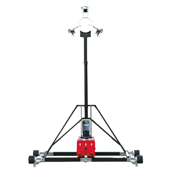
- Tunnel Scan&Go
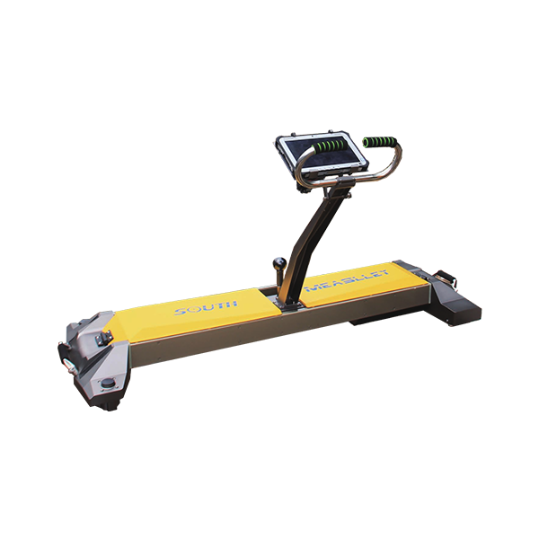
- Odometer Resolution
- ±5.0 mm
- Odometer Error
- < 0.5%
- Gauge Indicator Error
- ±0.30 mm
