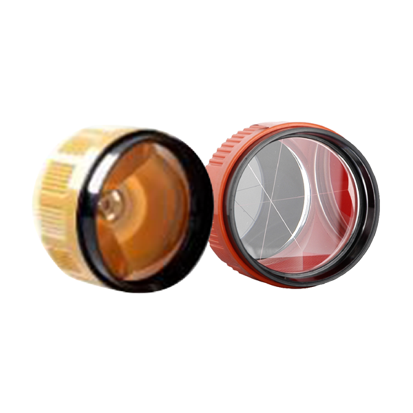
- Type
- TY03-RED /YOW
- Diameter
- 64mm
- Coating
- None
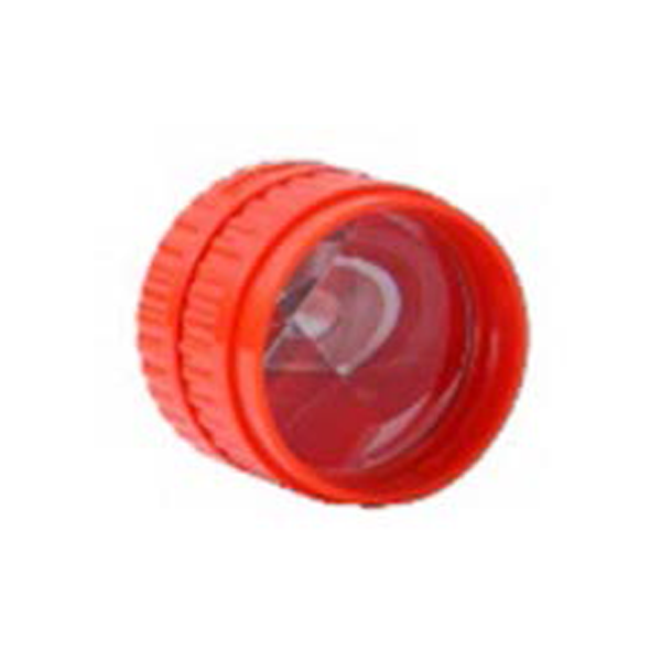
- Type
- TY06
- Diameter
- 64mm
- Coating
- None
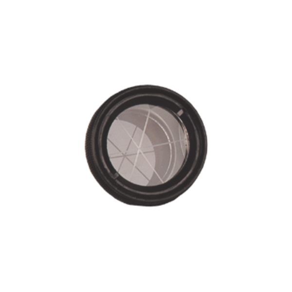
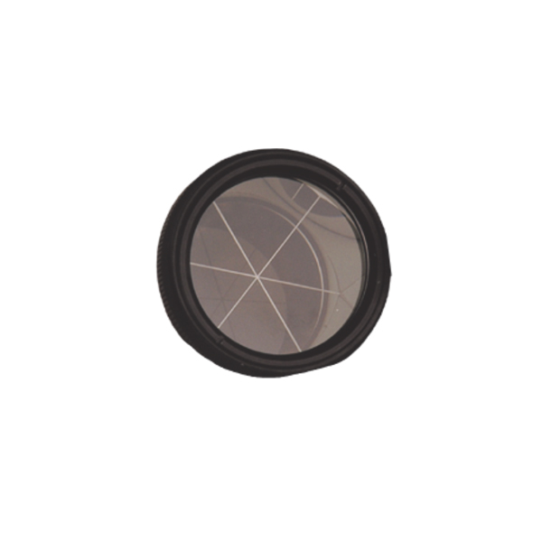
- Diameter
- 35mm
- Canister
- Metal
- Standard
- TPSmini115
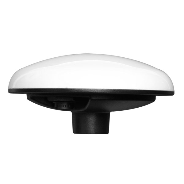
- Diameter
- 38mm
- Canister
- Metal
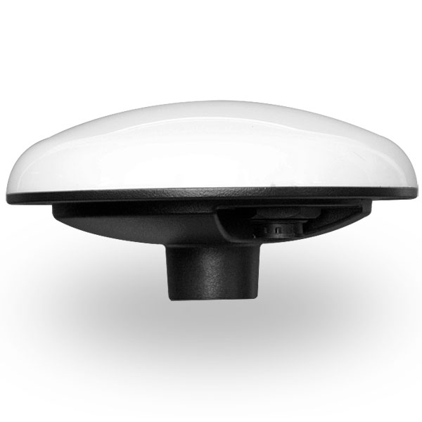
UniStrong
GNSS Smart Antenna
- Number of Channels
- Single channel
- Frequency Range
- 1525 - 1560 MHz
- Baud Rate
- 4800 - 115200 bps
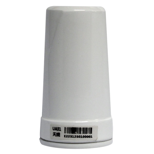
- Tracking Sensitivity
- -142 dBm
- Timing Accuracy
- 10 ns (RMS)
- Reacquisition Time
- < 1 s
UniStrong
High-performance GNSS antenna supporting GPS L1/L2, BeiDou B1/B2, and L-Band, specifically designed for UAV…
- Polarization
- RHCP
- Axial Ratio
- <1 dB @ boresight
- Active Gain
- 30 dB, typical

UniStrong
High-performance multi-constellation, multi-frequency helix antenna covering GPS, GLONASS, BeiDou, Galileo, QZSS, and OmniSTAR. Designed…
- Polarization
- RHCP
- Axial Ratio
- <1 dB @ boresight
- Active Gain
- 30 dB, typical
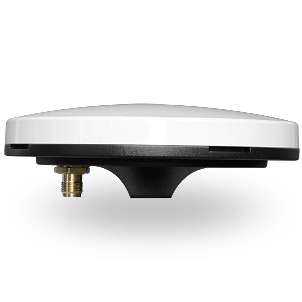
UniStrong
Survey-grade GNSS antenna that covers the reception of BeiDou, GPS, GLONASS, Galileo, and QZSS…
- Polarization
- RHCP
- Input Impedance
- 50Ω
- VSWR
- ≤2
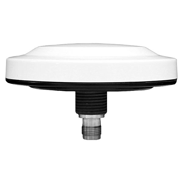
UniStrong
Compact multi-constellation dual-frequency GNSS antenna featuring a compact design that supports signal reception from…
- Polarization
- RHCP
- Axial Ratio
- 2.5 dB Max @ boresight
- LNA Gain
- 30 dB, typical
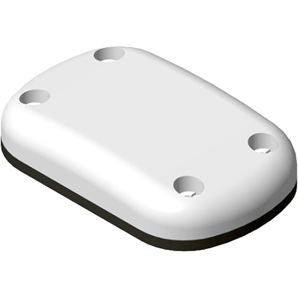
UniStrong
GNSS Aviation Antenna
- Axial Ratio
- 3 dB Max (Zenith)
- LNA Gain
- 36 dB, typical
- LNA Noise Figure
- 2.5 dB Max
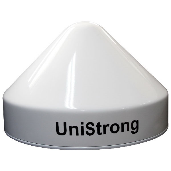
UniStrong
GNSS Choke Ring Antenna
- Passive Gain
- ≥5dBi @ Zenith
- Input Impedance
- 50Ω
- VSWR
- ≤1.3
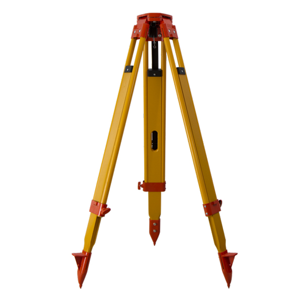
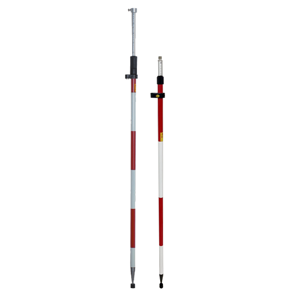
- Model
- СLS11 /CLS21
- Sections
- 2 sections
- Grads
- -

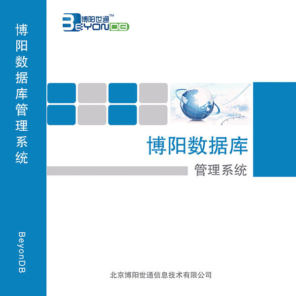
UniStrong
Enterprise-grade, cross-platform, distributed, and highly secure database management system software with independent intellectual property…
- Specification
- Parameter
- Network Protocol
- Supports TCP/IP
- Clustering Modes
- Sharding, replication

UniStrong
Spatial Data Service System

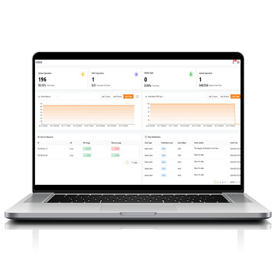
CHCNAV
Comprehensive, server-based solution designed to manage and operate GNSS CORS and RTK networks on…
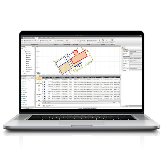
CHCNAV
CGO software is designed to edit, process, and analyze GNSS data, delivering high-precision positioning…
- Operating system
- Windows
- Functions
- GNSS data processing
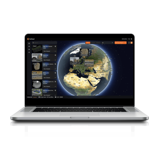
CHCNAV
Cloud-based 3D processing and visualization platform that transforms captured spatial data into 3D deliverables.…
- Operating system
- Cloud-Native
- File formats
- .zip
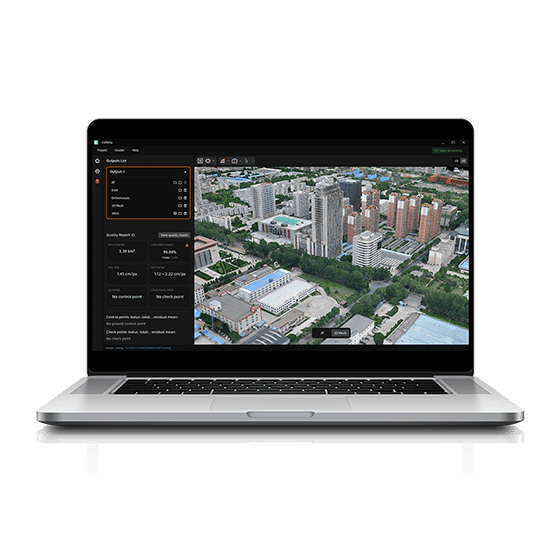
CHCNAV
CoMeta is professional photogrammetry and 3D modeling software for UAV mapping and large-scale 3D…
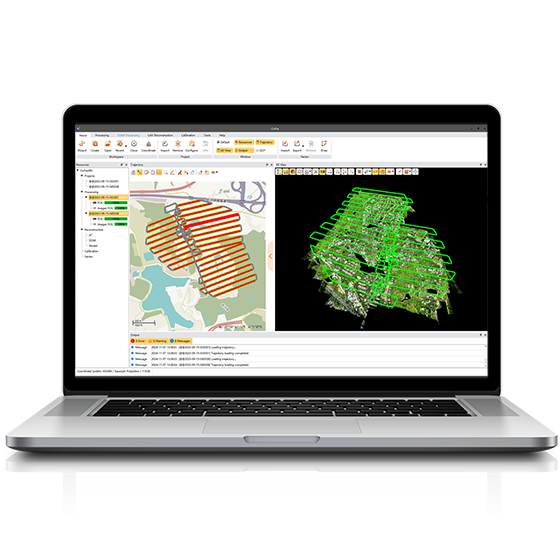
CHCNAV
Comprehensive LiDAR processing software developed by CHCNAV for efficient and accurate mobile geospatial data…
- Operating system
- Windows
- Languages
- English, Chinese
