
UniStrong
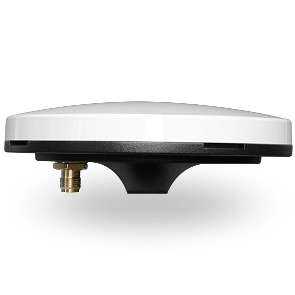
High-performance multi-constellation, multi-frequency helix antenna covering GPS, GLONASS, BeiDou, Galileo, QZSS, and OmniSTAR. Designed…
- Polarization
- RHCP
- Axial Ratio
- <1 dB @ boresight
- Active Gain
- 30 dB, typical
UniStrong
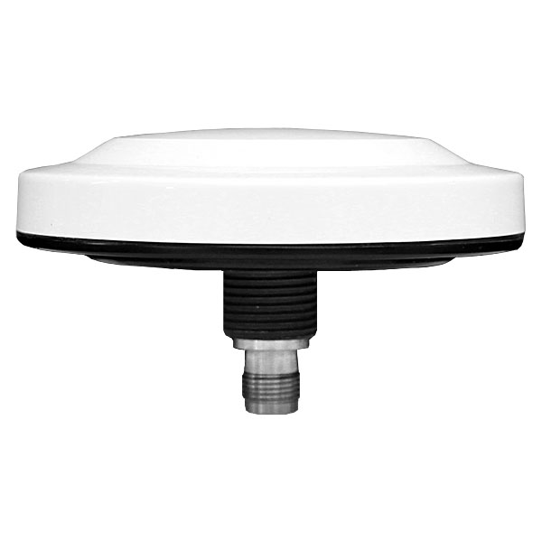
Survey-grade GNSS antenna that covers the reception of BeiDou, GPS, GLONASS, Galileo, and QZSS…
- Polarization
- RHCP
- Input Impedance
- 50Ω
- VSWR
- ≤2
UniStrong
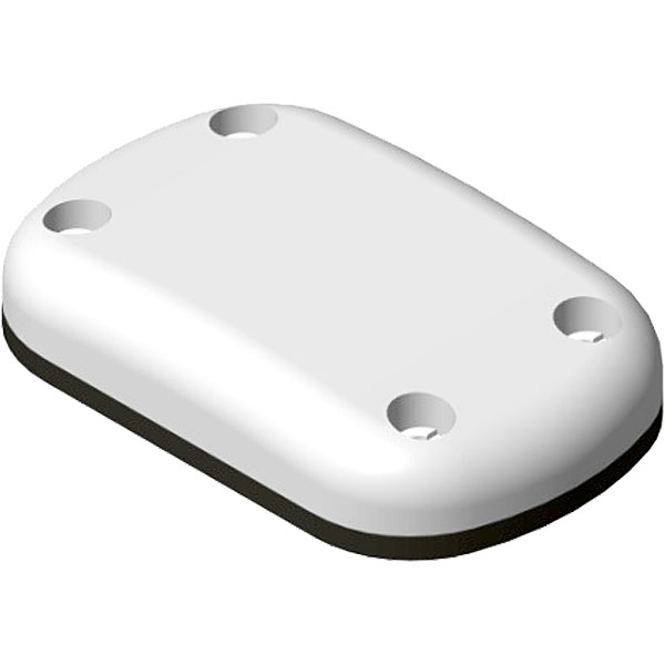
Compact multi-constellation dual-frequency GNSS antenna featuring a compact design that supports signal reception from…
- Polarization
- RHCP
- Axial Ratio
- 2.5 dB Max @ boresight
- LNA Gain
- 30 dB, typical
UniStrong
GNSS Aviation Antenna
- Axial Ratio
- 3 dB Max (Zenith)
- LNA Gain
- 36 dB, typical
- LNA Noise Figure
- 2.5 dB Max

UniStrong
GNSS Choke Ring Antenna
- Passive Gain
- ≥5dBi @ Zenith
- Input Impedance
- 50Ω
- VSWR
- ≤1.3
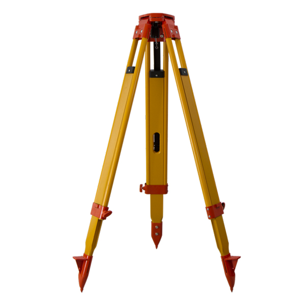
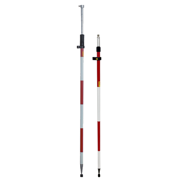
- Model
- СLS11 /CLS21
- Sections
- 2 sections
- Grads
- -


UniStrong
Enterprise-grade, cross-platform, distributed, and highly secure database management system software with independent intellectual property…
- Specification
- Parameter
- Network Protocol
- Supports TCP/IP
- Clustering Modes
- Sharding, replication

UniStrong
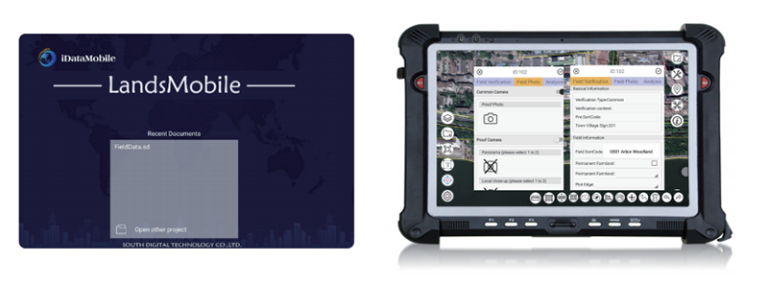
Spatial Data Service System
ComNav
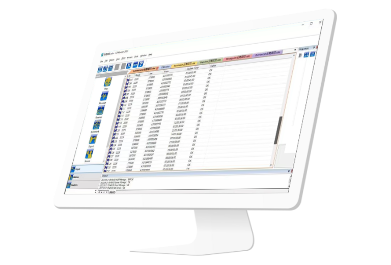
CDMonitor software is a professional deformation monitoring tool. lt can simultaneously perform real-time three-dimensional…
ComNav
Useful Ntrip Caster software, it can transfer the Base corrections by internet to Rover…
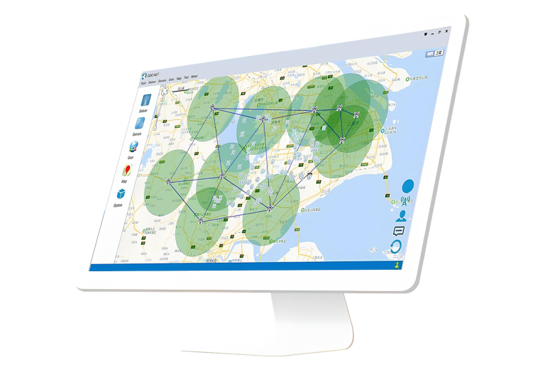
ComNav
CORS Server software, which can check information about all tracked satellites, collect raw observation…
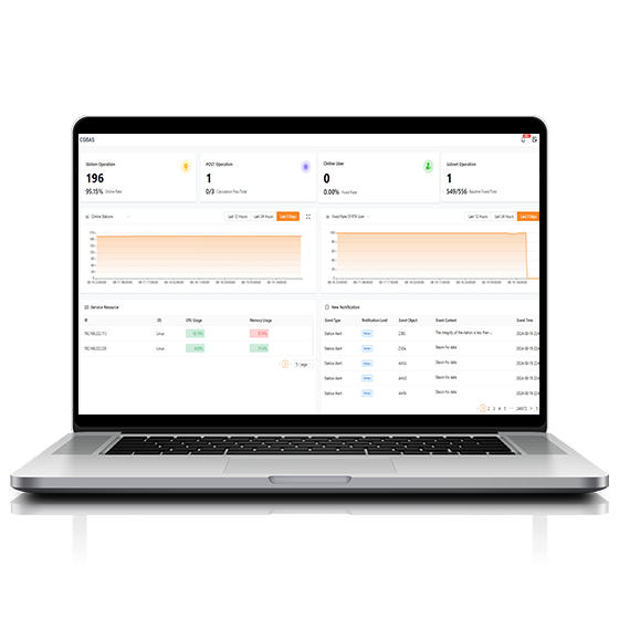
CHCNAV
Comprehensive, server-based solution designed to manage and operate GNSS CORS and RTK networks on…
CHCNAV
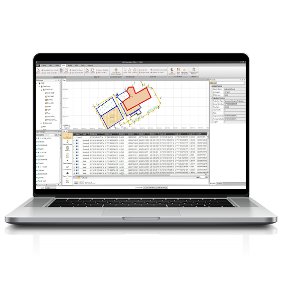
CGO software is designed to edit, process, and analyze GNSS data, delivering high-precision positioning…
- Operating system
- Windows
- Functions
- GNSS data processing
CHCNAV
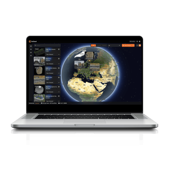
Cloud-based 3D processing and visualization platform that transforms captured spatial data into 3D deliverables.…
- Operating system
- Cloud-Native
- File formats
- .zip
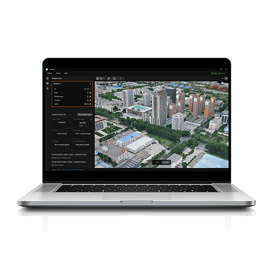
CHCNAV
CoMeta is professional photogrammetry and 3D modeling software for UAV mapping and large-scale 3D…
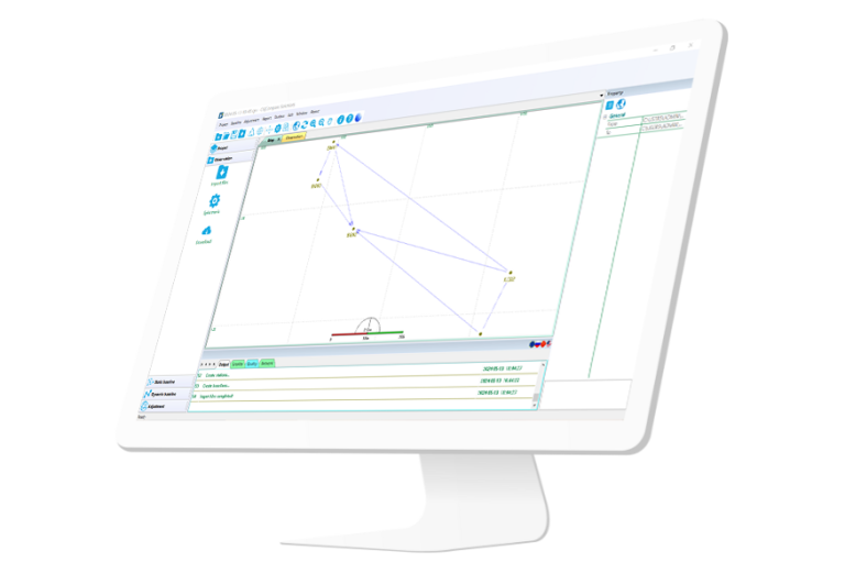
ComNav
Independently developed software by ComNav for GNSS static and Dynamic post-processing analysis. lt supports…
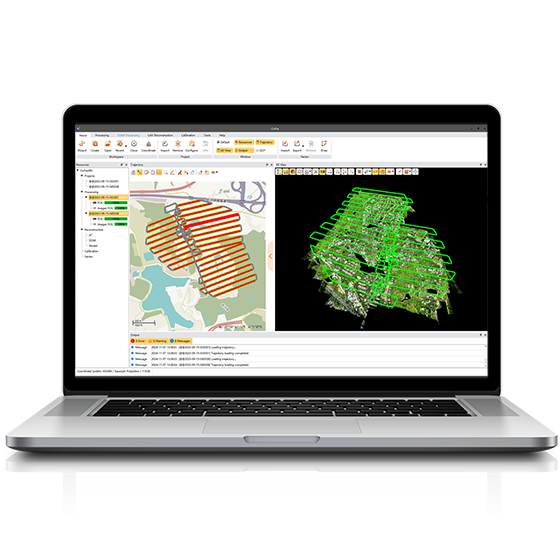
CHCNAV
Comprehensive LiDAR processing software developed by CHCNAV for efficient and accurate mobile geospatial data…
- Operating system
- Windows
- Languages
- English, Chinese
CHCNAV
Professional point cloud processing software designed to convert large-scale LiDAR datasets into engineering-ready deliverables.…
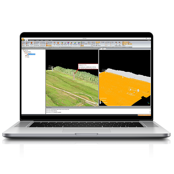
CHCNAV
Powerful software solution tailored to the post-processing of massive point cloud data. It seamlessly…
- Operating system
- Windows
- Languages
- English, Chinese,
- File formats
- codata,las, and more.
CHCNAV
Explore Reality. Present with Clarity.
- Languages
- English, Chinese
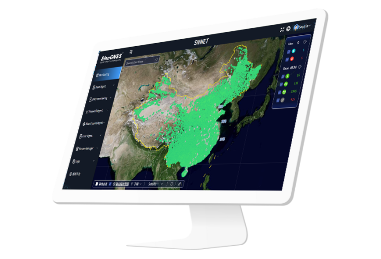
ComNav
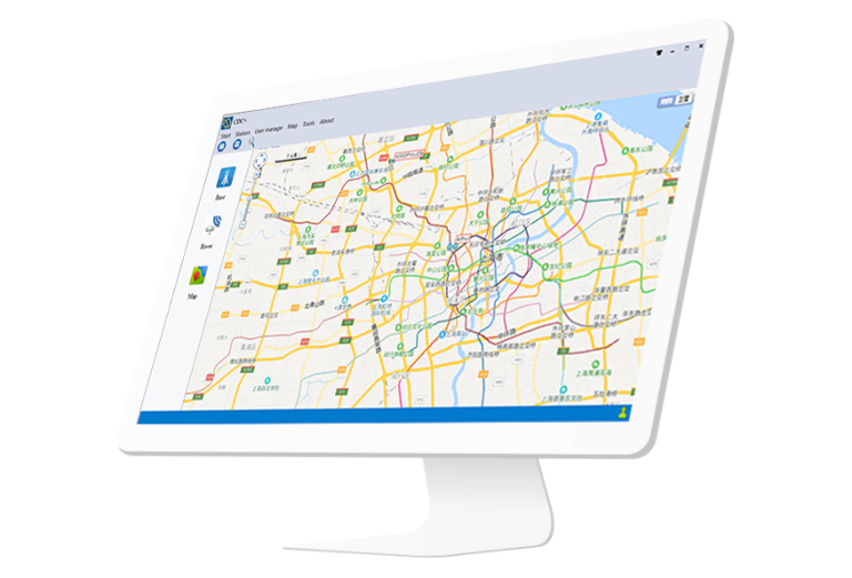
ComNav Cloud Based CORS Service consists of CDC.NET (main CORS stream processing engine), CDC+…
