ComNav
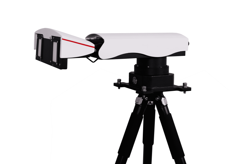
Universal Slope Monitoring Radar
ComNav
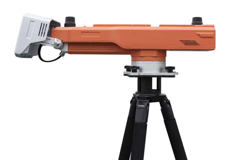
Advanced slope stability monitoring radar developed by ComNav Technology Co., Ltd. This cutting-edge system…
ComNav
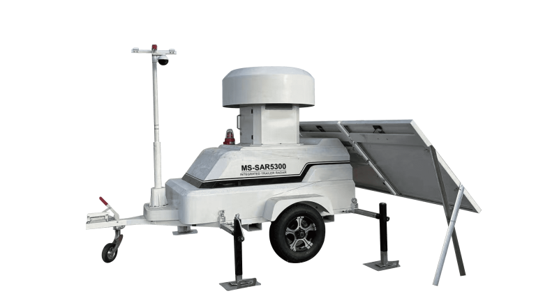
Trailer-mounted radar monitoring station designed to adapt to dynamic monitoring needs in large open-pit…
CHCNAV
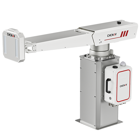
The PS-2000 Multi-point Deformation Monitoring System is designed for high-precision slope stability monitoring. Utilizing…
- Range
- 30 - 5000 m
- Field of view
- 360°
- Update rate
- 360° in 120 s
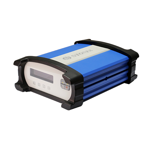
Stonex
Smart CORS Terminal
- SC200 II
- SC200 II
- Channels
- 220-550
- GPS
- L1 C/A, L2E, L2C, L5
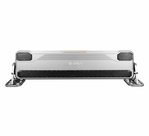
Stonex
Slope radar and comprehensive monitoring solutions. Providing slope radar solutions and integrated monitoring solutions…
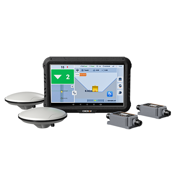
CHCNAV
The EasyNAV EMG100 2.5D Excavator System is a precise and user-friendly solution designed for…
- GNSS
- Full GNSS
- Precision max.
- ±3 cm
- Display
- 10.1", Android, IP65
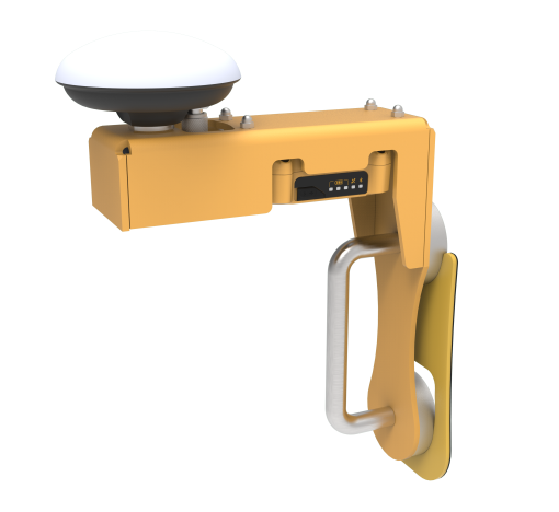
Stonex
Excavator Guidance System
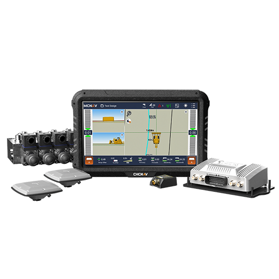
CHCNAV
The TD63 PRO automatic 3D control system for dozers enhances the quality and efficiency…
- GNSS
- Full GNSS
- Precision max.
- 1 cm H / 1.5 cm V
- Display
- 10.1", Android, IP65
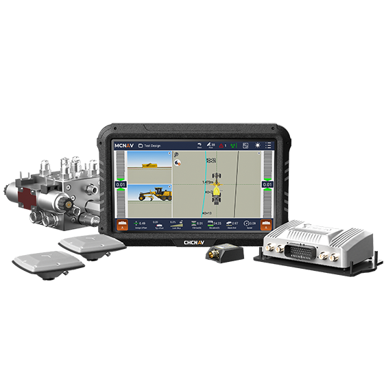
CHCNAV
3D grade control system for graders that delivers automatic grader machine control on construction…
- GNSS
- Full GNSS
- Precision max.
- 1 cm H / 1.5 cm V
- Display
- 10.1", Android, IP65
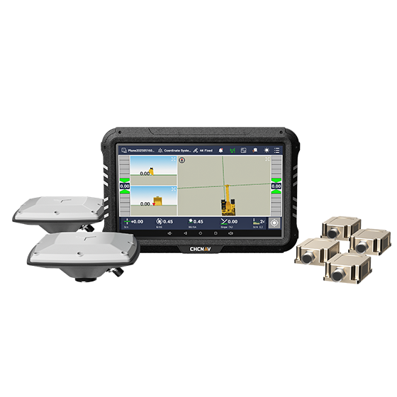
CHCNAV
3D guidance system designed to enhance the efficiency of excavation work. Utilizing dual-GNSS modules,…
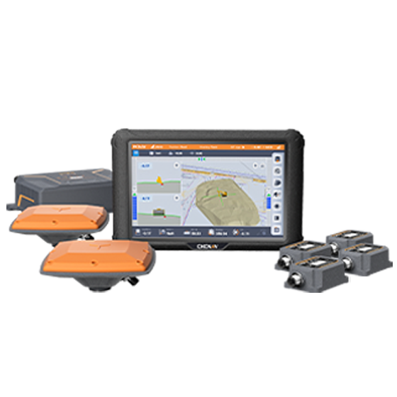
CHCNAV
The MCNAV TX73 is a 3D excavator machine control system that combines advanced GNSS…
- GNSS
- Full GNSS
- Precision max.
- 1 cm H / 1.5 cm V
- Display
- 10.1", Android, IP65
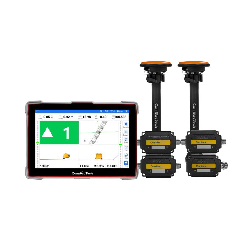
- GPS
- L1C/A, L2C, L2P
- BDS
- B1I, B2I, B3I, B2b
- GLONASS
- G1, G2
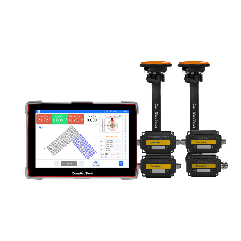
ComNav
Advanced guidance system designed for high-precision piling operations. Engineered for all-weather performance, the XP300…
- GPS
- L1C/A, L2C, L2P
- BDS
- B1I, B2I, B3I, B2b
- GLONASS
- G1, G2
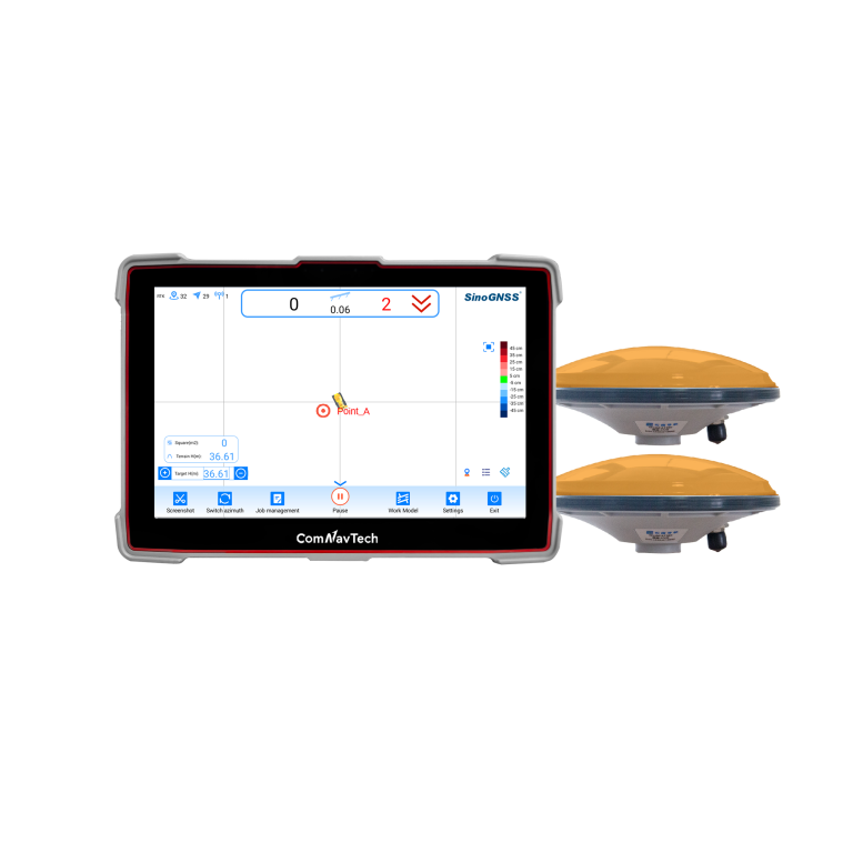
ComNav
Professional guidance system for bulldozer leveling operationswhich independently developed and produced by ComNav Technology…
- Time accuracy
- 20ns
- Post processing
- 2.5mm+1ppm 5.0mm+1ppm
- Velocity Accuracy
- < 0.02m/s
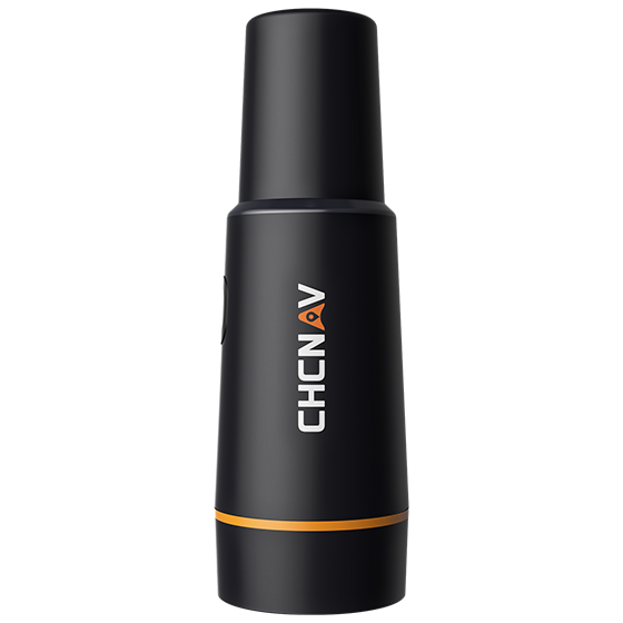
CHCNAV
Portable GNSS receiver designed for use with CHCNAV auto steering systems. It integrates an…
- GNSS
- Full GNSS
- Precision max.
- ≤ 2.5 cm
- Display
- Mobile phone APP
CHCNAV
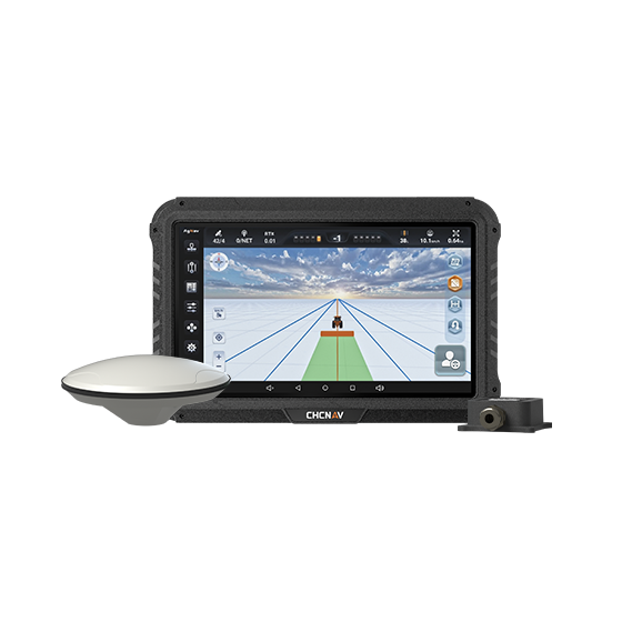
Manual GPS guidance system that helps farmers steer tractors and other agricultural vehicles accurately…
- GNSS
- Full GNSS
- Precision max.
- Sub-meter
- Display
- 10.1", Android
CHCNAV
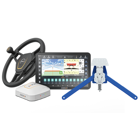
Assisted steering system designed specifically for harvesters. Using advanced crop-row sensors, it detects the…
- Precision max.
- ±40 degrees
- Steering control
- ±8 cm
- Range
- Up to 15 km/h
CHCNAV
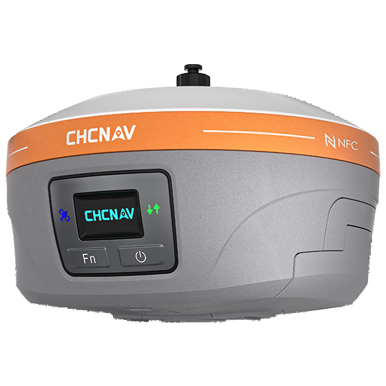
Fully integrated GNSS station designed to enhance the efficiency and productivity of agricultural operations.…
- GNSS
- Full GNSS
- Precision max.
- 0.8 cm H / 1.5 cm V
- Camera
- No
CHCNAV
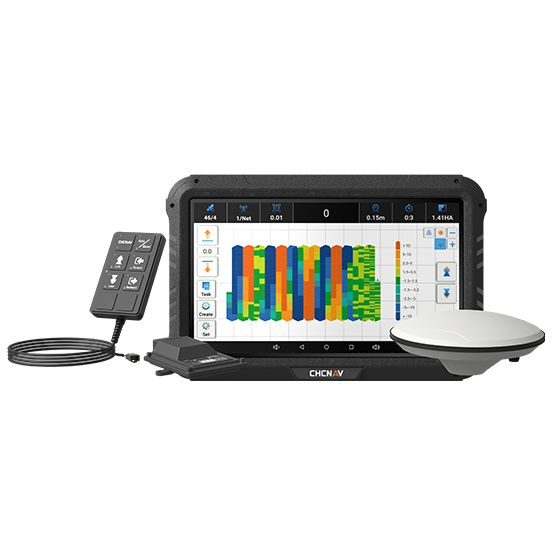
Advanced land leveling system integrating GNSS RTK technology and electro-hydraulic controls to automate the…
- GNSS
- Full GNSS
- Precision max.
- ±2 cm
- Display
- 10.1", Android
CHCNAV
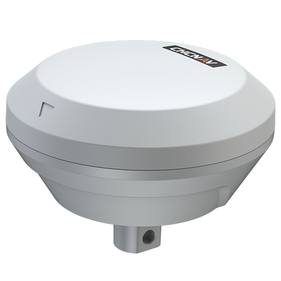
Precision implement guidance system designed to improve straight-line accuracy and row spacing for mounted…
- GNSS
- Full GNSS
- Precision max.
- ≤ 2.5 cm
- IMU
- Inside
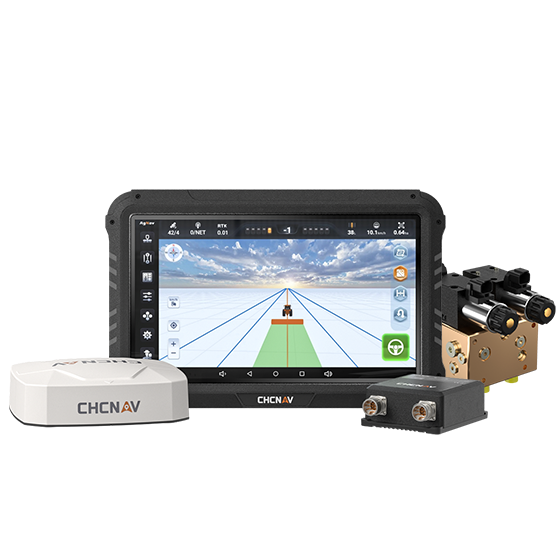
- GNSS
- Full GNSS
- Precision max.
- ≤ 2.5 cm
- Components
- 10.1", Android
CHCNAV
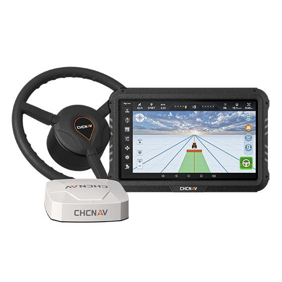
Advanced autosteering system designed to retrofit new and old farm vehicles. The NX510 Pro…
- GNSS
- Full GNSS + L-Band
- Precision max.
- ≤ 2.5 cm
- Display
- 10.1", Android
CHCNAV
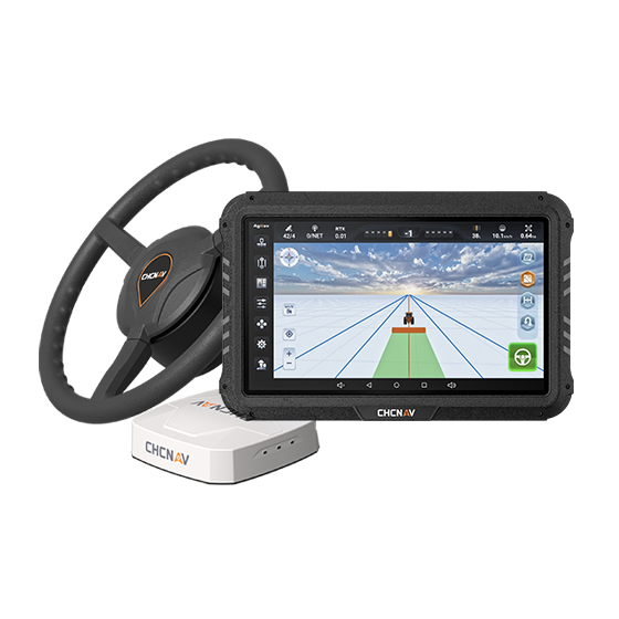
The NX510 SE offers an affordable, compact, and comprehensive retrofit solution for a wide…
- GNSS
- Full GNSS
- Precision max.
- ≤ 2.5 cm
- Display
- 10.1", Android
