
ComNav
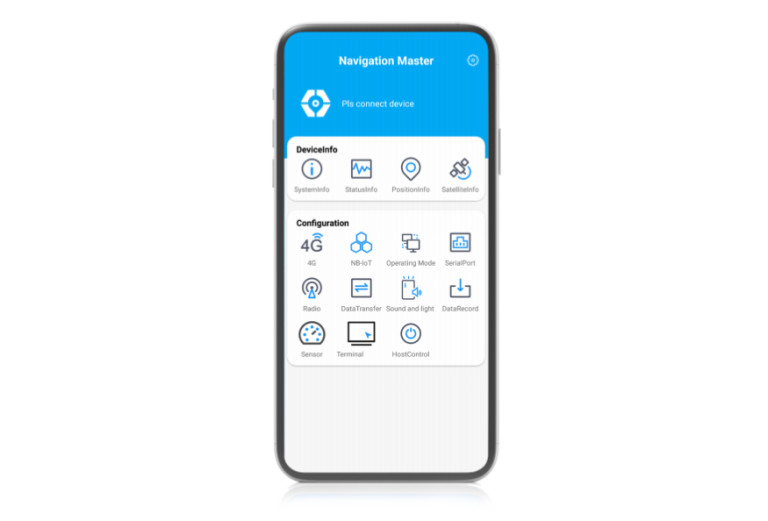
Navigation Master
Navigation-oriented multifunctional Android software developed by ComNav Technology. lt enables quickly information viewing, parameter…
Authorized distributor of original survey instruments·Dispatch in 3 to 7 working days·DDP / CIF / FOB

Based on the self-developed proprietary BeyonDB spatial database, the Multi-Source Data Management and Service System V2.0 achieves integrated organization and management of multi-source data—including satellite imagery, remote sensing imagery, elevation, military standard (J-standard) data, national standard data, toponym data, 3D models, and documents. It provides…
Original UniStrong unit·Authorized distributor
Based on the proprietary domestic BeyonDB spatial database, the Multi-Source Data Management and Service System V2.0 provides integrated organization and management for multi-source data, including satellite imagery, remote sensing imagery, elevation, military standard (J-standard) data, national standard data, toponymic data, 3D models, and documentation. Featuring OGC-compliant map service interfaces, it enables users to rapidly build GIS-related business application systems.
The Multi-Source Data Management and Service System serves primarily as a software platform for the storage, access, management, and servicing of multi-source heterogeneous data. Built on a B/S architecture and the proprietary domestic BeyonDB spatial database, the system enables rapid ingestion, integrated organization, storage, and management of multi-source data such as imagery/vector surveying 4D products, 3D models, and documentation. It supports publishing OGC-compliant vector map services and imagery map services, map service browsing, and feature attribute inspection, while offering system resource monitoring and O&M capabilities. Leveraging this product, users can establish their own spatial data centers and service resource pools, utilizing OGC-compliant map service interfaces to quickly customize and build GIS-related business application systems.
Supports parameter configuration for multi-source data ingestion, enabling data ingestion and storage via compressed archives or server-side selection modes.
Supports publishing ingested imagery or vector data as map services for map preview, as shown in the figures below:
Includes satellite orbit data management, 3D model data management, and multimedia data management. Satellite orbit data management: data upload, visual preview, deletion, attribute editing, query, and download. 3D model data management: data upload, visual preview, deletion, attribute editing, query, and download. Multimedia data management: data upload, deletion, attribute editing, query, and download.
Supports rapid data map retrieval while generating statistics on queried feature results.
Navigation-oriented multifunctional Android software developed by ComNav Technology. lt enables quickly information viewing, parameter…

Tell us how many units and where they ship. An engineer replies with price, lead time and freight within 24 hours.
Reply within 24 h · Original units · Local datum preset