
- Laser Class
- Class-1 eye-safety
- Camera Lens
- 2x 12MP
- Fieldwork Control
- MapStar
Authorized distributor of original survey instruments·Dispatch in 3 to 7 working days·DDP / CIF / FOB
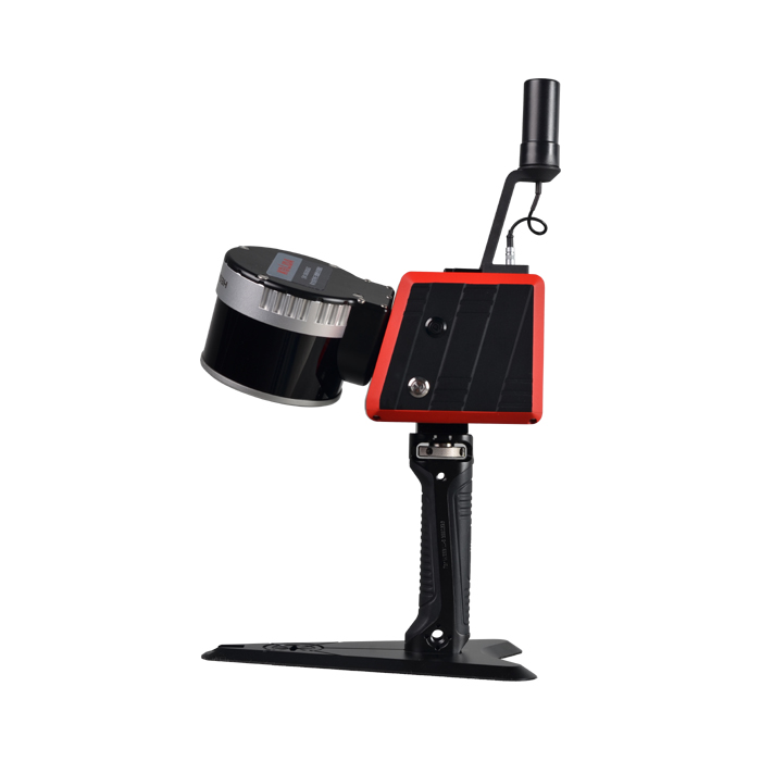
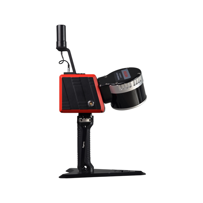
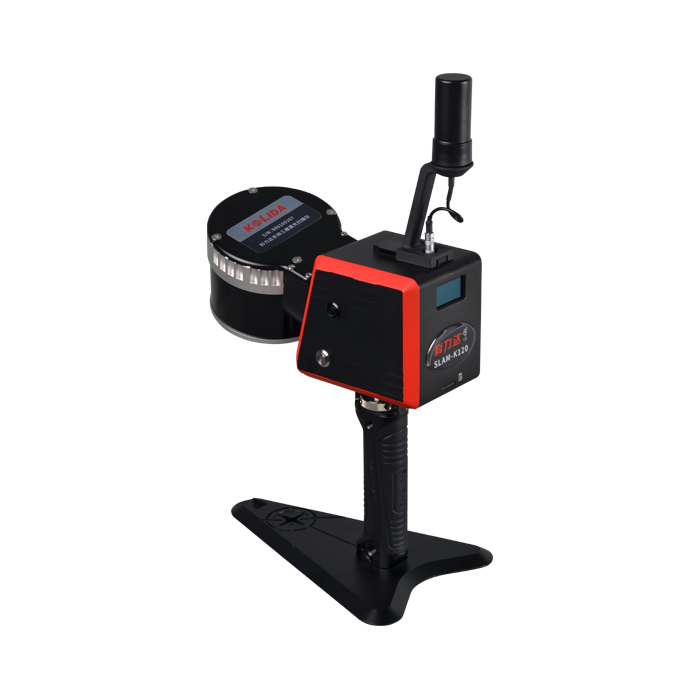
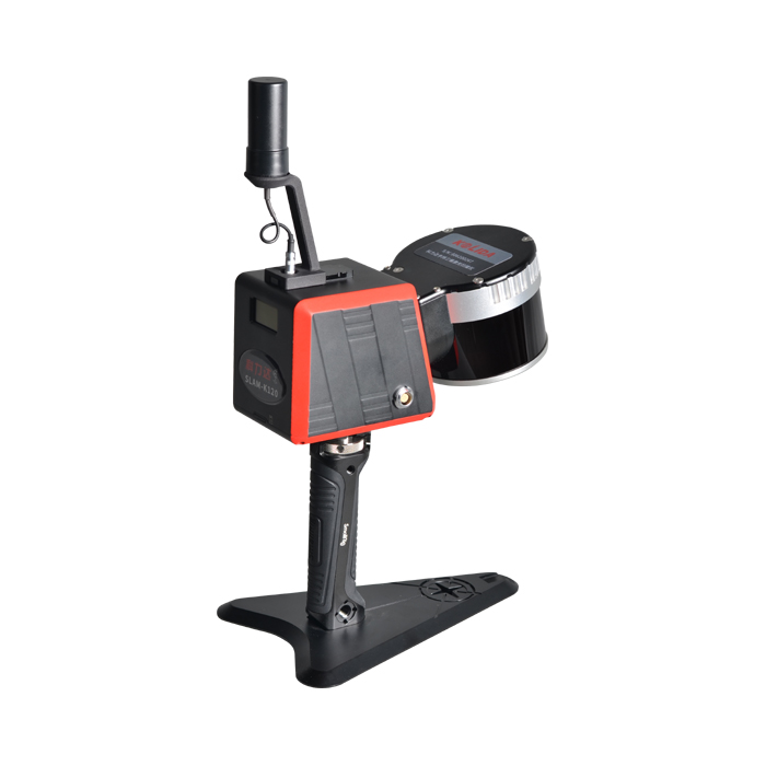
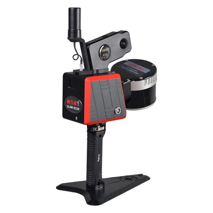
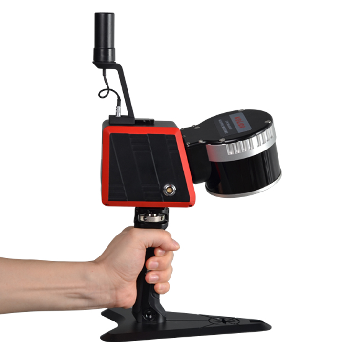
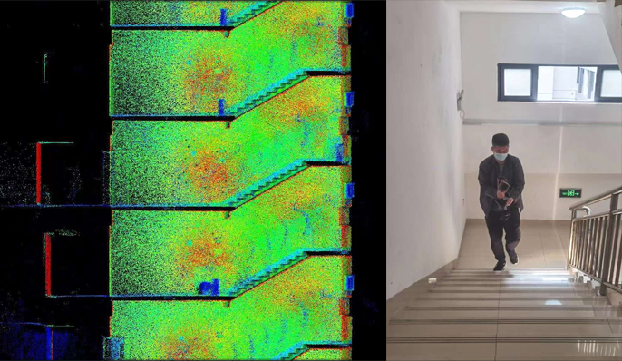
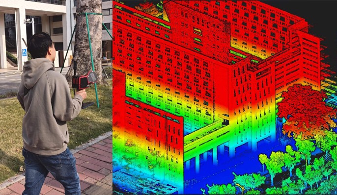
The fusion of SLAM positioning and Laser Scanning, fit for various indoor/ outdoor high precision mapping projects.
Original KOLIDA unit·Authorized distributor
Up to 120m Working Range
320,000 pts per Second Scanning Rate
Best in 1 cm Relative Accuracy
Multiple Carrying Platforms
Performance K120 is able to collect 320,000 points per second, with a scanning range of 120 meters, view field of 360°x 285°, and achieve a relative point accuracy of 1cm (in the best condition).
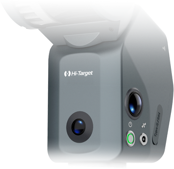
Easy and Accurate! K120 is designed with built-in GNSS RTK module and network module. When you access to a CORS network and performing measurement outdoor, you can skip control-point recording and coordinate system conversion, and achieve a absolute accuracy down to 5cm.
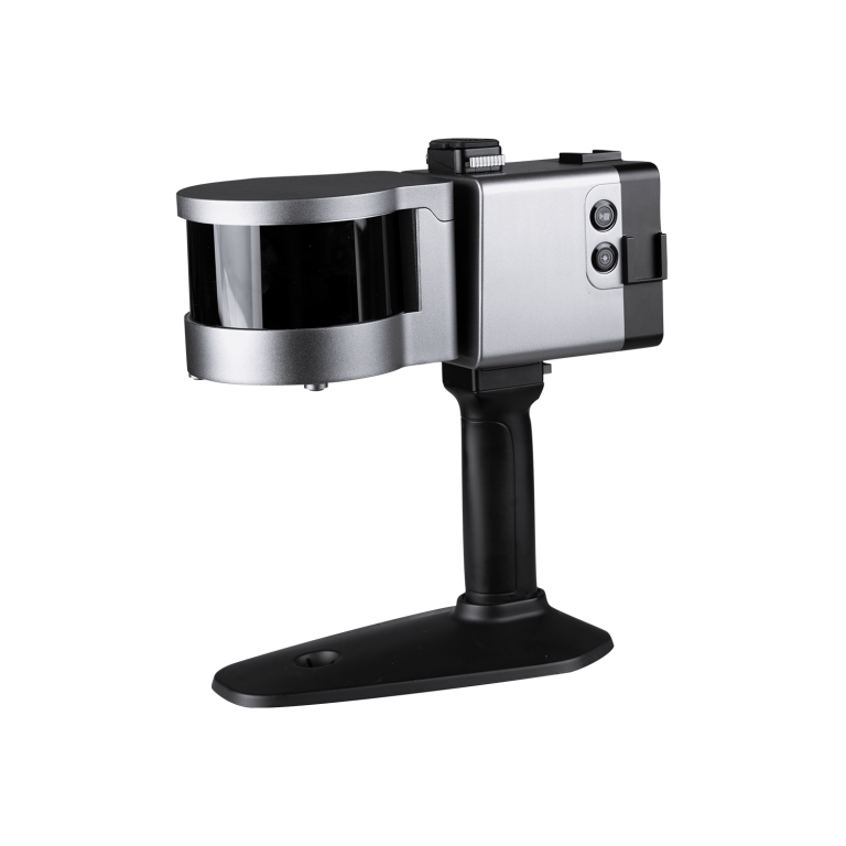
Are Available K120 is able to be upgraded to RTK backpack mapping system, which is more suitable for outdoor applications. Moreover, it can be mounted to USV, UAV, CAR, even Robot Dog.
Software KOLIDA SLAM OFFICE integrates device application and point cloud processing. Eight basic functions: one-click point cloud denoising, point cloud splicing, shadow rendering, coordinate transformation, automatic horizontal plane fitting, automatic point cloud data report generation, ortho-photography and point cloud encapsulation. It is also compatible with third-party device point cloud processing.
Values from the KOLIDA datasheet. Ask us for the full sheet or a side by side with another model.
Download datasheet (PDF)
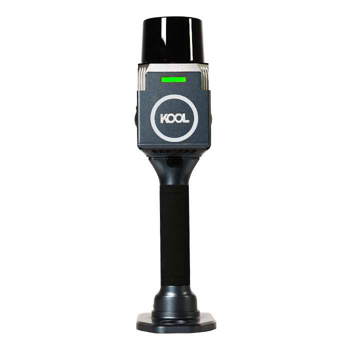
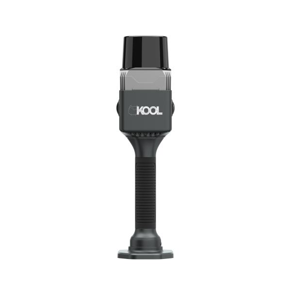
The KOOL is a highly efficient and cost-effective handheld 3D LiDAR scanner
Tell us how many units and where they ship. An engineer replies with price, lead time and freight within 24 hours.
Reply within 24 h · Original units · Local datum preset