
UniStrong
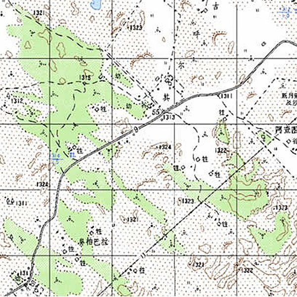
DRG Digital Raster Graphic
Digital Raster Graphic (DRG) is a digitized product of paper topographic maps. After scanning,…
Authorized distributor of original survey instruments·Dispatch in 3 to 7 working days·DDP / CIF / FOB
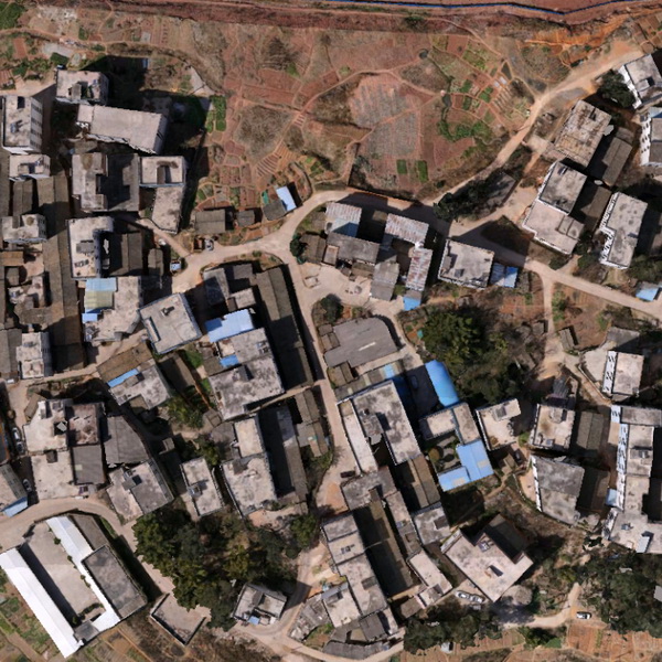
Digital Orthophoto Map (DOM) refers to image data generated by performing pixel-by-pixel rectification on scanned digital aerial/remote sensing photographs (monochrome/color) using digital elevation models, followed by image mosaicking and clipping according to map sheet boundaries. It is typically a planimetric map featuring kilometer grid lines,…
Original UniStrong unit·Authorized distributor
Digital Orthophoto Map (DOM) refers to image data generated by using a Digital Elevation Model (DEM) to perform pixel-by-pixel rectification on scanned and digitized aerial photographs or remote sensing images (monochrome/color), followed by image mosaicking and cropping according to map sheet boundaries. It is typically a planimetric map featuring kilometer grid lines, inner and outer map marginalia, and annotations.
For aerial photographs, a digital photogrammetry system can be used to reconstruct the aerial exposure attitude, establish stereo models, and inspect, edit, and generate DEMs within the system, thereby producing high-precision DOMs. For satellite imagery, existing DEM data can be utilized to generate DOMs through single-image digital differential rectification. Rich in information and visually intuitive, DOMs offer excellent interpretability and measurability. They can serve as background control information to evaluate the accuracy, currency, and completeness of other datasets, extract natural resource and socio-economic development information, and provide a reliable basis for disaster prevention and public infrastructure planning. Furthermore, new information can be extracted and derived to facilitate map revision and updating. In urban surveying and mapping, DOMs are widely applied in urban planning and design, transportation planning, urban green coverage surveys, urban built-up area development assessments, scenic area planning, urban development and ecological environment surveys, and sustainable development research, delivering significant social and economic benefits.
● Combines map geometric precision with photographic image characteristics, featuring high accuracy, abundant information, realistic visualization, and short production cycles. ● Features strong informativeness, timeliness, intuitiveness, continuity (continuous depiction across specific historical periods), temporality, and up-to-date currency. ● Serves as background control information to evaluate the accuracy, currency, and completeness of other geospatial data. ● Provides imagery with reliable geometric precision, complete and rich vegetation detail, clear and uniform overall color tones, and moderate contrast.
Values from the UniStrong datasheet. Ask us for the full sheet or a side by side with another model.
Digital Raster Graphic (DRG) is a digitized product of paper topographic maps. After scanning,…
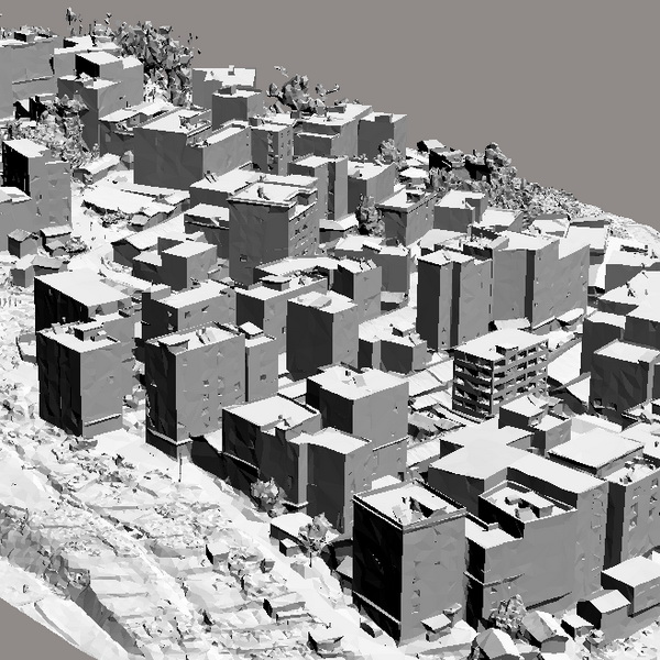
A Digital Elevation Model (DEM) is a dataset of regular grid points with plane…
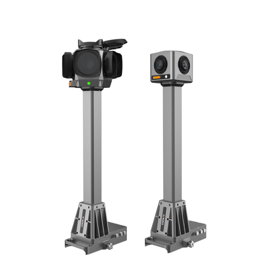
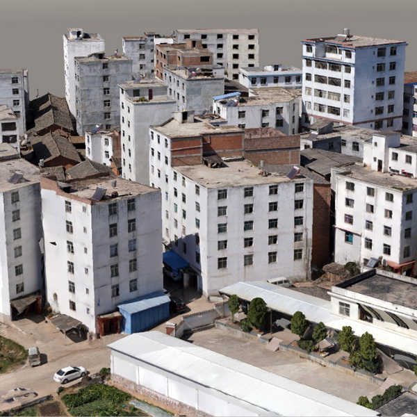
The 3D real-scene model is generated by capturing multi-directional real-scene photos of the target,…
Tell us how many units and where they ship. An engineer replies with price, lead time and freight within 24 hours.
Reply within 24 h · Original units · Local datum preset