
UniStrong
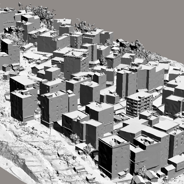
DSM / DEM Digital Surface Model and Digital Elevation Model
A Digital Elevation Model (DEM) is a dataset of regular grid points with plane…
Authorized distributor of original survey instruments·Dispatch in 3 to 7 working days·DDP / CIF / FOB
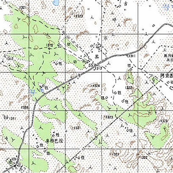
Digital Raster Graphic (DRG) is a digitized product of paper topographic maps. After scanning, rectification, map sheet processing, and data compression, each map produces a raster file that remains consistent with the original topographic map in content, geometric accuracy, and color.
Original UniStrong unit·Authorized distributor
A Digital Raster Graphic (DRG) is a digitized product of a paper topographic map. After scanning, rectification, map sheet processing, and data compression, each sheet forms a raster file that maintains consistency with the original topographic map in content, geometric accuracy, and color.
DRGs can serve as background layers for data reference, revision, and alignment of other geographic information. They are used for data acquisition, evaluation, and updating of Digital Line Graphs (DLGs), and can also be integrated with Digital Orthophoto Maps (DOMs), Digital Elevation Models (DEMs), and other data layers to derive new visual information for extracting and updating map data or compiling paper maps.
● Technical specifications of Digital Raster Graphics (DRGs): Geographic content and visual style remain identical to topographic maps of the corresponding scale; the horizontal reference system is based on the Xi'an 1980 Geodetic Coordinate System; ● Map projection uses the Gauss-Krüger projection; the elevation system adopts the 1985 National Height Datum; ● Image resolution: input greater than 400 dpi; output greater than 250 dpi.
Values from the UniStrong datasheet. Ask us for the full sheet or a side by side with another model.
A Digital Elevation Model (DEM) is a dataset of regular grid points with plane…
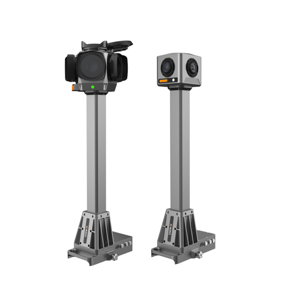
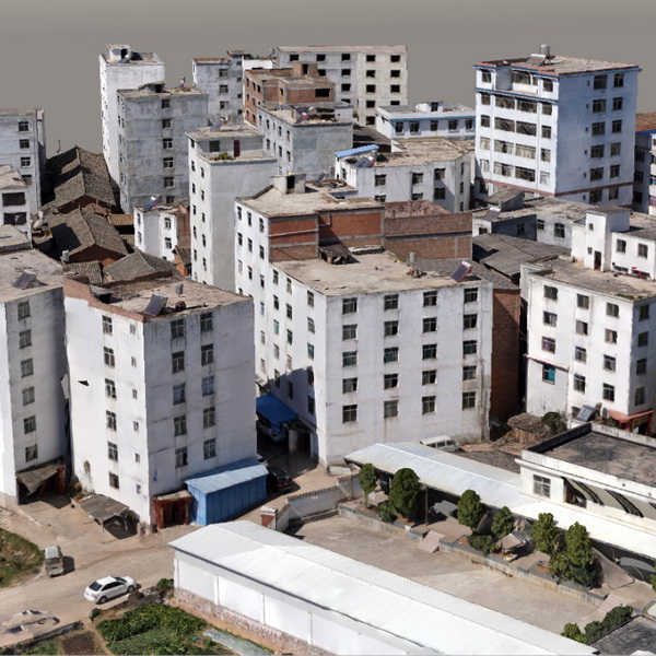
The 3D real-scene model is generated by capturing multi-directional real-scene photos of the target,…
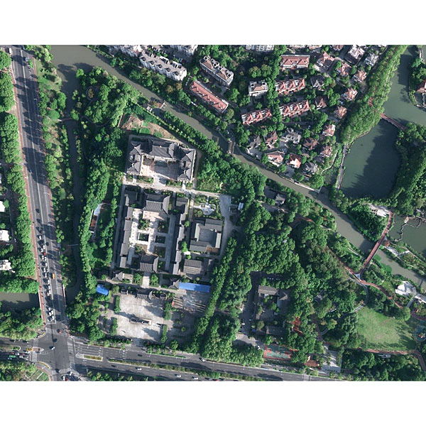
Jiangsu Jinwei Remote Sensing Data Engineering Co., Ltd. is a professional company engaged in…
Tell us how many units and where they ship. An engineer replies with price, lead time and freight within 24 hours.
Reply within 24 h · Original units · Local datum preset