
SOUTH

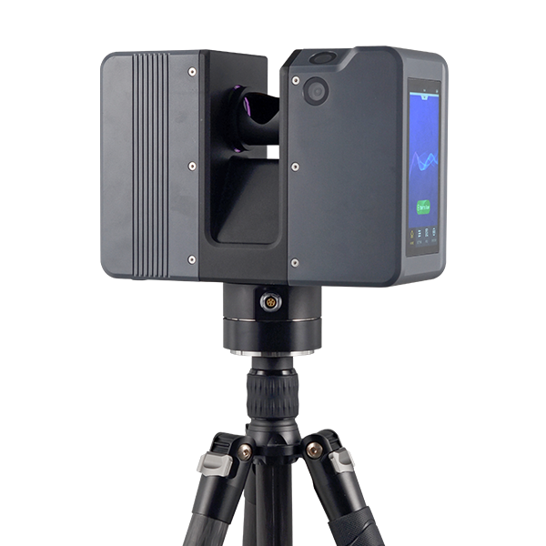
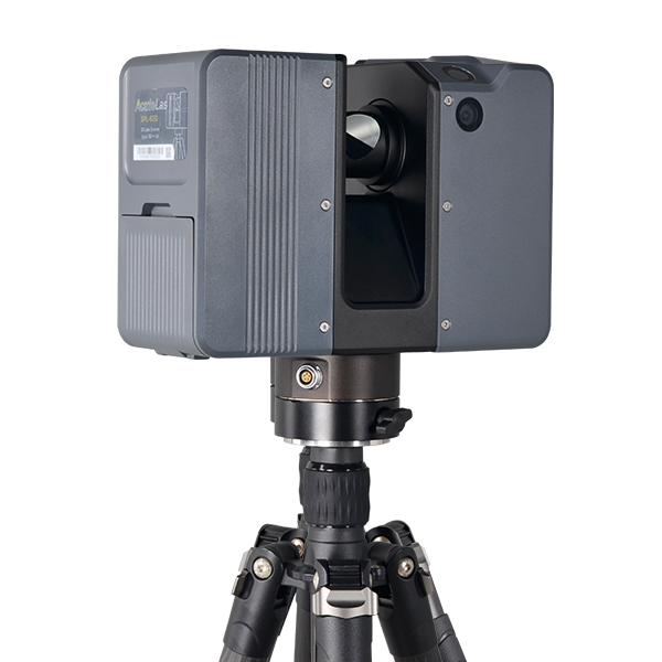
AcuteLas Series SPL-1500/SPL-620/SPL-370/SPL-180

Ask us for price, lead time and freight to your country.

Original SOUTH unit·Authorized distributor

  • Dispatch in 3 to 7 working daysShips in 3–7 days · DDP / CIF / FOB
  • DDP / CIF / FOB to most countries
  • Local coordinate system preset before shipping
  • Datasheet (PDF, 1.3 MB)
Specifications

Technical data

Values from the SOUTH datasheet. Ask us for the full sheet or a side by side with another model.

Download datasheet (PDF)

GENERAL

Model
SPL-1500 Pro/ SPL-620 Pro/ SPL-370 Pro/ SPL-180
Series
AcuteLas
Type
pulsed precise scan technology
Scan Range
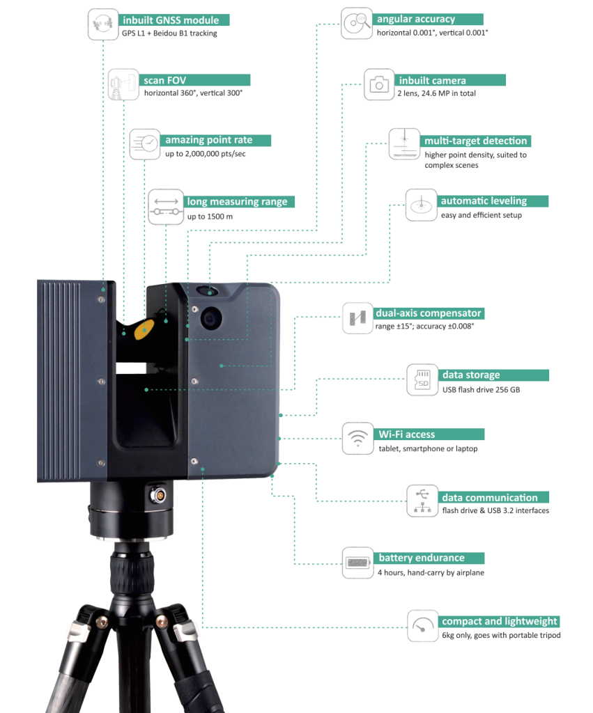
SPL-1500 Pro:0.6-1500m SPL-620 Pro:0.6-620m SPL-370 Pro:0.6-370m SPL-180:0.6-180m
Real-time On-siteRegistration
Available/Available/Available/N/A

TECHNICAL

Scan FOV
360° (H) x 300° (V)
Scan Rate
2,000,000 pts/sec max.
Relative Accuracy*
SPL-1500 Pro:3mm@100 m SPL-620 Pro:5mm @100 m SPL-370 Pro:5mm @100 m SPL-180:5mm @100 m
Angular Accuracy
0.001° (H/V)
Scan Speed
80 Hz max.
Step Size
0.018° (20,480 pts 3D-pixel on 360° H./V.)
Fieldwork Control
onboard touch screen or tablet remote via WLAN
Fieldwork Reference
approx.16 sec (scan only, fastest); 41 sec (scan + image, fastest

PHYSICAL

Dimension
247x107x202 mm
Weight
4.85 kg (without battery); 5.3 kg (with battery)
Color
purple grey, solid uncoated
LED Screen
5-inch touch display, 720x1280 dpi
Tripod Mount
Lightweight elevating camera tripod, 3-section, quick release
Inverse Mounting
yes, downward up to 0.505 m by elevating tripod

ONBOARD SENSORS

Laser Scanner Sensor
Class-1 eye-safe (in accordance withIEC 60825-1:2014)
Laser Wavelength
1550 nm, invisible
Laser Divergence Angle
0.5 mrad
Initial Beam Diameter
3.6 mm
Imaging Resolution
24.6 MP (12.3 MP x2) in total for one capture
Color Resolution
8 directions, 45° each, 196.8 MP (12.3 MP x8x2) in total for one round
Dual-axis Compensator
compensating range ±15°
Height Sensor
To calculate the relative heights bynbuilt barometer and record in scan files
Temperature Sensor
To record the internal temperature ofdevice realtime and keep it workingwithin the right range
Compass
to record the northing direction while scanningTo record the northing direction whilescanning
GNSS
Integrated GPS (L1) & Beidou (B1)
Camera
Inbuilt 2 nos. Forward side and upward 45°
Imaging Resolution
24.6 MP (12.3 MP x2) in total for one capture
Color Resolution
8 directions, 45° each, 196.8 MP(12.3 MPx8x2) in total for one round
Dual-axis Compensator
Compensating range ±15°

ELECTRICAL

Power Supply
Detachable battery unit (inside batterycompartment) or external power supply
Power Consumption
40 W while scanning, typical
Battery Unit
rechargeable Li-ion battery, 28.8V, 3400mAh, 98Wh
Battery Endurance
approx. 4 to 4.5 hours per unit

ENVIRONMENTAL

Working Temperature
-20℃ to +60℃
Storage Temperature
-35℃ to +70℃
Humidity Resistance
non-condensing
Ingress Protection
IP64 rating

INTERFACING

USB
3.0, inside battery compartment
WLAN
802.11 b/g/n on board
External Power Supply
18-24V DC, at bottom ring of the device

DATA MANAGEMENT

Storage
USB 3.0 flash drive, 256 GB (upgradeable)

SOFTWARE

Remote control(Mobile)
AcuteLas Mobile
Remote control(Tablet)
AcuteLas Onsite
Pre-process
AcuteLas Studio
SDK Option
Negotiable, based on project demand
Videos

See the AcuteLas at work

1:03

Product video

Product video · Official SOUTH video

Downloads

Datasheets and manuals

Free PDFs for the AcuteLas. Need a manual in another language? Ask us and we will send it.

  • AcuteLas datasheetEN · PDF · 1.3 MB EN Download
  • SPL-1500SPL-620SPL-370SPL-180 AcuteLas Series Sample DataEN · PDF · 156 KB EN Download
  • SPL-1500SPL-620SPL-370SPL-180 AcuteLas Series Videos and DocumentsEN · PDF · 142 KB EN Download
Related

Similar laser scanners and LiDAR

All laser scanners and LiDARView all
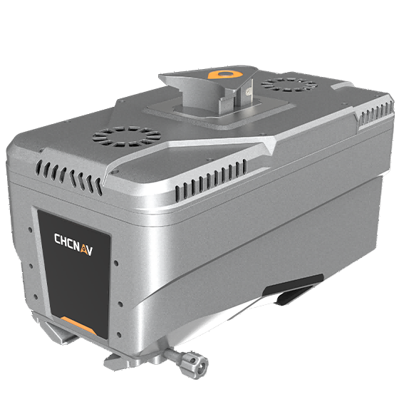
CHCNAV AlphaAir 10 Laser Scanner
CHCNAV

AlphaAir 10

Professional airborne LiDAR+RGB system designed to meet the demanding requirements of UAV LiDAR mapping…
Range
800 m
Scanning rate
500.000 pulses/sec
Field of view
75°
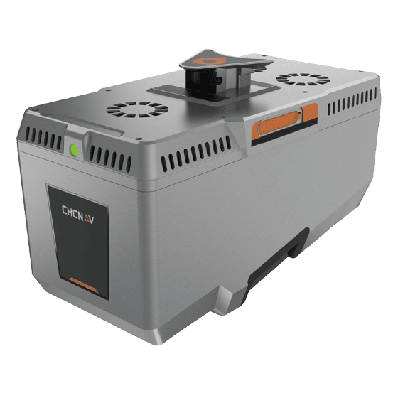
CHCNAV AlphaAir 15 Laser Scanner
CHCNAV

AlphaAir 15

Lightweight, high-performance airborne LiDAR system designed for large-scale operations where high-density data capture is…
Range
1800 m
Scanning rate
2.000.000 pulses/sec
Field of view
75°
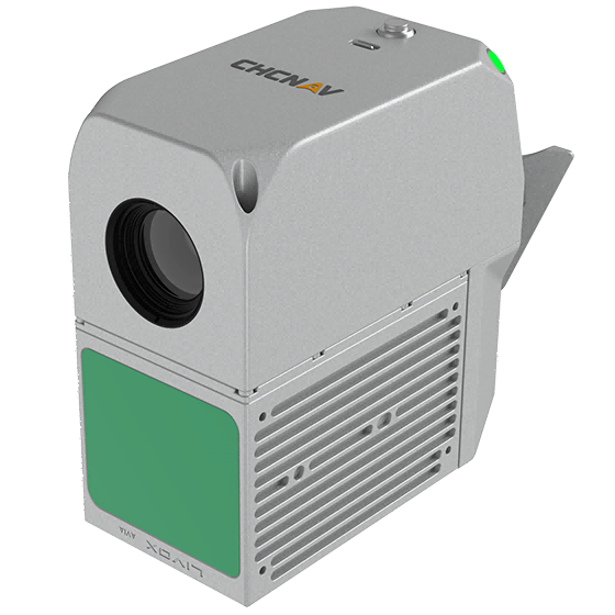
CHCNAV AlphaAir 15 Pro
CHCNAV

AlphaAir 15 Pro

Premium airborne LiDAR system for large-area geospatial data capture. With up to 3,200 m…
Scanning rate
2,400,000 pulses/sec
Field of view
75°
Returns
Up to 16
Get a quote

Get a quote for AcuteLas

Tell us how many units and where they ship. An engineer replies with price, lead time and freight within 24 hours.

  • Reply within 24 hours
  • Original units with serial numbers
  • Local coordinate system preset

Reply within 24 h · Original units · Local datum preset

We reply within 24 hours. No spam.