
Hi-Target
Hi-Survey Software
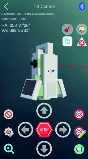
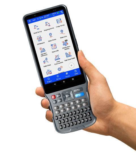
Hi-Survey Hi-Survey is an Android software that is designed for all types of land survey and road engineering projects in the field. It is compatible with Hi-Target professional controllers, Android phones, tablets, and other third-party Android devices.
Original Hi-Target unit·Authorized distributor
Overview
About the Hi-Survey Software
Hi-Survey Hi-Survey is an Android software that is designed for all types of land survey and road engineering projects in the field. It is compatible with Hi-Target professional controllers, Android phones, tablets, and other third-party Android devices. It is a sleek and easy-to-use software that supports the operating of big data with built-in tools. With customized industrial application solutions, more possibilities are created for users.
Overview
Hi-Survey Hi-Survey is an Android software that is designed for all types of land survey and road engineering projects in the field. It is compatible with Hi-Target professional controllers, Android phones, tablets, and other third-party Android devices. It is a sleek and easy-to-use software that supports the operating of big data with built-in tools. With customized industrial application solutions, more possibilities are created for users.
brxe-be12ba
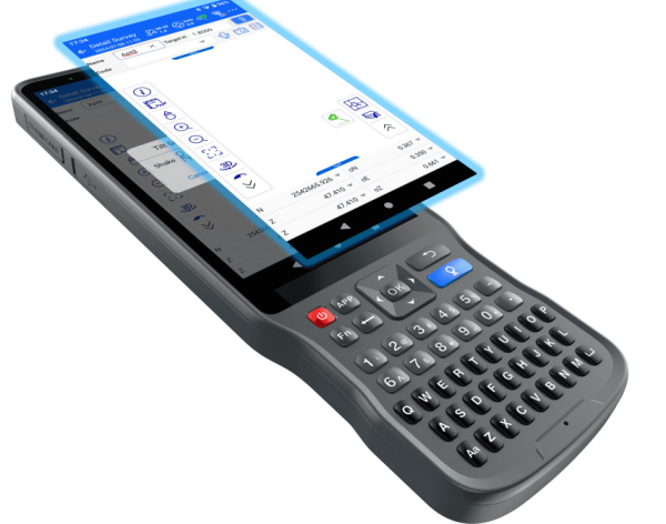
Initialize your efficient work An efficient measurement method. When it combined with a professional GNSS receiver and will make your measurement become simple.
brxe-5690f8
Quasi-dynamic survey function A measurement method independently developed by Hi-Target, surveying in some tough areas where there is strong multi-path interference, signal blocking like standing beside the big trees.
brxe-dsaymo
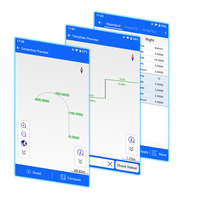
Road engineering survey Using for staking complex roads, combining road lines, and has three road algorithms (intersection, element, coordinate) support all kinds of roads, common line, and multi-type complex lines.
Download
Download Brochures All Language English Español Hi-Survey-Brochure-EN-20240813(s) Download Hi-Survey-Brochure-ES-20250813(s) Download
Downloads
Datasheets and manuals
Free PDFs for the Hi-Survey Software. Need a manual in another language? Ask us and we will send it.
- Hi-Survey Software datasheetEN · PDF · 4.1 MB EN Download
Related
All softwareView all
Similar software

UniStrong
JiZhiDiao Industry GIS Survey Software
Developed to meet the operational needs of various resource surveys and censuses, "JiZhiDiao" integrates…

UniStrong
Jizhitong General GIS Data Collection Software
Designed to meet the GIS spatial data collection needs of industries such as land…
Get a quote
Get a quote for Hi-Survey Software
Tell us how many units and where they ship. An engineer replies with price, lead time and freight within 24 hours.
- Reply within 24 hours
- Original units with serial numbers
- Local coordinate system preset
Reply within 24 h · Original units · Local datum preset