

UniStrong
Jizhitong General GIS Data Collection Software
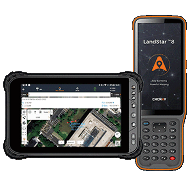
Designed to meet the GIS spatial data collection needs of industries such as land resources, forestry, electric power, agriculture, and transportation, this software is developed for mobile smart terminals by integrating technologies including BeiDou positioning, GIS geographic information, IoT, and mobile internet. The system features…
Original UniStrong unit·Authorized distributor
Overview
About the Jizhitong
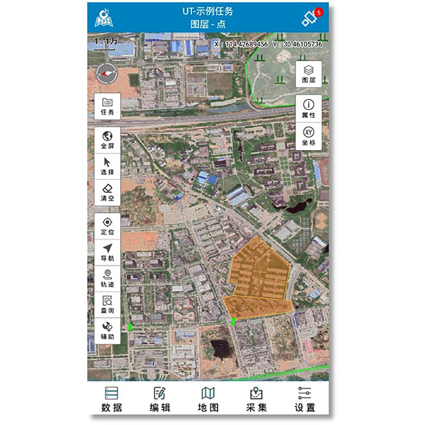
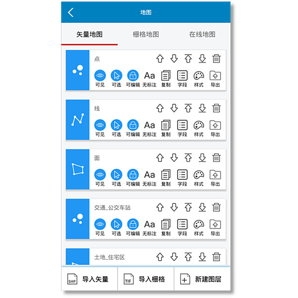
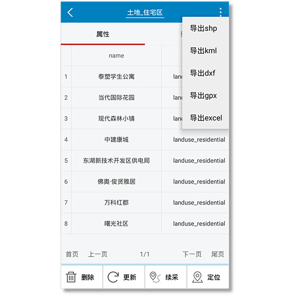
Designed to meet the GIS spatial data collection needs of industries such as land resources, forestry, electric power, agriculture, and transportation, this software is developed for mobile smart terminals by integrating technologies including BeiDou positioning, GIS geographic information, IoT, and mobile internet. The system features multi-source map composite browsing, multi-mode spatial data collection and editing, positioning and navigation tailored to various accuracy requirements, as well as multiple thematic map displays and map printing, providing users with an integrated mobile GIS collection solution. Designed to meet the spatial GIS data collection requirements of industries such as land resources, forestry, electric power, agriculture, and transportation, this software is developed for mobile smart terminals by integrating technologies including BeiDou positioning, GIS geographic information, the Internet of Things (IoT), and mobile internet. The software features multi-source map combination browsing, multi-mode spatial data collection and editing, positioning and navigation tailored to various accuracy requirements, as well as multiple thematic map displays and cartographic printing, providing users with an integrated mobile GIS data collection solution.
Related
All softwareView all
Similar software
UniStrong
MobileGIS Basic Data Collection Software
Developed to meet user demands for positioning and data collection on mobile smart terminals,…
UniStrong
MobileNavi Basic Navigation Software
Designed to meet user demands for outdoor handheld navigation on mobile handheld terminals, this…
UniStrong
Multi-Source Data Management and Service System V2.0
Based on the self-developed proprietary BeyonDB spatial database, the Multi-Source Data Management and Service…
Get a quote
Get a quote for Jizhitong
Tell us how many units and where they ship. An engineer replies with price, lead time and freight within 24 hours.
- Reply within 24 hours
- Original units with serial numbers
- Local coordinate system preset
Reply within 24 h · Original units · Local datum preset