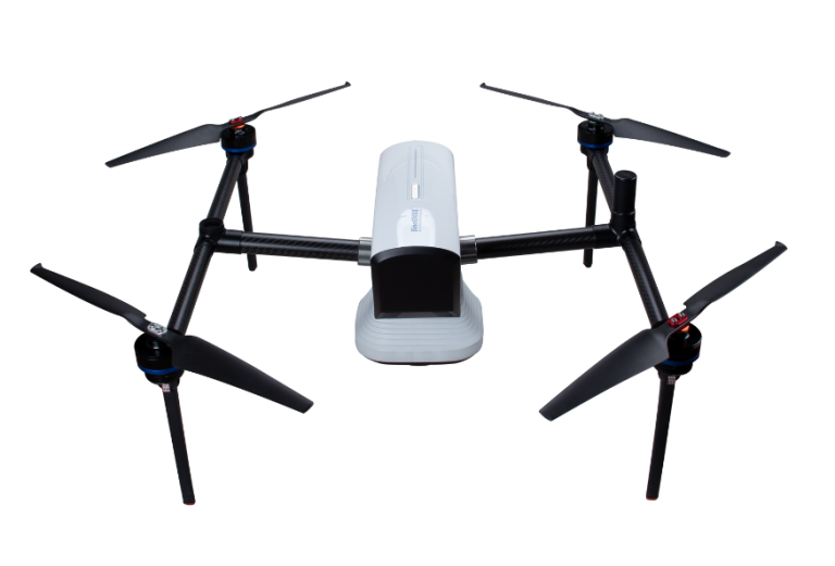
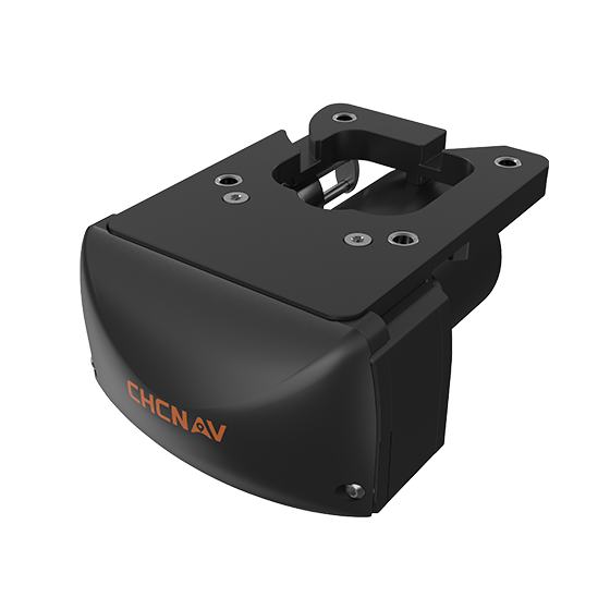
CHCNAV
Compact, dual-frequency multibeam echosounder built for hydrographic surveys. Designed for conditions where turbidity, depth…
- Range
- 0.2 to 200 m
- Accuracy
- < 10 mm resolution
- Weight
- 3.5 kg
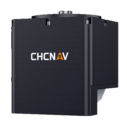
CHCNAV
Compact and powerful system designed for high-resolution bathymetric and hydrographic surveys. It integrates sonar,…
- Type
- Multibeam, 400 kHz
- Range
- 0.2 to 150 m
- Temperature
- Yes
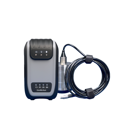
ComNav
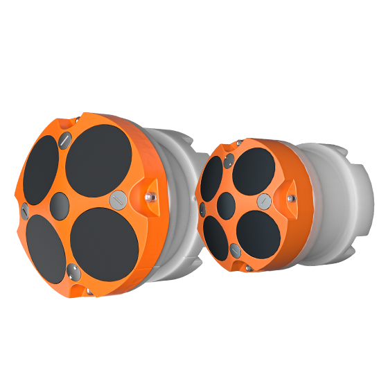
New-generation portable echo sounder developed by ComNav. Compact in design, it enables automatic depth…
- Frequency
- 600 kHz or 1200 kHz
- Transducer
- 5 beams
- Accuracy
- ±0.25% ±2 mm/s
CHCNAV
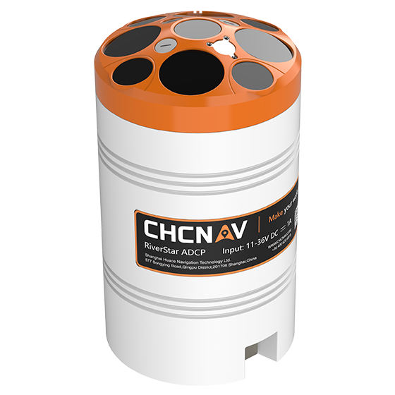
The RiverStar 3600D ADCP delivers high accuracy in shallow and deep water environments. Its…
- Frequency
- 1200 kHz & 3600 kHz
- Transducer
- 9 beams
- Accuracy
- ±0.25% ±2 mm/s
KOLIDA
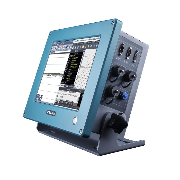
Dual Frequency Digital Echo Sounder Integrated with both computer and echo sounder at industrial…
ComNav
Unmanned Surface Vessel
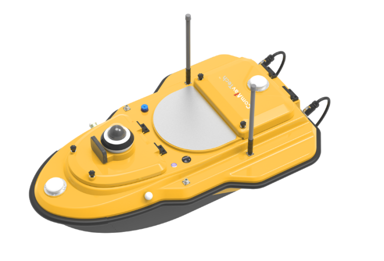
ComNav
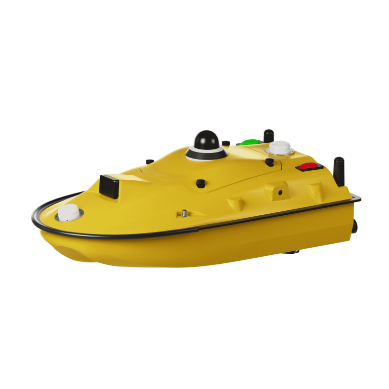
Advanced Unmanned Surface Vessel (USV) specifically engineered for hydrographic survey. Offering remote control capabilities,…
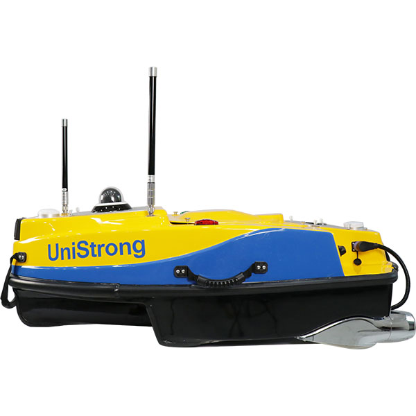
UniStrong
Smart Unmanned Surface Vessel
- Dimensions
- 1200mm×645mm×375mm
- Hull Weight
- 16kg
- Payload Capacity
- ≥15kg
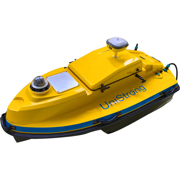
UniStrong
Unmanned Surface Vessel (USV)
- Hull
- Hull Weight / 46kg
- Power System
- Maximum Speed / ≥5m/s
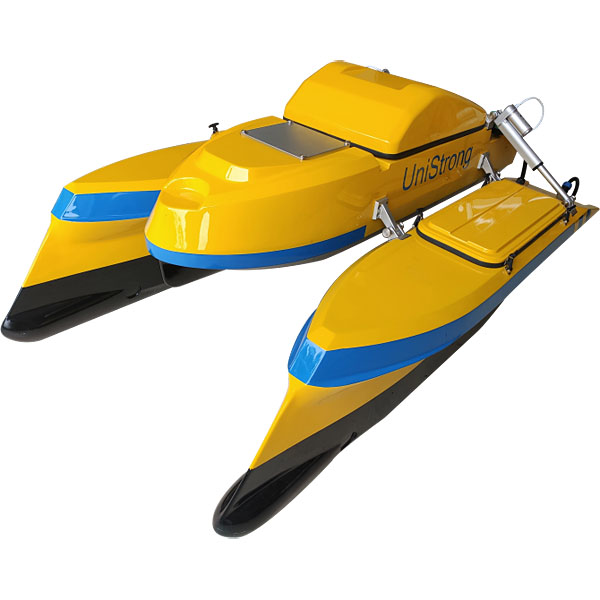
UniStrong
Unmanned Surface Vessel (USV)
- Hull
- Hull Weight / 45kg
- Hull
- Camera / 360° camera
- Hull
- Hull Type / Catamaran
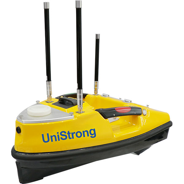
UniStrong
Compact yet highly capable small unmanned surface vessel (USV) platform. Its hull is constructed…
- Dimensions
- 750mm x 410mm x 230mm
- Hull Weight
- 5kg
- Max. Payload
- 8kg
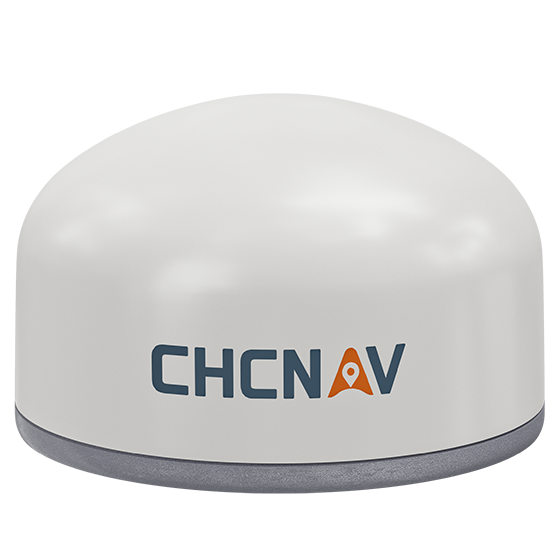
CHCNAV
Versatile intelligent GNSS receiver designed for monitoring critical infrastructure such as dams, bridges, and…
- GNSS
- Full GNSS
- IMU
- 3-axis MEMS
- Cellular
- 4G LTE
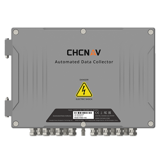
CHCNAV
16-channel automated data collector designed for long term, unattended monitoring. It supports a wide…
- Channels
- 16
- Memory
- 32 MB
- Wireless
- 4G
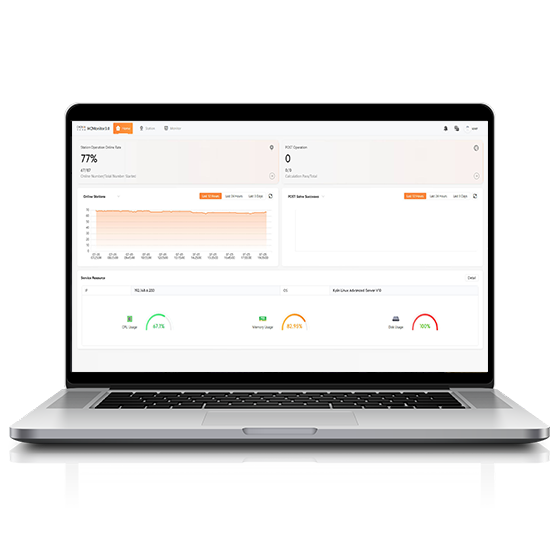
CHCNAV
Software platform designed to capture precise position data and track dynamic changes in real…
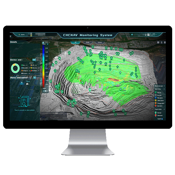
CHCNAV
Automated platform designed for real-time monitoring, data visualization, and alarm management. By integrating IoT,…
- Operating system
- Windows Server, MySQL
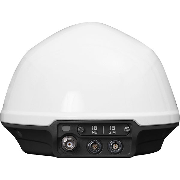
UniStrong
Dedicated, cost-effective GNSS monitoring receiver deeply developed for geological slope monitoring scenarios. It integrates…
- Item
- Sub-item / Description
- Data Interfaces
- 2-Pin / Power
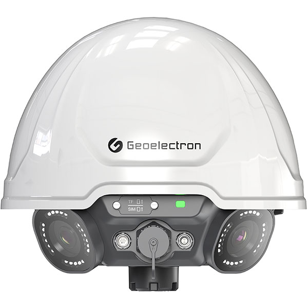
UniStrong
Panoramic GNSS Monitoring Receiver
- Channels
- ≥ 800 channels
- Signal Tracking
- GLONASS: G1, G2, G3
- LoRa
- Supported
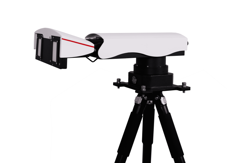
ComNav
Universal Slope Monitoring Radar
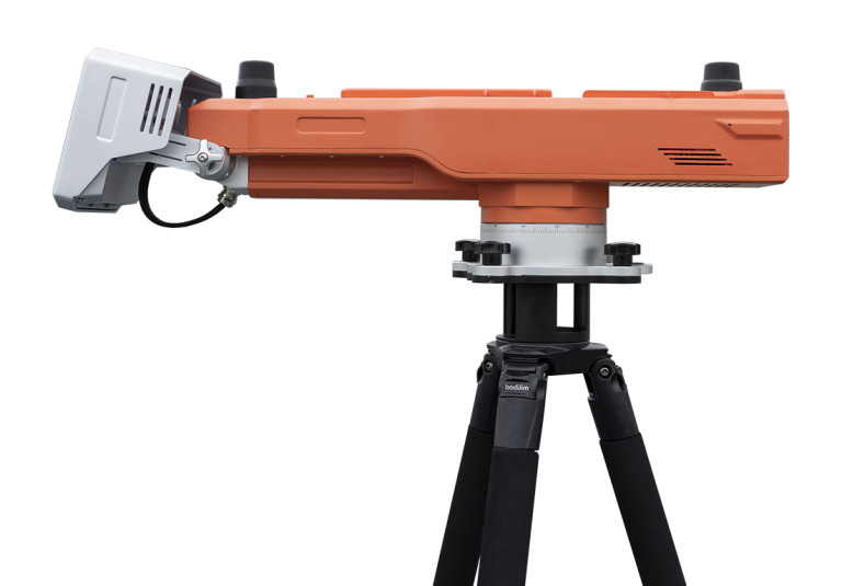
ComNav
Advanced slope stability monitoring radar developed by ComNav Technology Co., Ltd. This cutting-edge system…
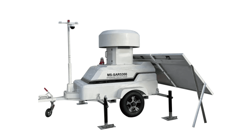
ComNav
Trailer-mounted radar monitoring station designed to adapt to dynamic monitoring needs in large open-pit…
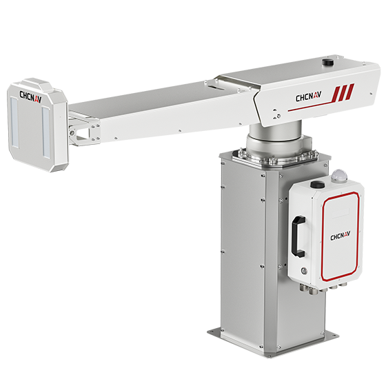
CHCNAV
The PS-2000 Multi-point Deformation Monitoring System is designed for high-precision slope stability monitoring. Utilizing…
- Range
- 30 - 5000 m
- Field of view
- 360°
- Update rate
- 360° in 120 s
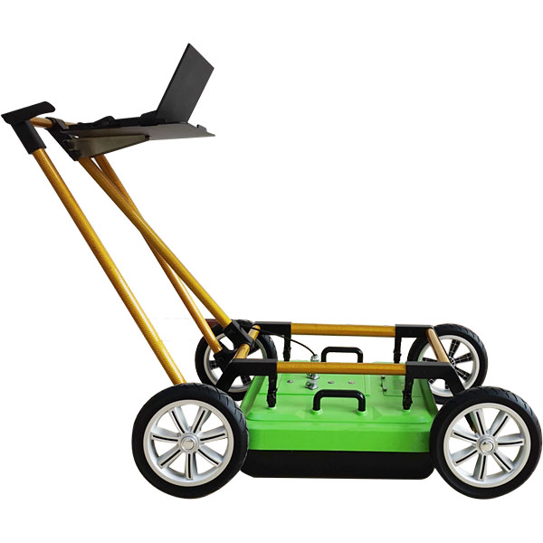
UniStrong
Pipeline Detection Radar
- Detection Depth
- 0 - 8 m
- Stacking
- 2 - 32,768 scans
- Operating Temperature
- -30°C to +70°C
