All products

Every model we ship in one catalog, from RTK receivers and total stations to scanners and echo sounders. Filter by product line or brand to narrow the list.

2318models
18product lines
9brands

Showing 25 to 48 of 155

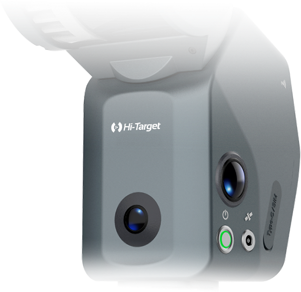
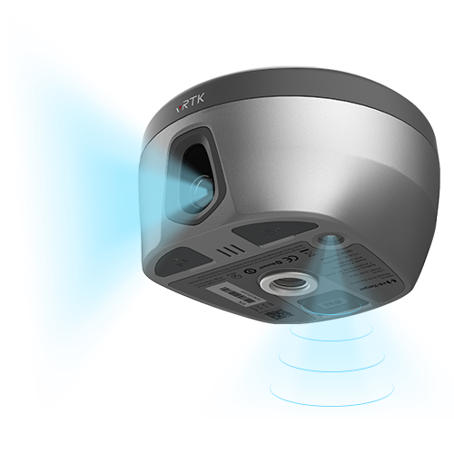
Hi-Target vRTK GNSS RTK System
Hi-Target

vRTK GNSS RTK System

vRTK GNSS RTK System Equipped with professional dual cameras, vRTK is Hi-Target’s first lightweight…
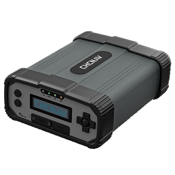
Tilt Survey Accuracy
8mm+0.7mm/°tilt
Channels
1408/1760
Image Survey Accuracy
2cm ~ 4cm
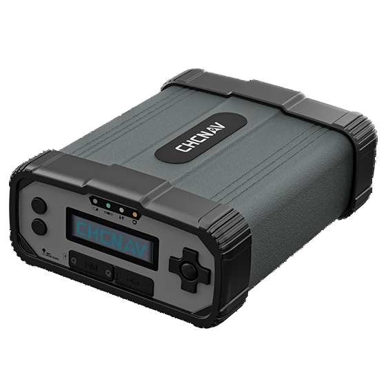
CHCNAV P5 GNSS Reference Receiver
CHCNAV

P5

GNSS Reference Receiver

GNSS
Full GNSS
Precision max.
0.8 cm H / 1.5 cm V
Wireless
Bluetooth, Wi-Fi
CHCNAV P5E GNSS Reference Receiver
CHCNAV

P5E

GNSS Reference Receiver

GNSS
Full GNSS + L-Band
Precision max.
0.8 cm H / 1.5 cm V
Wireless
Bluetooth, Wi-Fi
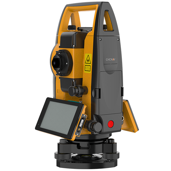
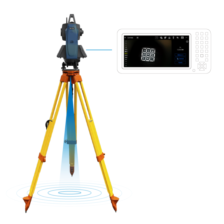
CHCNAV CTS-A100 Total Station
CHCNAV

CTS-A100

Reflectorless total station optimized for efficient fieldwork, featuring the Android OS and CHCNAV's LandStar…

Angular accuracy
2"
Range with prism
5000 m max.
Reflectorless range
1500 max.
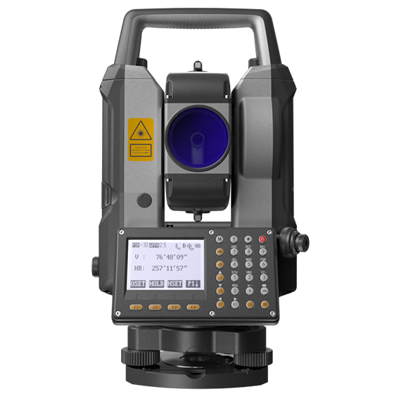
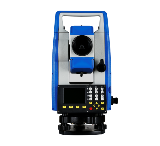
CHCNAV CTS-M100 Total Station
CHCNAV

CTS-M100

Total Station

Angular accuracy
2"
Range with prism
5000 m max.
Reflectorless range
1500 max.
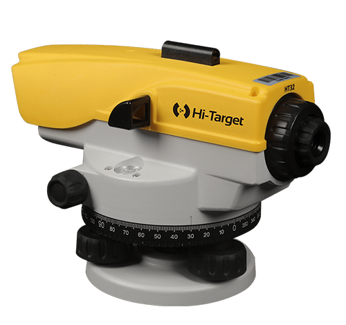
Hi-Target HTS-521L10 Optical Total Station
Hi-Target

HTS-521L10

Optical Total Station

Angle Accuracy
2”
Memory
80000 points
Work Temperature
-20°C~50°C
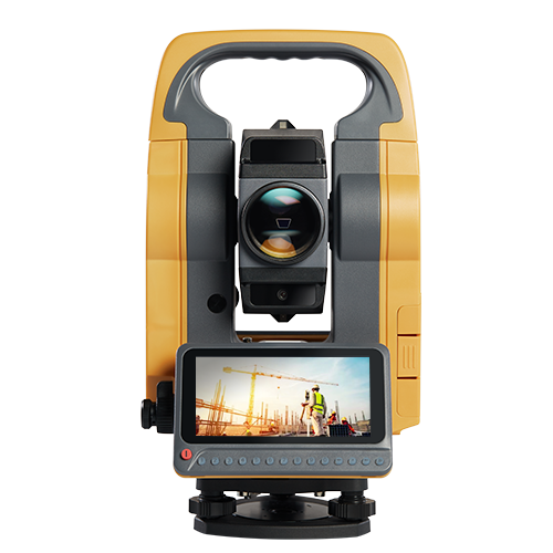
Hi-Target HTS-720 Android Total Station
Hi-Target

HTS-720

Android Total Station

Angle Accuracy
1″/2″ (Optional)
Memory
RAM:2GB ROM: 16GB
Work Temperature
-20°C~50°C
Stonex R3 Professional Total Station
Stonex

R3

Professional Total Station

Sub-item
Description
Image
Erect
Magnification
30×
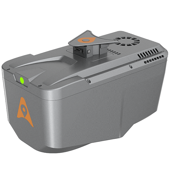
CHCNAV AlphaAir 10 Laser Scanner
CHCNAV

AlphaAir 10

Professional airborne LiDAR+RGB system designed to meet the demanding requirements of UAV LiDAR mapping…
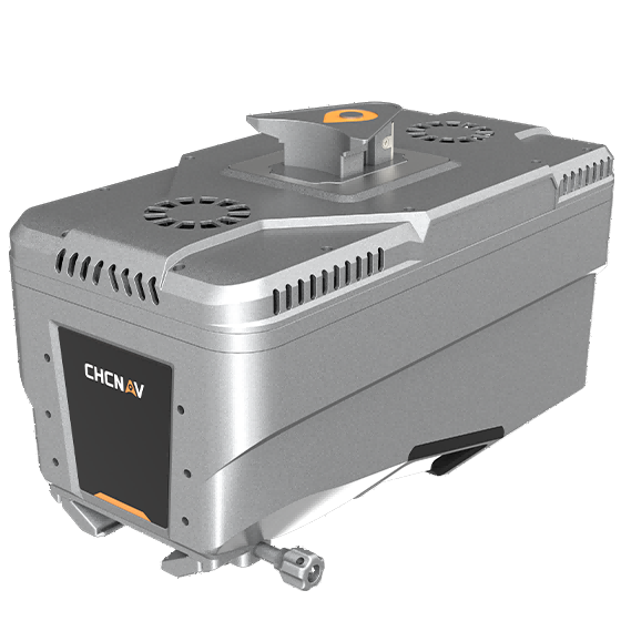
Range
800 m
Scanning rate
500.000 pulses/sec
Field of view
75°
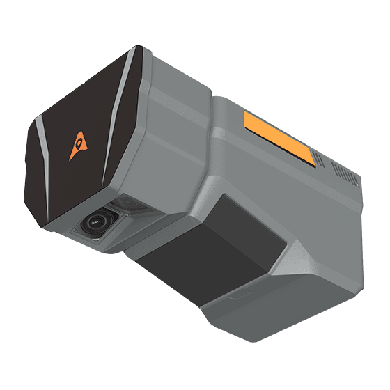
CHCNAV AlphaAir 15 Laser Scanner
CHCNAV

AlphaAir 15

Lightweight, high-performance airborne LiDAR system designed for large-scale operations where high-density data capture is…
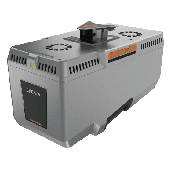
Range
1800 m
Scanning rate
2.000.000 pulses/sec
Field of view
75°
CHCNAV AlphaAir 15 Pro
CHCNAV

AlphaAir 15 Pro

Premium airborne LiDAR system for large-area geospatial data capture. With up to 3,200 m…
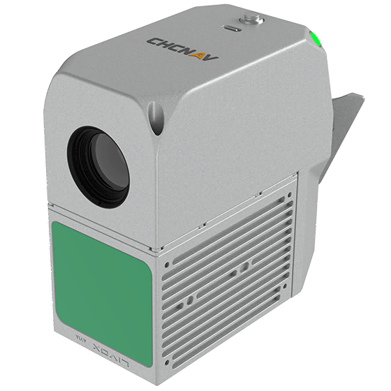
Scanning rate
2,400,000 pulses/sec
Field of view
75°
Returns
Up to 16
CHCNAV AlphaAir 6 Dual
CHCNAV

AlphaAir 6 Dual

The CHCNAV AlphaAir 6 Dual (AA6D) airborne LiDAR system is designed for aerial surveying…
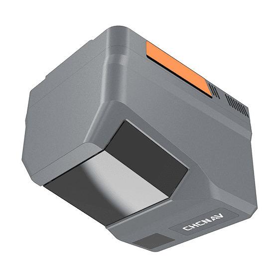
Range
2100m @80%, 960m @10%
FOV
90°
Returns
Up to 16
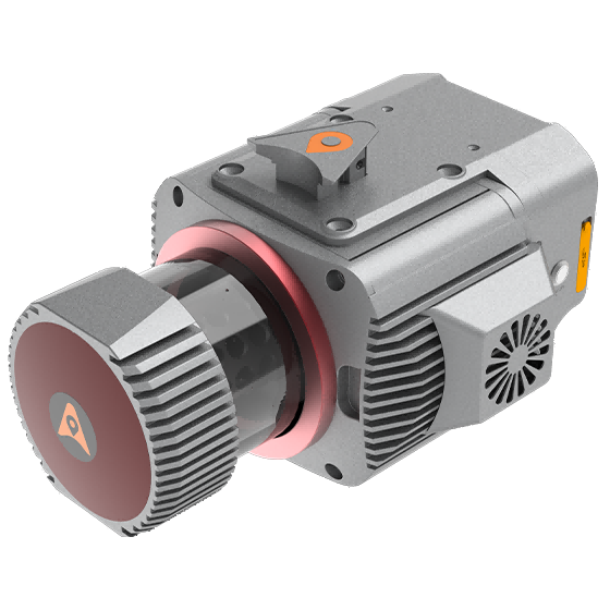
CHCNAV AlphaUni 1300 Laser Scanner
CHCNAV

AlphaUni 1300

Multi-platform LiDAR system that combines a high-precision long-range laser scanner with Riegl's Waveform LiDAR…
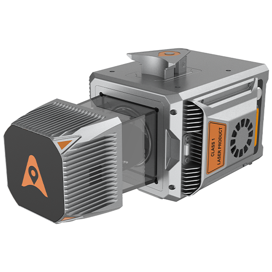
Range
1845 m
Scanning rate
1.500.000 pulses/sec
GNSS
Full GNSS
CHCNAV AlphaUni 20 Laser Scanner
CHCNAV

AlphaUni 20

Cost-effective, premium-class multi-platform mobile mapping system that embodies CHCNAV's advanced LiDAR technology. Designed for…
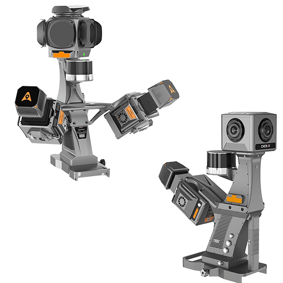
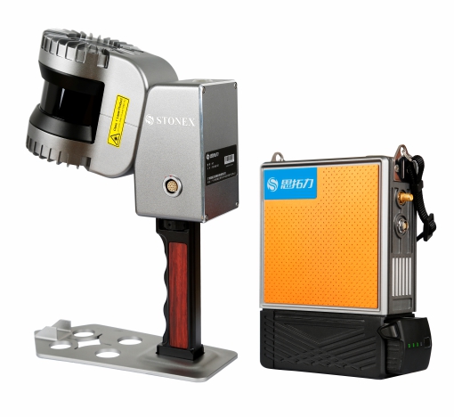
Range
1500 m
Scanning rate
2.000.000 pulses/sec
Field of view
360°
CHCNAV AU20 MMS Laser Scanner
CHCNAV

AU20

High-precision mobile mapping system designed for vehicle-mounted applications. Its advanced LiDAR and AI-powered algorithms…

Scanning rate
2.000.000 pulses/sec
FOV
360°
Returns
Up to 16
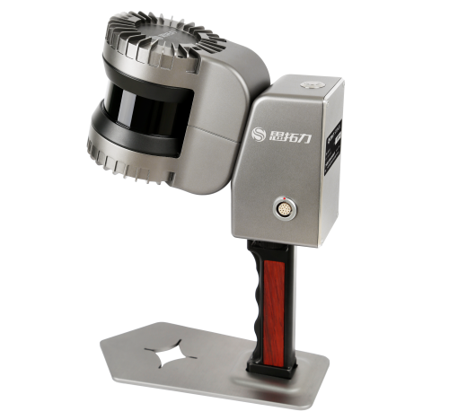
Stonex H7 SLAM Handheld 3D Laser Scanner
Stonex

H7

SLAM Handheld 3D Laser Scanner

Sub-item
Description
Max. Range
120m
Channels
32-line
Stonex H8 Handheld 3D Laser Scanner
Stonex

H8

Handheld 3D Laser Scanner

Sub-item
Description
Max Range
120m
Scan Rate
655,000 points/sec

Not sure which model fits your job?

Tell us the work, the accuracy you need and your budget. An engineer replies with two or three options and prices within 24 hours.