All products

Every model we ship in one catalog, from RTK receivers and total stations to scanners and echo sounders. Filter by product line or brand to narrow the list.

2318models
18product lines
9brands

Showing 49 to 72 of 183

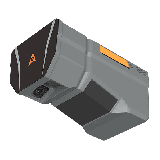
CHCNAV AlphaAir 15 Pro
CHCNAV

AlphaAir 15 Pro

Premium airborne LiDAR system for large-area geospatial data capture. With up to 3,200 m…
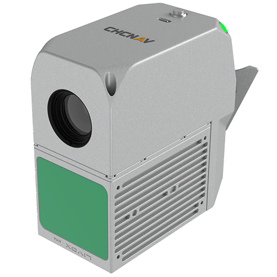
Scanning rate
2,400,000 pulses/sec
Field of view
75°
Returns
Up to 16
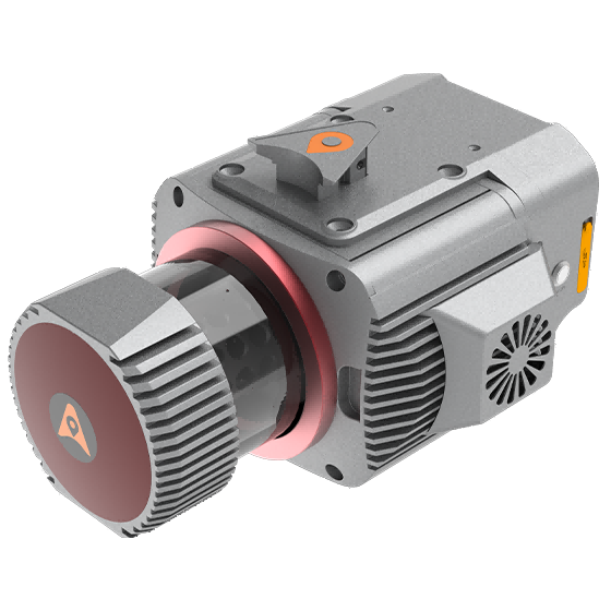
CHCNAV AlphaAir 6 Dual
CHCNAV

AlphaAir 6 Dual

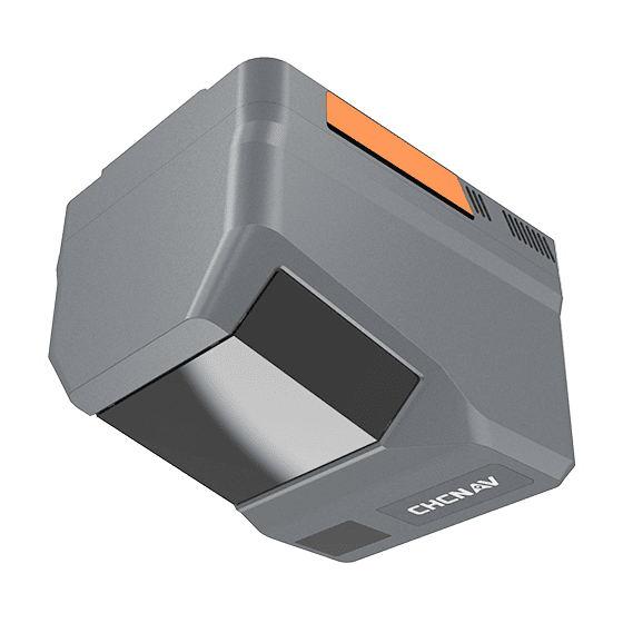
The CHCNAV AlphaAir 6 Dual (AA6D) airborne LiDAR system is designed for aerial surveying…
Range
2100m @80%, 960m @10%
FOV
90°
Returns
Up to 16
CHCNAV AlphaUni 1300 Laser Scanner
CHCNAV

AlphaUni 1300

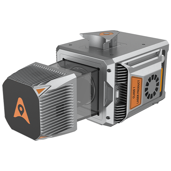
Multi-platform LiDAR system that combines a high-precision long-range laser scanner with Riegl's Waveform LiDAR…
Range
1845 m
Scanning rate
1.500.000 pulses/sec
GNSS
Full GNSS
CHCNAV AlphaUni 20 Laser Scanner
CHCNAV

AlphaUni 20

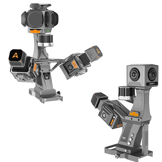
Cost-effective, premium-class multi-platform mobile mapping system that embodies CHCNAV's advanced LiDAR technology. Designed for…
Range
1500 m
Scanning rate
2.000.000 pulses/sec
Field of view
360°
CHCNAV AU20 MMS Laser Scanner
CHCNAV

AU20

High-precision mobile mapping system designed for vehicle-mounted applications. Its advanced LiDAR and AI-powered algorithms…

Scanning rate
2.000.000 pulses/sec
FOV
360°
Returns
Up to 16
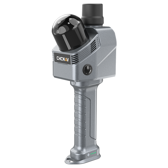
CHCNAV RS10 Laser Scanner
CHCNAV

RS10

Handheld SLAM 3D laser scanner that integrates GNSS RTK, laser scanning, and visual SLAM…

Channels
16 or 32
Range
120 or 300 m
GNSS
Full GNSS
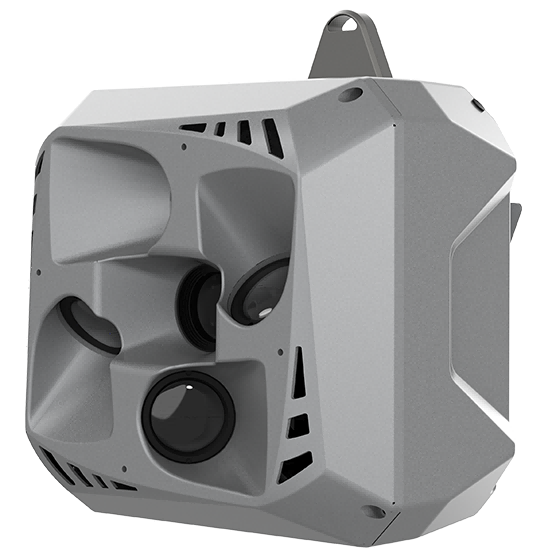
CHCNAV C30
CHCNAV

C30

Professional, high performance aerial oblique camera system featuring a lightweight design and exceptional image…

Resolution
26 MP x 5
Focal length
25 mm / 35 mm
Camera lenses
5
CHCNAV C4800
CHCNAV

C4800

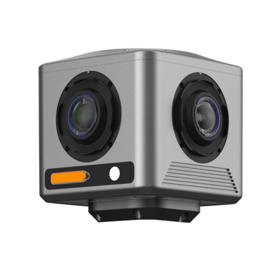
Compact industrial 360° camera optimized for flexible deployment, efficient integration, and professional mobile mapping…

Focal length
4.8 mm
Camera lenses
4
Capture interval
0.2 s minimum
CHCNAV C5
CHCNAV

C5

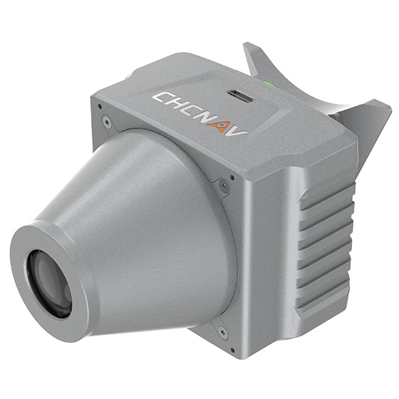
Aerial orthographic camera system that delivers superior image quality for photogrammetric applications and LiDAR…

Resolution
45 MP
Focal length
35 mm
Camera lenses
1
CHCNAV C7200
CHCNAV

C7200

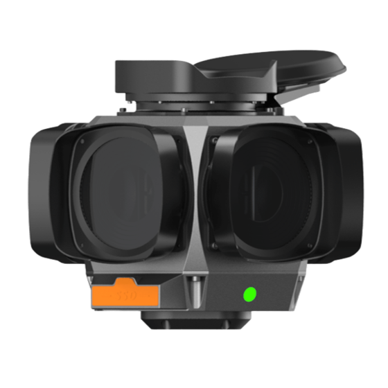
The CHCNAV C7200 is high-resolution industrial 360° camera for applications requiring maximum image detail,…

Focal length
6.5 mm
Camera lenses
6
Capture interval
0.1 s minimum
CHCNAV MP7
CHCNAV

MP7

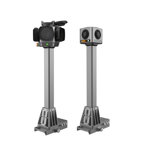
Integrated mobile panoramic mapping system combining 360° imaging with high-precision positioning and orientation. Compatible…

Camera lenses
4 (C4800) | 6 (C7200)
Dimensions (C4800)
268 × 184 × 572 mm
Dimensions (C7200)
291 × 264 × 651 mm
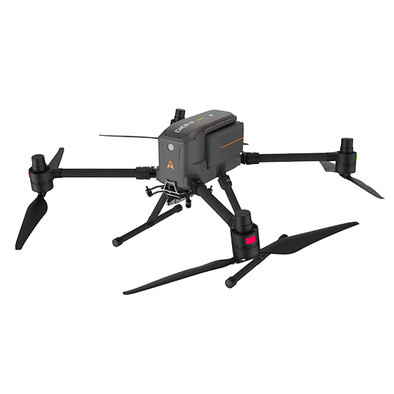
CHCNAV X500
CHCNAV

X500

Professional drone engineered for exceptional payload capacity and endurance. Equipped with advanced flight controls…

Payload capacity
5 kg max.
Type
Quadcopter
Camera
Yes
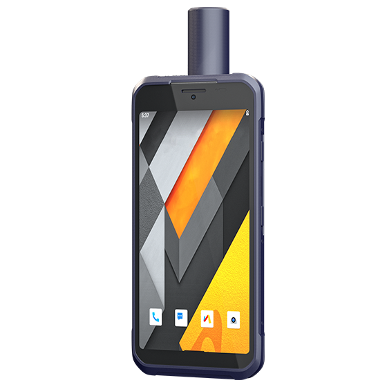
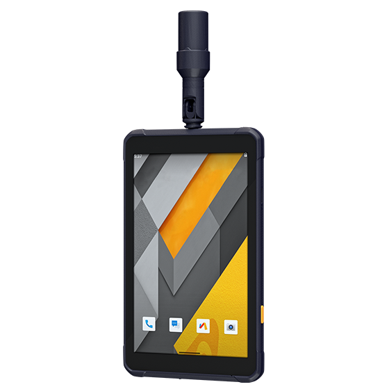
CHCNAV HCE600 Data Controller
CHCNAV

HCE600

Lightweight, professional Android data collector designed for field surveying and mapping. With a 5.5-inch…

Screen size
5.5" touchscreen
Screen resolution
1440 x 720
Precision max.
2-5 m H
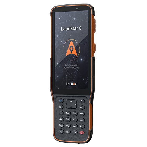
CHCNAV LT60H Data Controller
CHCNAV

LT60H

Data Controller

Screen size
6.3" touchscreen
Screen resolution
2340 x 1080
GNSS
Full GNSS
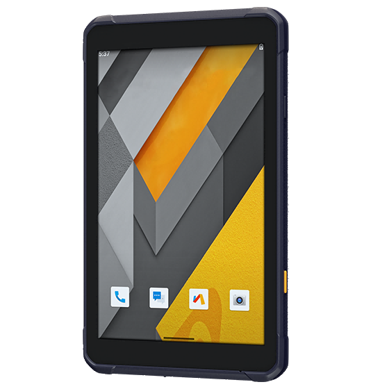
CHCNAV LT800 Data Controller
CHCNAV

LT800

Data Controller

Screen size
8.1" touchscreen
Screen resolution
1920 x 1200
Precision max.
2-5 m H
CHCNAV LT800H Data Controller
CHCNAV

LT800H

Data Controller

Screen size
8.1" touchscreen
Screen resolution
1920 x 1200
GNSS
Full GNSS
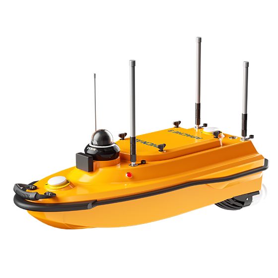
CHCNAV APACHE 3
CHCNAV

APACHE 3

Portable, shallow-draft marine drone equipped with a single-beam echo sounder for bathymetric surveys of…

Speed max.
6 m/s
Payload capacity
35 kg max
Draft
10 cm
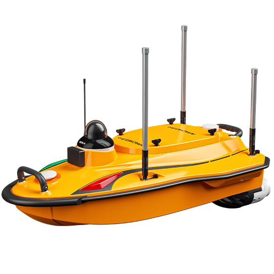
CHCNAV APACHE 3 PRO
CHCNAV

APACHE 3

Compact unmanned surface vehicle (USV) for autonomous bathymetric surveys in shallow water environments such…

Speed max.
7 m/s max
Payload capacity
35 kg max
Draft
10 cm
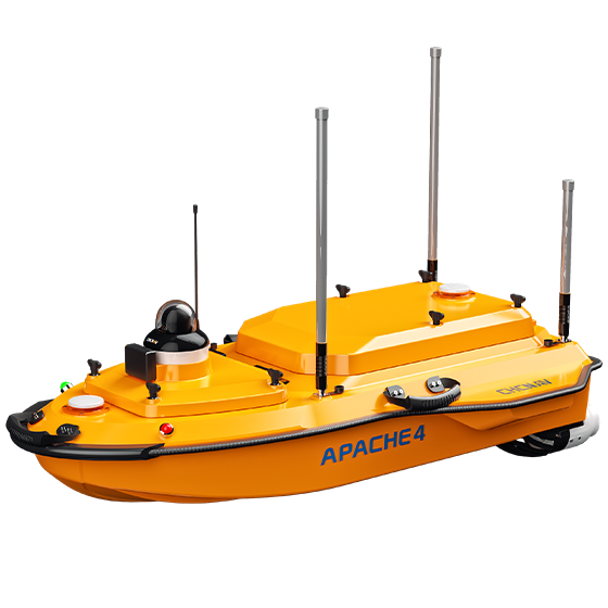
CHCNAV APACHE 4
CHCNAV

APACHE 4

The APACHE 4 USV is optimized for hydrological studies, supporting a range of ADCP…

Speed max.
6.5 m/s max
Payload capacity
40 kg max
Draft
8.6 cm
CHCNAV APACHE 4 PRO
CHCNAV

APACHE 4

Versatile Unmanned Surface Vessel (USV) designed to support a wide range of hydrological survey…

Speed max.
6.5 m/s
Payload capacity
50 kg max
Draft
8.6 cm
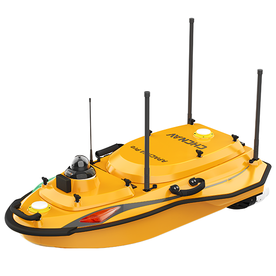
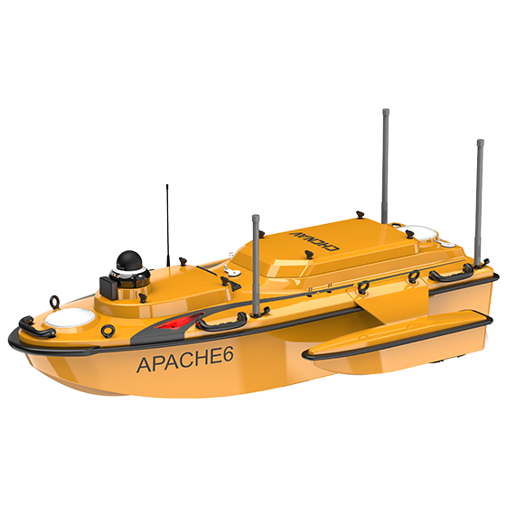
CHCNAV APACHE 6
CHCNAV

APACHE 6

Autonomous USV optimized for high-resolution 3D bathymetric surveys, underwater object localization, and offshore construction.…

Speed max.
6 m/s max
Payload capacity
Up to 60 kg
Draft
7.5 cm

Not sure which model fits your job?

Tell us the work, the accuracy you need and your budget. An engineer replies with two or three options and prices within 24 hours.