CHCNAV
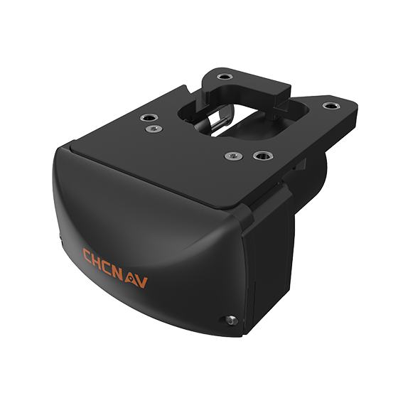
Compact, dual-frequency multibeam echosounder built for hydrographic surveys. Designed for conditions where turbidity, depth…
- Range
- 0.2 to 200 m
- Accuracy
- < 10 mm resolution
- Weight
- 3.5 kg
CHCNAV
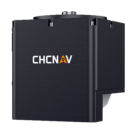
Compact and powerful system designed for high-resolution bathymetric and hydrographic surveys. It integrates sonar,…
- Type
- Multibeam, 400 kHz
- Range
- 0.2 to 150 m
- Temperature
- Yes
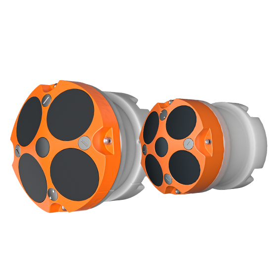
- Frequency
- 600 kHz or 1200 kHz
- Transducer
- 5 beams
- Accuracy
- ±0.25% ±2 mm/s
CHCNAV
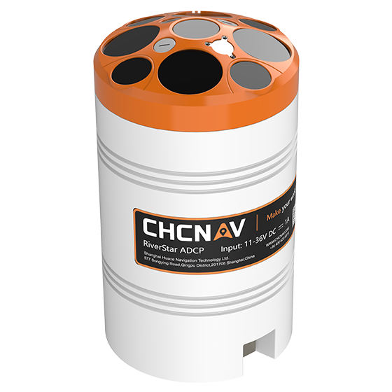
The RiverStar 3600D ADCP delivers high accuracy in shallow and deep water environments. Its…
- Frequency
- 1200 kHz & 3600 kHz
- Transducer
- 9 beams
- Accuracy
- ±0.25% ±2 mm/s
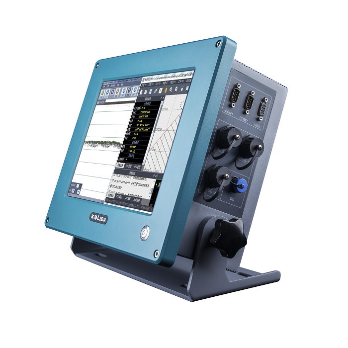
KOLIDA
Dual Frequency Digital Echo Sounder Integrated with both computer and echo sounder at industrial…
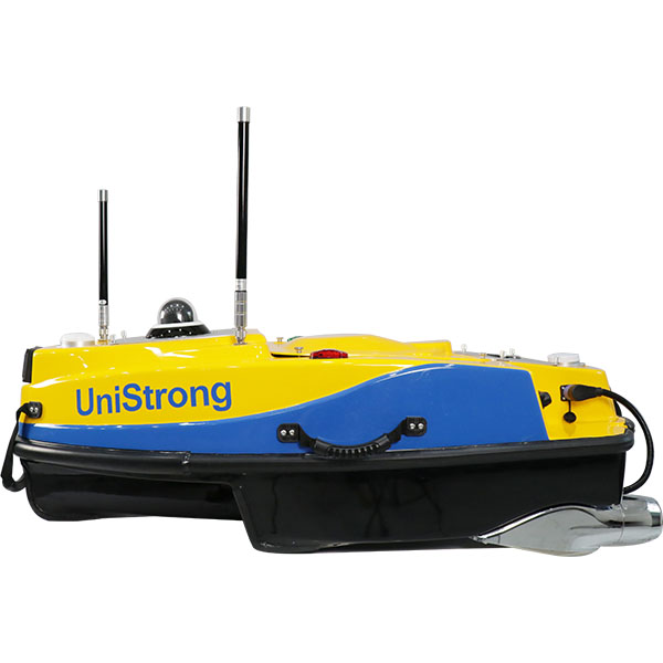
UniStrong
Smart Unmanned Surface Vessel
- Dimensions
- 1200mm×645mm×375mm
- Hull Weight
- 16kg
- Payload Capacity
- ≥15kg
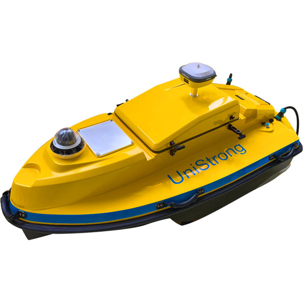
UniStrong
Unmanned Surface Vessel (USV)
- Hull
- Hull Weight / 46kg
- Power System
- Maximum Speed / ≥5m/s
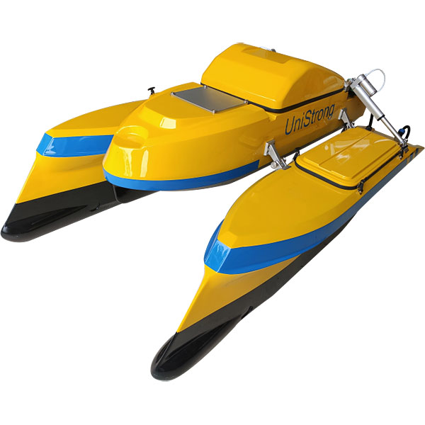
UniStrong
Unmanned Surface Vessel (USV)
- Hull
- Hull Weight / 45kg
- Hull
- Camera / 360° camera
- Hull
- Hull Type / Catamaran
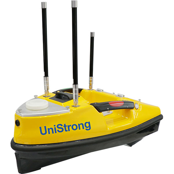
UniStrong
Compact yet highly capable small unmanned surface vessel (USV) platform. Its hull is constructed…
- Dimensions
- 750mm x 410mm x 230mm
- Hull Weight
- 5kg
- Max. Payload
- 8kg
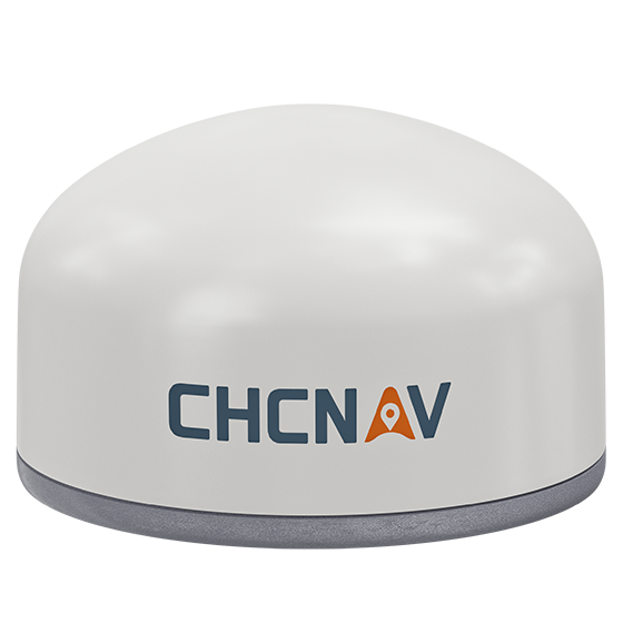
CHCNAV
Versatile intelligent GNSS receiver designed for monitoring critical infrastructure such as dams, bridges, and…
- GNSS
- Full GNSS
- IMU
- 3-axis MEMS
- Cellular
- 4G LTE
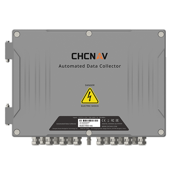
CHCNAV
16-channel automated data collector designed for long term, unattended monitoring. It supports a wide…
- Channels
- 16
- Memory
- 32 MB
- Wireless
- 4G
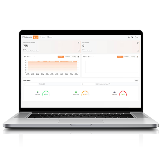
CHCNAV
Software platform designed to capture precise position data and track dynamic changes in real…
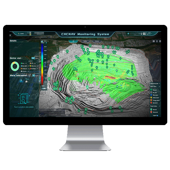
CHCNAV
Automated platform designed for real-time monitoring, data visualization, and alarm management. By integrating IoT,…
- Operating system
- Windows Server, MySQL
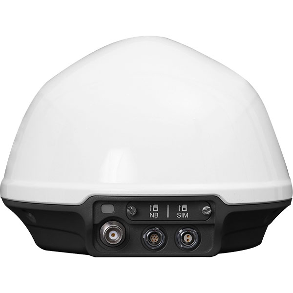
UniStrong
Dedicated, cost-effective GNSS monitoring receiver deeply developed for geological slope monitoring scenarios. It integrates…
- Item
- Sub-item / Description
- Data Interfaces
- 2-Pin / Power
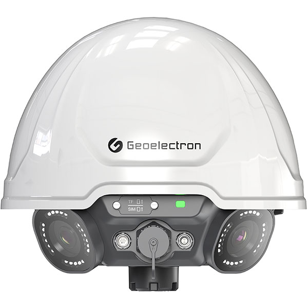
UniStrong
Panoramic GNSS Monitoring Receiver
- Channels
- ≥ 800 channels
- Signal Tracking
- GLONASS: G1, G2, G3
- LoRa
- Supported
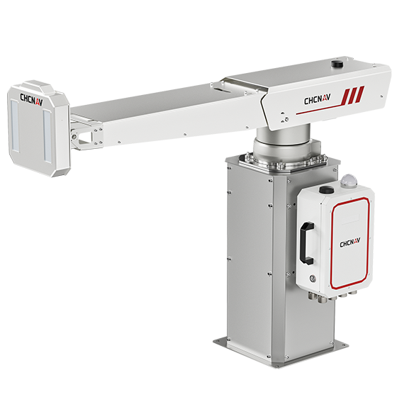
CHCNAV
The PS-2000 Multi-point Deformation Monitoring System is designed for high-precision slope stability monitoring. Utilizing…
- Range
- 30 - 5000 m
- Field of view
- 360°
- Update rate
- 360° in 120 s
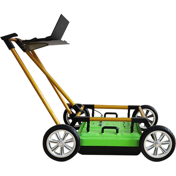
UniStrong
Pipeline Detection Radar
- Detection Depth
- 0 - 8 m
- Stacking
- 2 - 32,768 scans
- Operating Temperature
- -30°C to +70°C
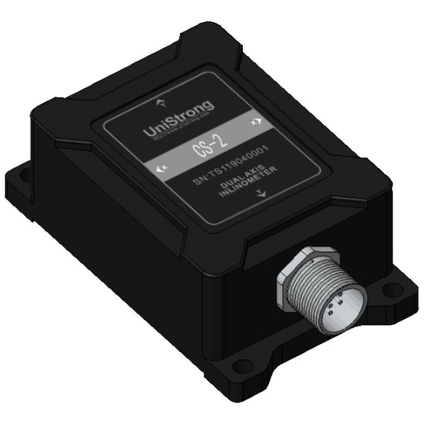
UniStrong
Compaction Sensor
- Parameter
- CS-2 / Unit
- Measuring Range
- ±10 / g
- Measurement Axes
- X, Y, Z / Axis
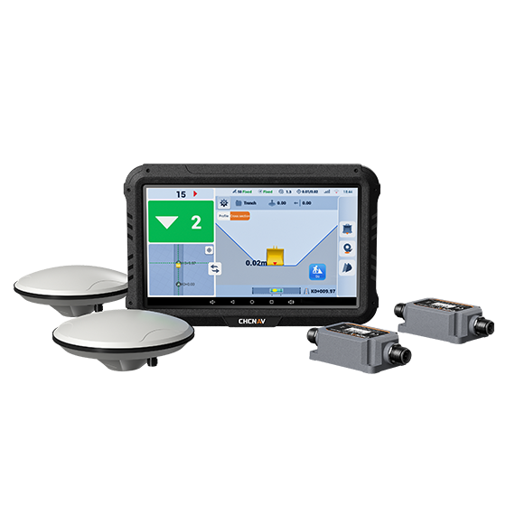
CHCNAV
The EasyNAV EMG100 2.5D Excavator System is a precise and user-friendly solution designed for…
- GNSS
- Full GNSS
- Precision max.
- ±3 cm
- Display
- 10.1", Android, IP65
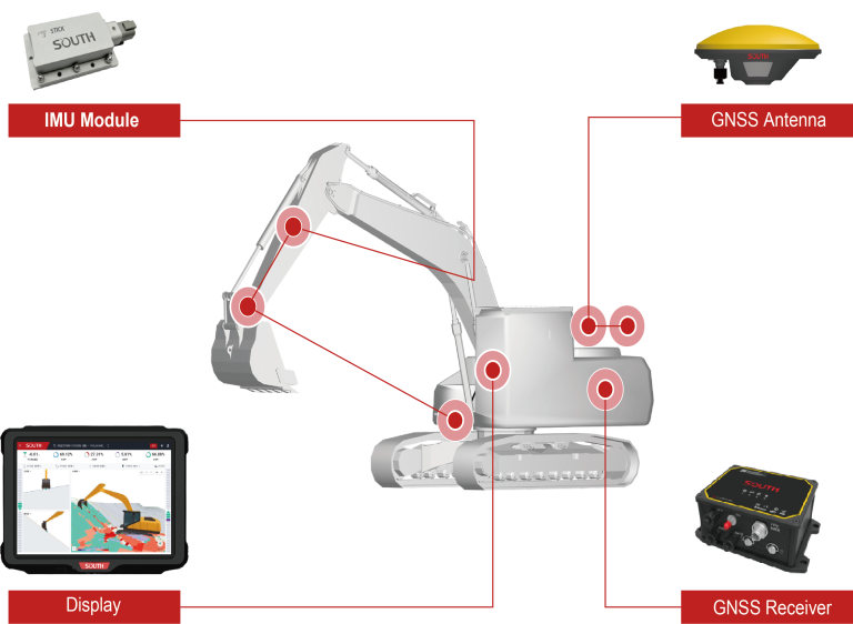
KOLIDA
The EGS01 uses GNSS and IMU sensors to deliver real-time 3D guidance for precise…
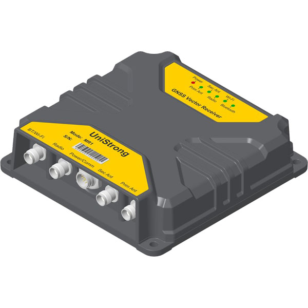
UniStrong
High-Precision Positioning and Heading Receiver
- GNSS Antenna Interface
- TNC x 2
- Update Rate
- 20 Hz
- Operating Temperature
- -40°C to +70°C
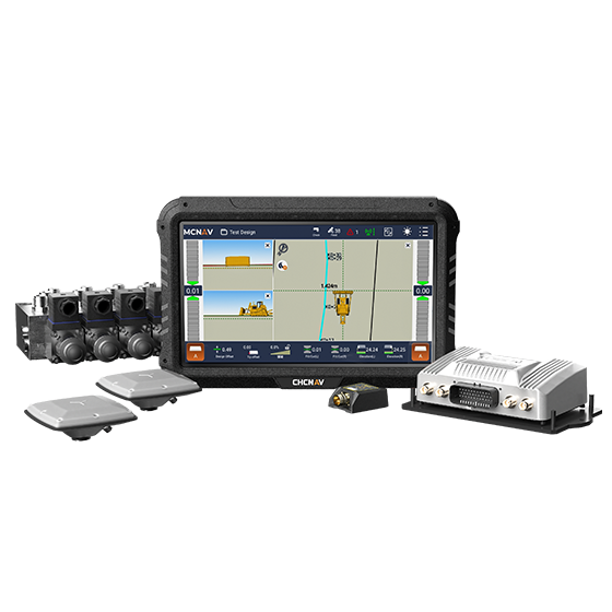
CHCNAV
The TD63 PRO automatic 3D control system for dozers enhances the quality and efficiency…
- GNSS
- Full GNSS
- Precision max.
- 1 cm H / 1.5 cm V
- Display
- 10.1", Android, IP65
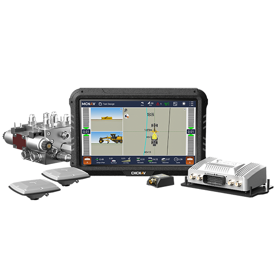
CHCNAV
3D grade control system for graders that delivers automatic grader machine control on construction…
- GNSS
- Full GNSS
- Precision max.
- 1 cm H / 1.5 cm V
- Display
- 10.1", Android, IP65
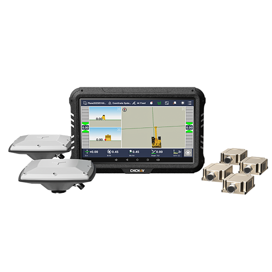
CHCNAV
3D guidance system designed to enhance the efficiency of excavation work. Utilizing dual-GNSS modules,…
