UniStrong
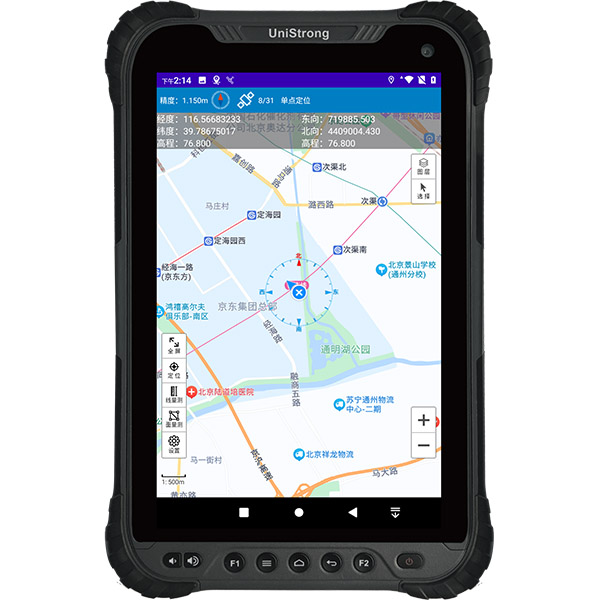
Rugged BeiDou Smart Terminal
- Operating System
- Android 10.0
- Processor
- Octa-core 2.0 GHz
- RAM
- 6GB
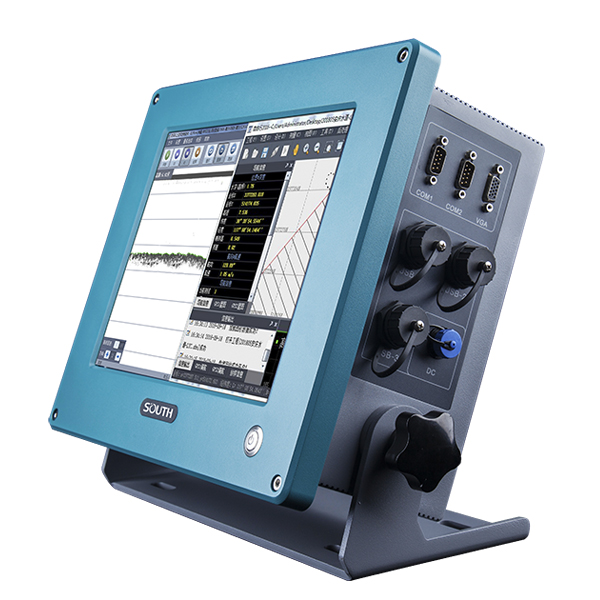
SOUTH
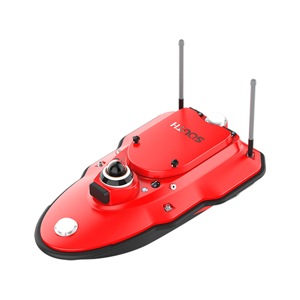
Marine and hydrographic
- System
- Android System
- Display
- 9.2-inch HD Display
- Operating frequency
- 200 kHZ
SOUTH
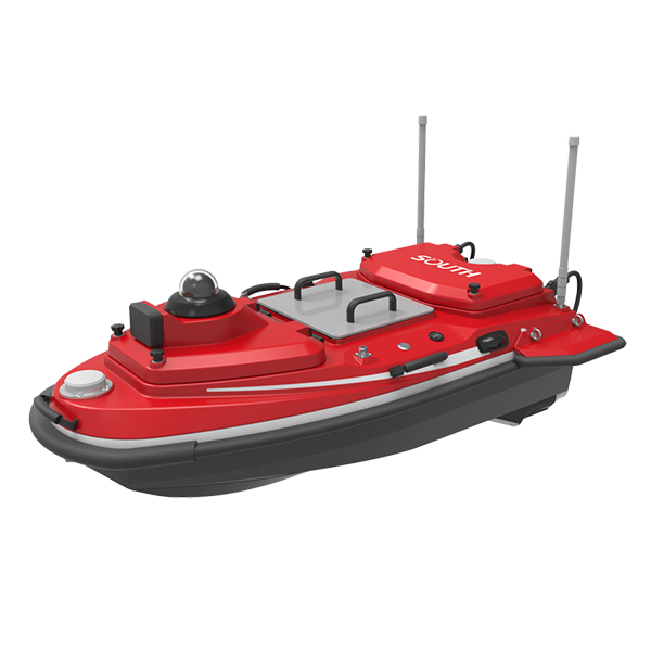
Marine and hydrographic
SOUTH
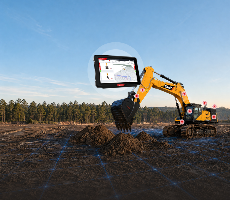
Excavator Guidance System EGS01
SOUTH
Marine and hydrographic
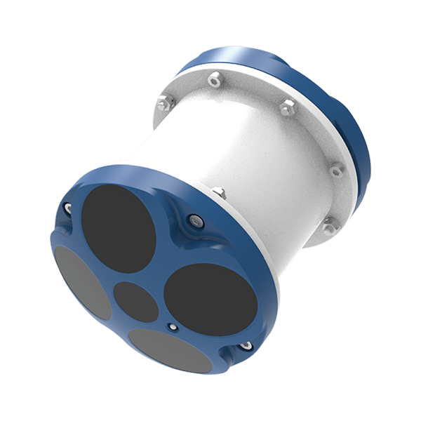
- Number Of Cells
- 260
- Ping Rate
- Max 20Hz
- Resolution
- 1mm/s
SOUTH
Marine and hydrographic
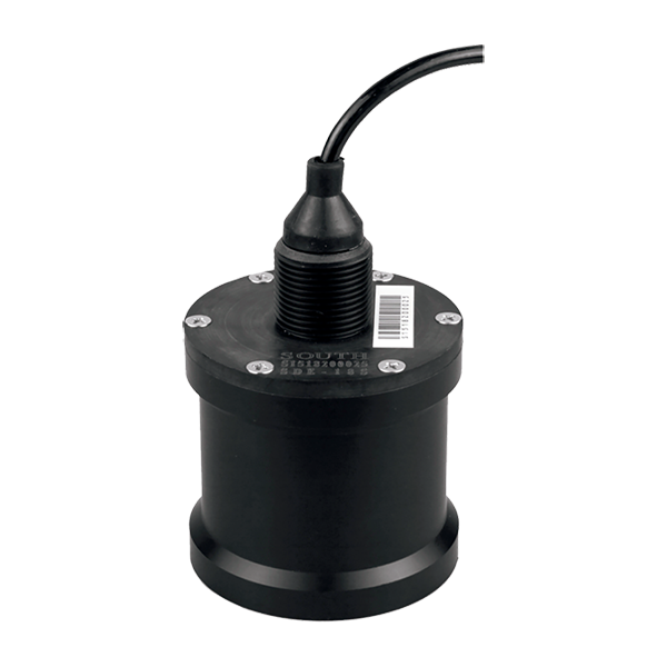
- Sound Frequency
- 200K Hz
- Beam Angle
- 5°
- Depth Range
- 0.4-100m
SOUTH
Marine and hydrographic
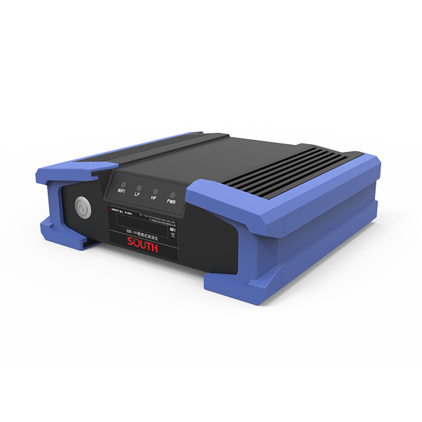
- Power supply
- DC 12V
- IP level
- IP67
- Operating temperature
- -45°C - 60°C
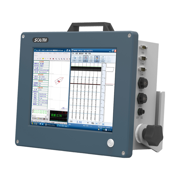
SOUTH
Marine and hydrographic
SOUTH
Marine and hydrographic
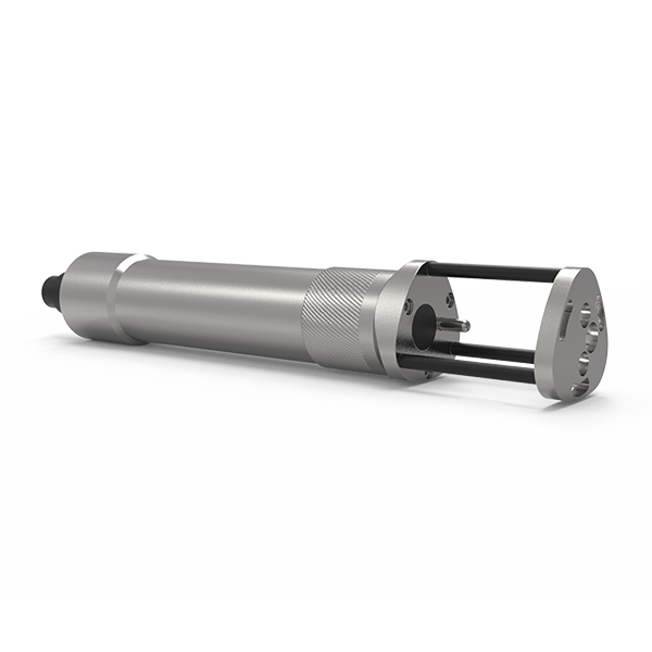
SOUTH
Marine and hydrographic
- Sound velocity range
- 1400m/s~1900m/s
- Measurement accuracy
- 0.03m/s
- Acoustic Frequency
- 2MHz
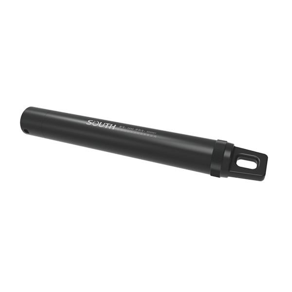
SOUTH
Marine and hydrographic
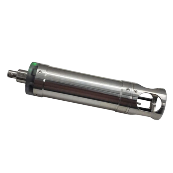
- Pressure accuracy
- ±0.2%FS
- Resolution
- 0.001m
- Temperature range
- -40℃~+120℃
SOUTH
Marine and hydrographic
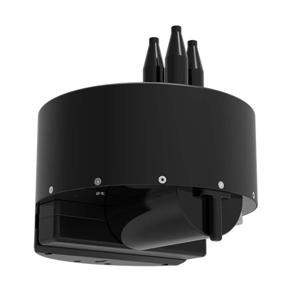
- Velocity Range
- 1375-1900 m/s
- Velocity Resolution
- 0.001 m/s
- Velocity Accuracy
- ±0.02 m/s
SOUTH
Marine and hydrographic
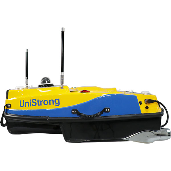
- Model
- T400S
- Frequency
- 400kHz
- Swath Coverage
- Up to 140°
UniStrong
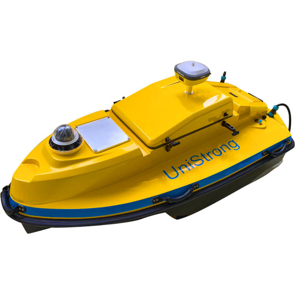
Smart Unmanned Surface Vessel
- Dimensions
- 1200mm×645mm×375mm
- Hull Weight
- 16kg
- Payload Capacity
- ≥15kg
UniStrong
Unmanned Surface Vessel (USV)
- Hull
- Hull Weight / 46kg
- Power System
- Maximum Speed / ≥5m/s
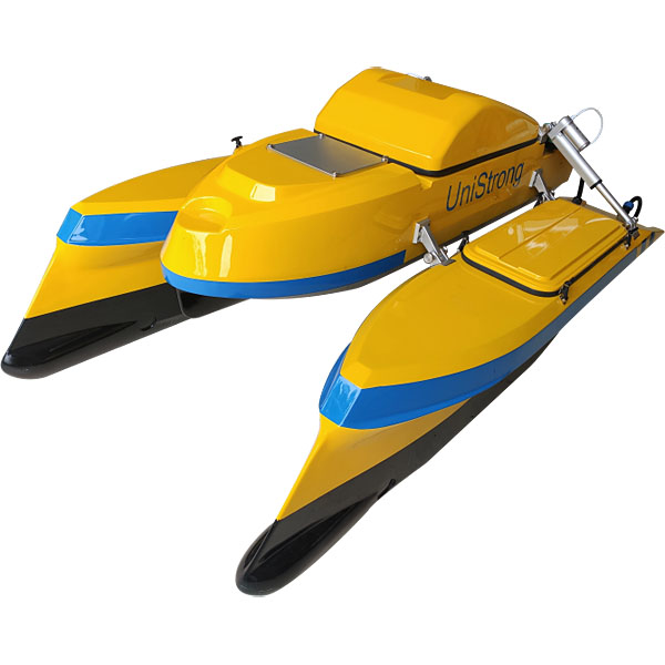
UniStrong
Unmanned Surface Vessel (USV)
- Hull
- Hull Weight / 45kg
- Hull
- Camera / 360° camera
- Hull
- Hull Type / Catamaran
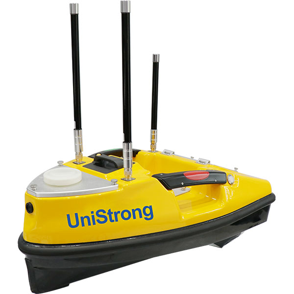
UniStrong
Compact yet highly capable small unmanned surface vessel (USV) platform. Its hull is constructed…
- Dimensions
- 750mm x 410mm x 230mm
- Hull Weight
- 5kg
- Max. Payload
- 8kg
- Voltage
- DC12V
- Communication
- RS485
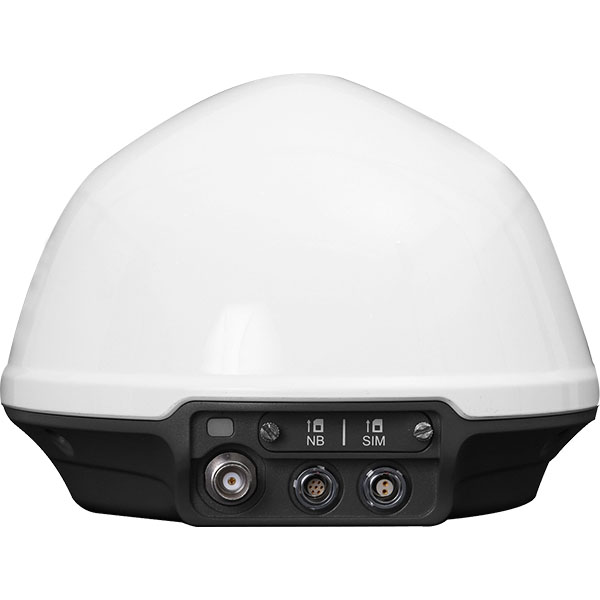
- External dimensions
- Φ530mm*588mm
UniStrong
Dedicated, cost-effective GNSS monitoring receiver deeply developed for geological slope monitoring scenarios. It integrates…
- Item
- Sub-item / Description
- Data Interfaces
- 2-Pin / Power
UniStrong
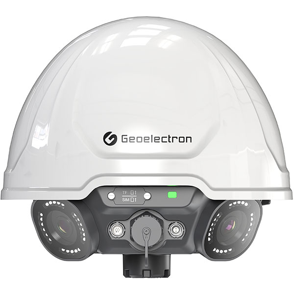
Panoramic GNSS Monitoring Receiver
- Channels
- ≥ 800 channels
- Signal Tracking
- GLONASS: G1, G2, G3
- LoRa
- Supported
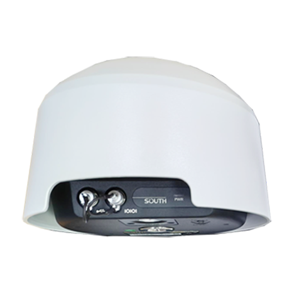
- Channel
- 1598 channels
- GPS
- L1C/A, L2C, L2E, L5
- GLONASS
- L1, L2, L3
- Collected Interval
- 0s~24h
- Upload interval
- 0s~72h
- Output
- RS485, 3/4G