
FOIF
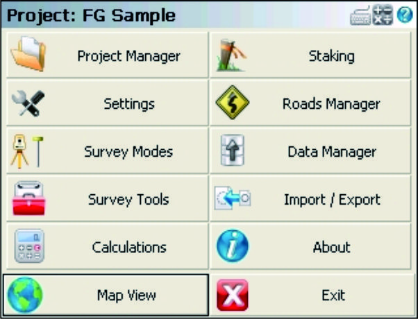
FieldGenius
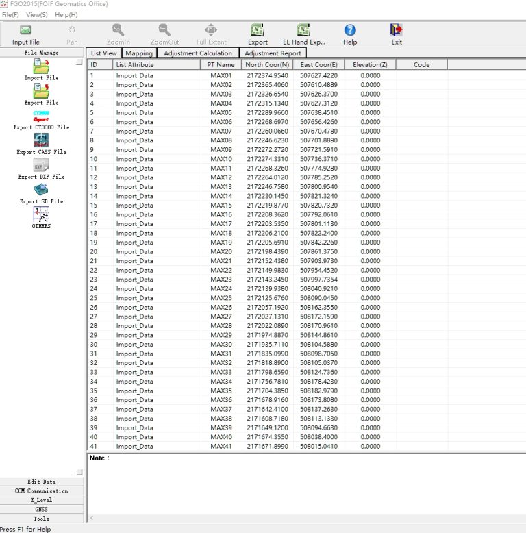
FOIF FieldGenius is professional surveying and mapping software, with user-friendly toolbars, powerful modules and…
Authorized distributor of original survey instruments·Dispatch in 3 to 7 working days·DDP / CIF / FOB
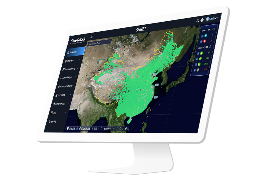
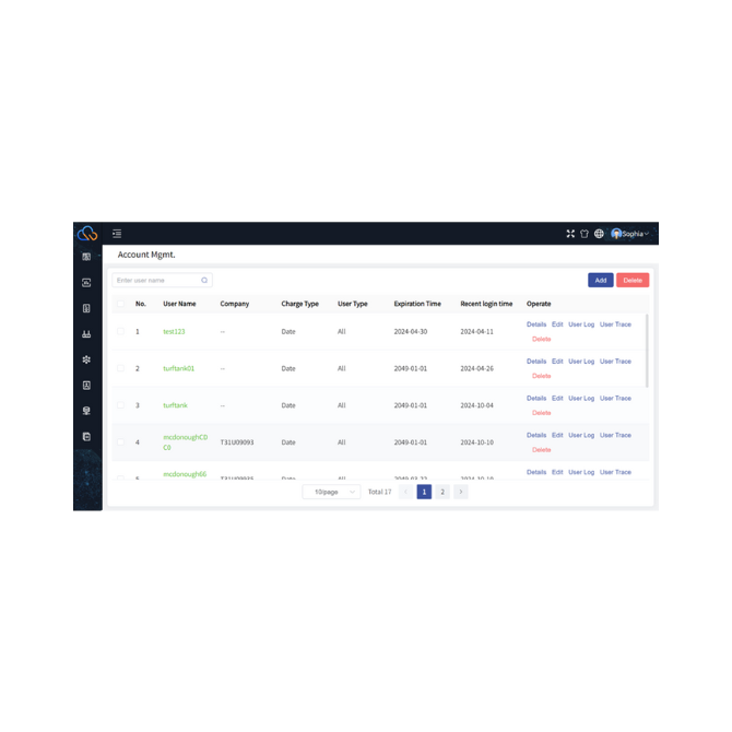

ComNav Cloud Based CORS Service consists of CDC.NET (main CORS stream processing engine), CDC+ (Ntrip caster software), VRS service and Base management. The service provides multi-brand reference station access, flexible and diverse data storage, real-time display of ionospheric, multipath, clock error and other data.
Original ComNav unit·Authorized distributor
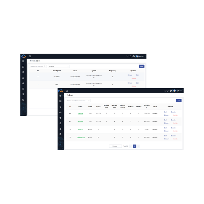
ComNav Cloud Based CORS Service consists of CDC.NET (main CORS stream processing engine), CDC+ (Ntrip caster software), VRS service and Base management. The service provides multi-brand reference station access, flexible and diverse data storage, real-time display of ionospheric, multipath, clock error and other data. Additionally, it offers user and service attribute management and completely independent service management, supporting millions of users. The system is designed with a scalable distributed architecture, where each server and node is meticulously designed to function autonomously from the others. This modular configuration guarantees that any issue or failure occurring within a specific segment of the network will not proliferate and detrimentally impact the overall operation of the service. Additionally, CTNET offers subnet options for dividing the network into multiple parts, suitable for regions requiring different local coordinate systems. Subnet management enables efficient segmentation and administration, particularly beneficial when regions utilize differing local coordinate systems.
Supports high concurrency ,enabling flexible expansion to support broadcasting for millions of users
Ensures over 99.99% usability with load balancing and dual data center active-active technology
High security is guaranteed through disaster recovery solutions and user data protection
Provides high-precision positioning with centimeter-level RTK and static accuracy
Scalable distributed deployment ensures any issue in a network segment won't impact overall service operation
Effortless base station management with multi-brand device support
Pay-as-you-go model for adaptable and flexible billing based on usage time
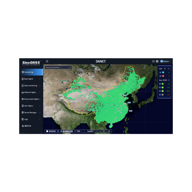
Real-time monitoring of base station status with multiple map views for comprehensive monitoring
This service can instant check the status of base stations (online/offline), visualize the real-time distribution and positioning status (fixed/float) of online users, and support multiple map views such as Google Maps and Satellite Maps to realize comprehensive monitoring. It also offers support for various types of correction data broadcasting, encompassing formats such as RTCM3.X and RTCM2.X, ensuring efficient and precise data transmission. It also provides a range of location type services, including virtual reference station (VRS) and nearest station (nearest) options, to meet diverse positioning needs of different users.
Through effortless base station management, users can easily add, edit, and delete multi-brand devices, provides online PPP function to calculate base station coordinates, and allows for the real-time checking of base station data flow status and real-time display of base station status, helping users easily manage base station for smooth operation. The introduction of the pay-as-you-go model allows users to flexibly adjust costs while ensuring service quality, further optimizing resource allocation and base station management.
ComNav Cloud Based CORS Service helps enhance the company’s reputation within the industry. As the company grows and gains experience in the CORS field, the brand will become increasingly recognized, with more users seeking you out, not just for devices but also for CORS services. This reputation can also lead to opportunities for government projects, where local authorities may seek the company’s expertise in building or upgrading the national CORS system.
Free PDFs for the CTNET. Need a manual in another language? Ask us and we will send it.
FOIF FieldGenius is professional surveying and mapping software, with user-friendly toolbars, powerful modules and…

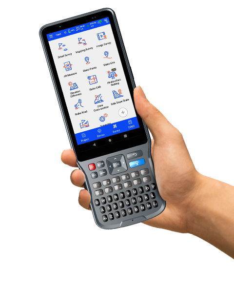
Hi-Survey Hi-Survey is an Android software that is designed for all types of land…
Tell us how many units and where they ship. An engineer replies with price, lead time and freight within 24 hours.
Reply within 24 h · Original units · Local datum preset