
Hi-Target
Hi-Survey Software
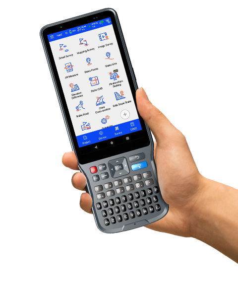
Hi-Survey Hi-Survey is an Android software that is designed for all types of land…
Authorized distributor of original survey instruments·Dispatch in 3 to 7 working days·DDP / CIF / FOB
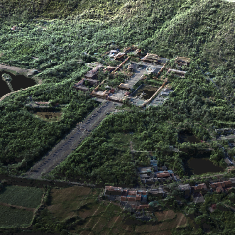
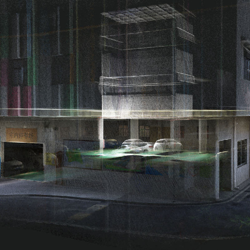
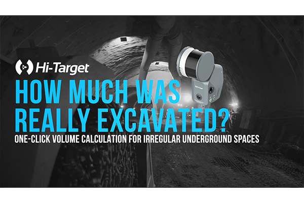
Hi-LiDAR Hi-LiDAR is a 3D laser point cloud processing software independently developed by Hi-Target. It is designed to integrate the entire workflow—from pre-processing to post-processing—within a single platform, improving project data-processing efficiency and enhancing the overall user experience.
Original Hi-Target unit·Authorized distributor
Hi-LiDAR Hi-LiDAR is a 3D laser point cloud processing software independently developed by Hi-Target. It is designed to integrate the entire workflow—from pre-processing to post-processing—within a single platform, improving project data-processing efficiency and enhancing the overall user experience. With five powerful modules — Aerial Data Processing, SLAM Data Processing, Terrain Data & Analysis, Architecture Module, and Engineering Module — Hi-LiDAR delivers a unified point cloud processing solution.
Hi-LiDAR Hi-LiDAR is a 3D laser point cloud processing software independently developed by Hi-Target. It is designed to integrate the entire workflow—from pre-processing to post-processing—within a single platform, improving project data-processing efficiency and enhancing the overall user experience. With five powerful modules — Aerial Data Processing, SLAM Data Processing, Terrain Data & Analysis, Architecture Module, and Engineering Module — Hi-LiDAR delivers a unified point cloud processing solution.
Aerial Data Processing For UAV LiDAR Data Processing like LS1 Airborne Mode ● DOM Orthophoto Generation ● Mesh Surface Modeling ● One-Click Workflow ● Automatic Strip Selection ● Point Cloud Optimization ● Quality Checks & Reports
SLAM Data Processing For Handheld SLAM Data Processing like V700S ● 3DGS Reconstruction & Visualization ● Mesh Surface Modeling ● SLAM Wizard Processing ● Comprehensive Coordinate Support ● PPK Processing
Download Brochures All Language English Hi-LiDAR-Brochure-EN-20260106(s) Download
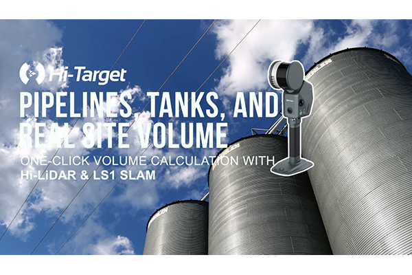
Quick Start Video All Language English What’s new in Hi-LiDAR V4.2.1? Faster space volume calculation for industrial facilities. Hi-LiDAR V4.2.1 Has Arrived!
Free PDFs for the Hi-LiDAR. Need a manual in another language? Ask us and we will send it.
Hi-Survey Hi-Survey is an Android software that is designed for all types of land…
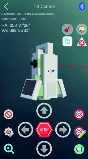

Developed to meet the operational needs of various resource surveys and censuses, "JiZhiDiao" integrates…

Designed to meet the GIS spatial data collection needs of industries such as land…
Tell us how many units and where they ship. An engineer replies with price, lead time and freight within 24 hours.
Reply within 24 h · Original units · Local datum preset