FOIF
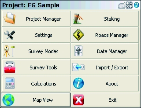
FOIF FieldGenius is professional surveying and mapping software, with user-friendly toolbars, powerful modules and…
FOIF
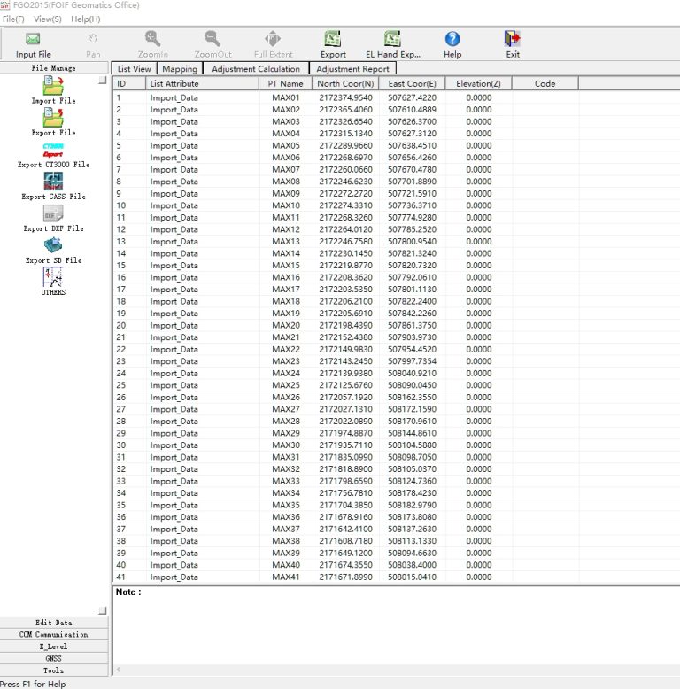
FGO can manage different instrument files in one platform.
FOIF
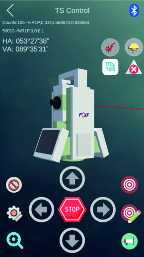
Supports one man survey with remote control that the stable bluetooth connection can be…

UniStrong
Developed to meet the operational needs of various resource surveys and censuses, "JiZhiDiao" integrates…

UniStrong
Designed to meet the GIS spatial data collection needs of industries such as land…
CHCNAV
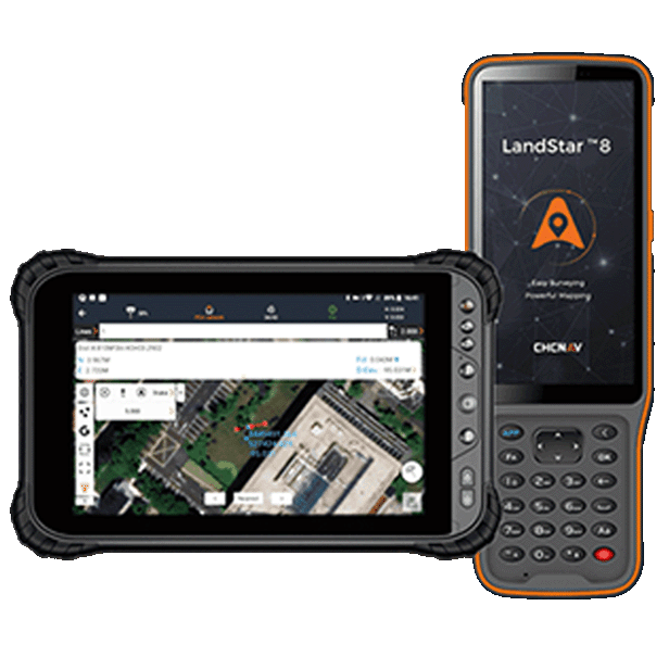
Trusted data collection app for Android devices and CHCNAV controllers, streamlining high-precision surveying and…
- Operating system
- Android
- Languages
- Over 35 supported
- Device
- Bluetooth, Wi-Fi
UniStrong
Developed to meet user demands for positioning and data collection on mobile smart terminals,…
UniStrong
Designed to meet user demands for outdoor handheld navigation on mobile handheld terminals, this…
UniStrong
Based on the self-developed proprietary BeyonDB spatial database, the Multi-Source Data Management and Service…
CHCNAV
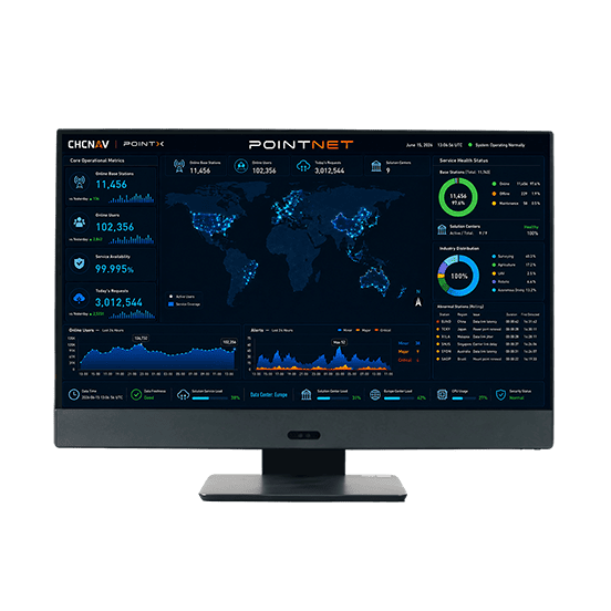
PointNet is CHC Navigation’s internet-based GNSS RTK correction service, delivering real-time centimeter-level positioning through…
- Availability
- 99.99%
- Concurrency
- >10⁶
- Delivery
- Cellular (Internet)
CHCNAV
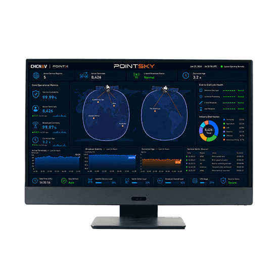
PointSky is CHC Navigation L-Band satellite-based GNSS correction service for high-accuracy real-time positioning without…
- Availability
- 99.9%
- Concurrency
- >10⁶
- Data Format
- Proprietary format
KOLIDA
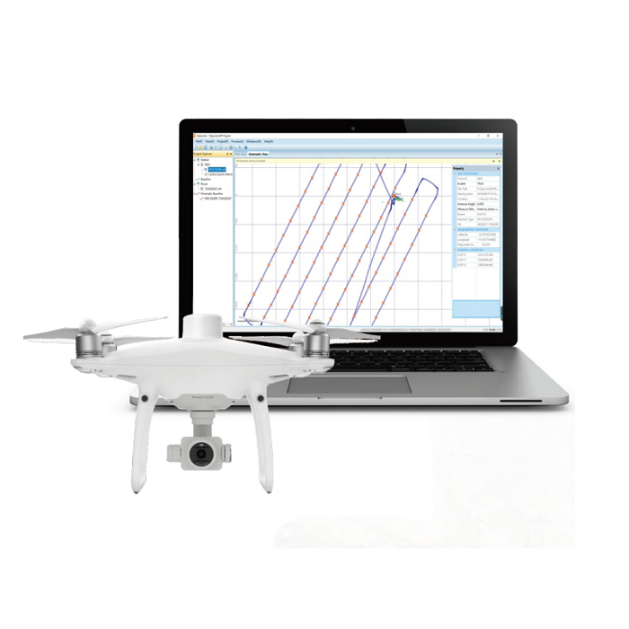
SkyLines is engineered to deal with the flight lines and compute precise aerial positional…
FOIF
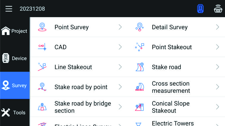
Outstanding surveying and mapping software with powerful functions, which can support GNSS mode and…
UniStrong
Imagery Database Management System
- Specification
- Parameter
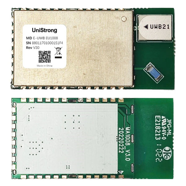
UniStrong
Compact positioning module developed by UniStrong based on Enhanced Ultra-Wideband (E-UWB) technology. Designed for…
- Dimensions
- 20*40*2.45 mm
- Package
- 32-pin LCC stamp hole
- Antenna Type
- Ceramic antenna
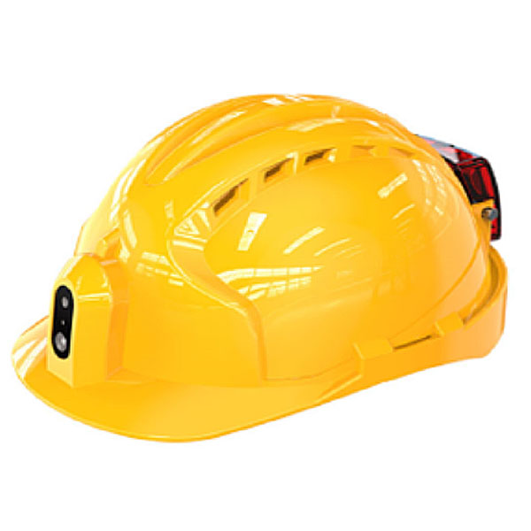
UniStrong
BeiDou Video Smart Helmet
- Processor
- Quad-core A53, 1.4 GHz
- Memory Configuration
- 1GB+8GB or 2GB+16GB
- SIM Card
- Nano-SIM slot and eSIM
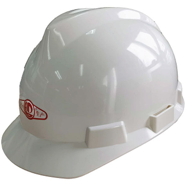
UniStrong
BeiDou Positioning Smart Safety Helmet
- Specifications
- Description
- Communication Standard
- Wi-Fi
- Standby Time
- 15 days
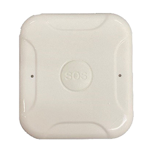
UniStrong
BeiDou 4G Positioning Tag
- Bluetooth Mode
- Supports Bluetooth 5.0
- Ingress Protection
- IP65
- Standby Time
- ≥7 days
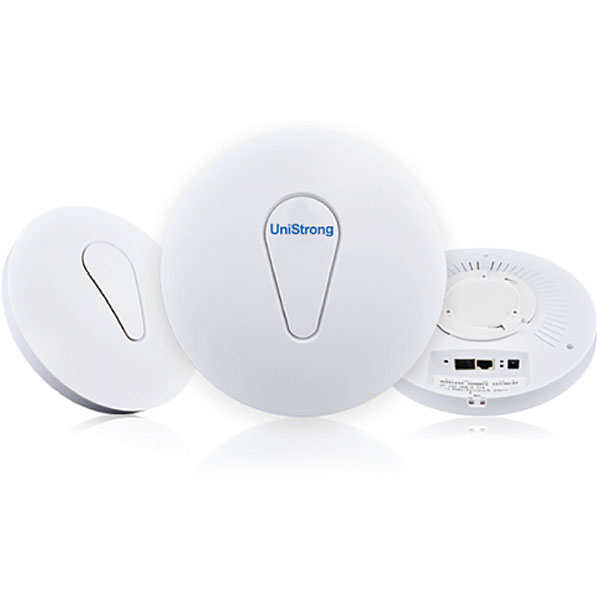
UniStrong
Indoor Positioning Base Station
- Dimensions
- 150*150*60mm
- Enclosure Material
- PC
- Power Supply
- PoE, USB (5V)
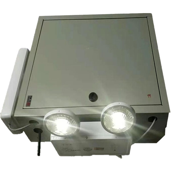
UniStrong
Multi-Mode Multi-Function Micro Base Station
- Module
- Wi-Fi + UWB dual-mode
- Positioning Accuracy
- ≤50cm
- Coverage Range
- Better than 200 m
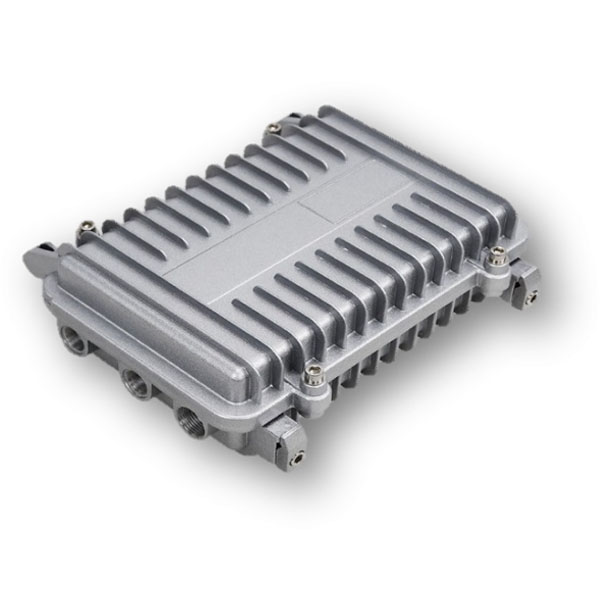
UniStrong
Outdoor Positioning Base Station
- Dimensions
- 210*130*60mm
- Housing Material
- Aluminum alloy
- Power Supply
- PoE
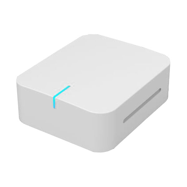
UniStrong
Positioning Tag
- Dimensions
- 52.5 x 62.5 x 21.5 mm
- Interface
- Power button
- Data Update Rate
- 0.1–20 Hz adjustable

UniStrong
(Badge Type) Positioning Tag
- Dimensions
- 99.7*59*6 mm
- Interface
- Micro USB, SOS button
- Protection Rating
- IP52 (splash-proof)
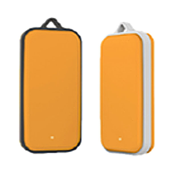
UniStrong
Positioning Tag
- Dimensions
- 46*22*8 mm (core)
- Housing Material
- PC
- Operating Frequency
- UWB: 3.5-6.5G
