
All products
Every model we ship in one catalog, from RTK receivers and total stations to scanners and echo sounders. Filter by product line or brand to narrow the list.
2318models
18product lines
9brands
ComNav
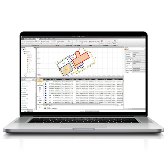
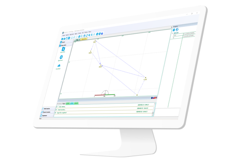
Compass Solution
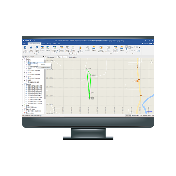
Independently developed software by ComNav for GNSS static and Dynamic post-processing analysis. lt supports…
CHCNAV
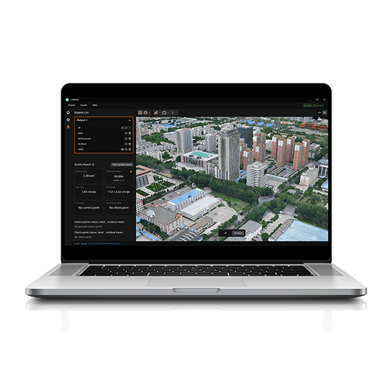
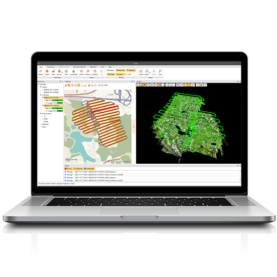
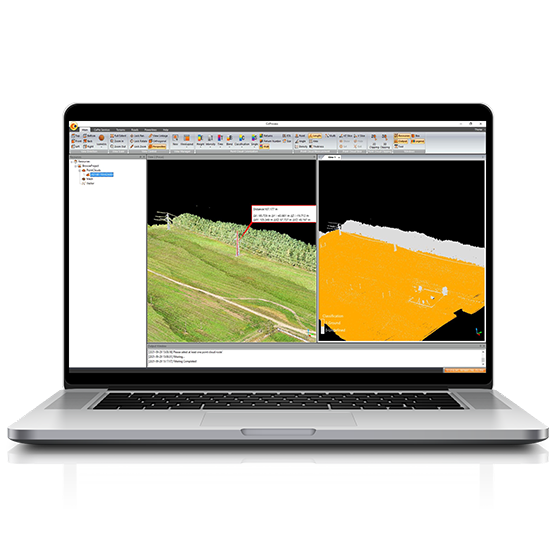
CoProcess Classic
Powerful software solution tailored to the post-processing of massive point cloud data. It seamlessly…
- Operating system
- Windows
- Languages
- English, Chinese,
- File formats
- codata,las, and more.

UniStrong
JiZhiDiao Industry GIS Survey Software
Developed to meet the operational needs of various resource surveys and censuses, "JiZhiDiao" integrates…

UniStrong
Jizhitong General GIS Data Collection Software
Designed to meet the GIS spatial data collection needs of industries such as land…
UniStrong
MobileGIS Basic Data Collection Software
Developed to meet user demands for positioning and data collection on mobile smart terminals,…
UniStrong
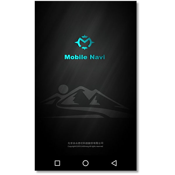
MobileNavi Basic Navigation Software
Designed to meet user demands for outdoor handheld navigation on mobile handheld terminals, this…

UniStrong
Multi-Source Data Management and Service System V2.0
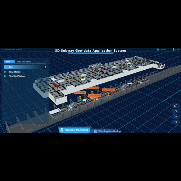
Based on the self-developed proprietary BeyonDB spatial database, the Multi-Source Data Management and Service…
ComNav
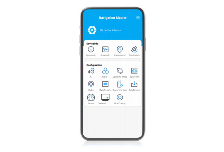
Navigation Master
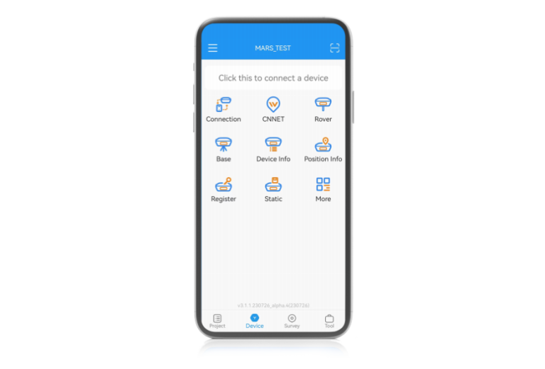
Navigation-oriented multifunctional Android software developed by ComNav Technology. lt enables quickly information viewing, parameter…

ComNav
Survey Master
With Suvery Master you can survey through Topo survey/Auto survey, Static and PPK modes;…
Not sure which model fits your job?
Tell us the work, the accuracy you need and your budget. An engineer replies with two or three options and prices within 24 hours.