
CHCNAV
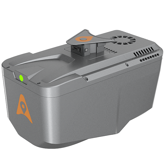
AlphaAir 10
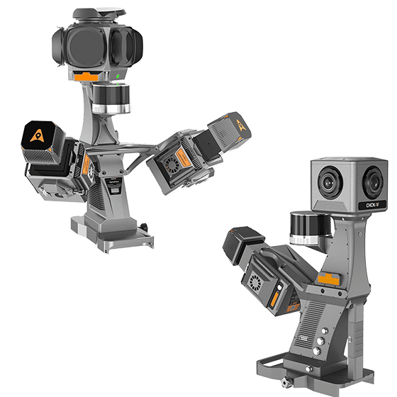
Professional airborne LiDAR+RGB system designed to meet the demanding requirements of UAV LiDAR mapping…
- Range
- 800 m
- Scanning rate
- 500.000 pulses/sec
- Field of view
- 75°
Authorized distributor of original survey instruments·Dispatch in 3 to 7 working days·DDP / CIF / FOB
38 Laser scanners and LiDAR models. Every unit is original and ships with your local coordinate system preset.
Showing 1 to 15 of 15
Professional airborne LiDAR+RGB system designed to meet the demanding requirements of UAV LiDAR mapping…
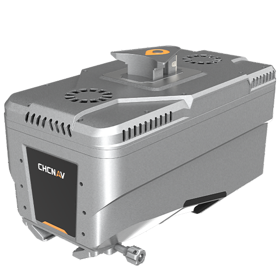
Lightweight, high-performance airborne LiDAR system designed for large-scale operations where high-density data capture is…
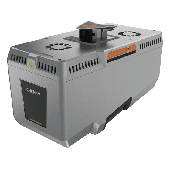
Premium airborne LiDAR system for large-area geospatial data capture. With up to 3,200 m…
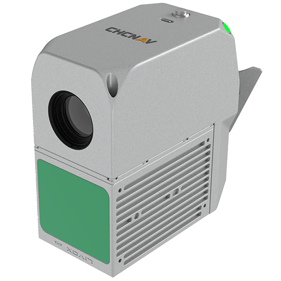
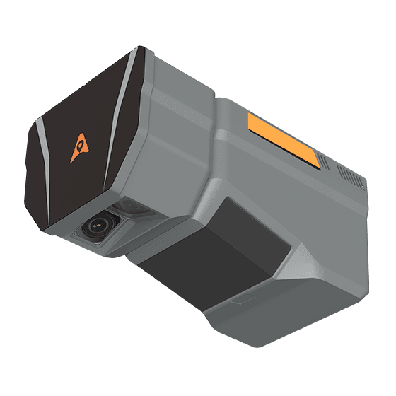
The CHCNAV AlphaAir 6 Dual (AA6D) airborne LiDAR system is designed for aerial surveying…
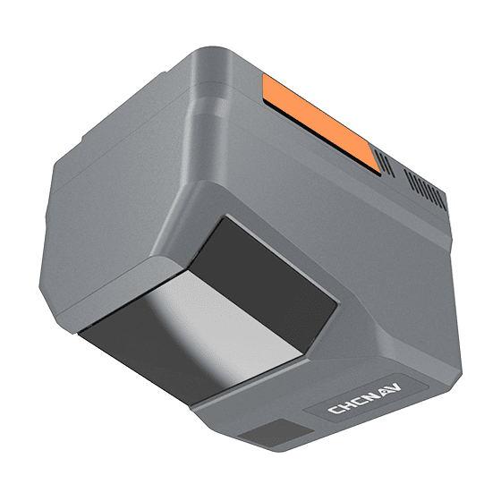
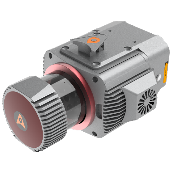
Multi-platform LiDAR system that combines a high-precision long-range laser scanner with Riegl's Waveform LiDAR…
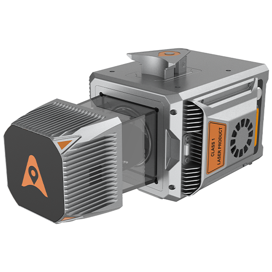
Cost-effective, premium-class multi-platform mobile mapping system that embodies CHCNAV's advanced LiDAR technology. Designed for…
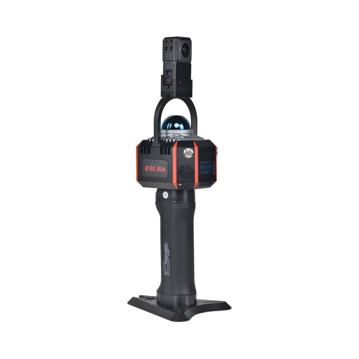
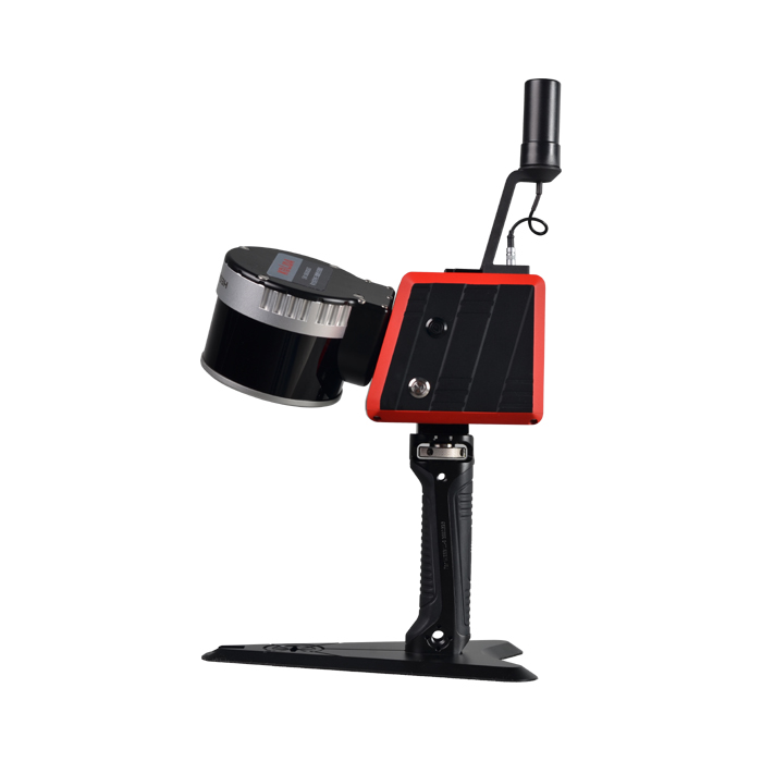
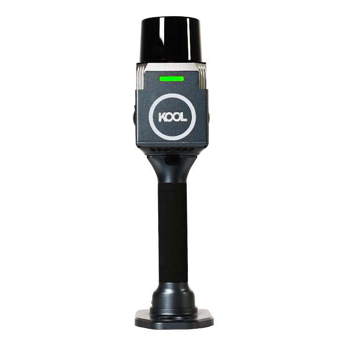
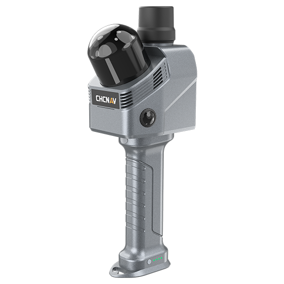
The KOOL is a highly efficient and cost-effective handheld 3D LiDAR scanner
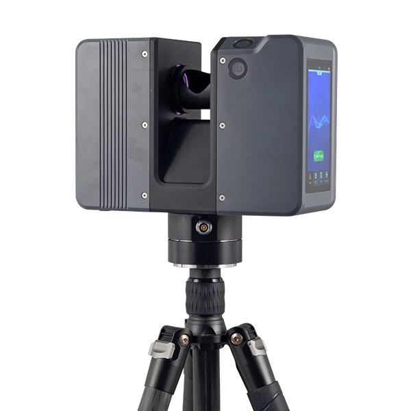
Pulsed Precise Scan technology Scanning Range: 0.6 ~ 1500m Scanning Accuracy: 3mm @ 100m…
Tell us the work, the accuracy you need and your budget. An engineer replies with two or three options and prices within 24 hours.