
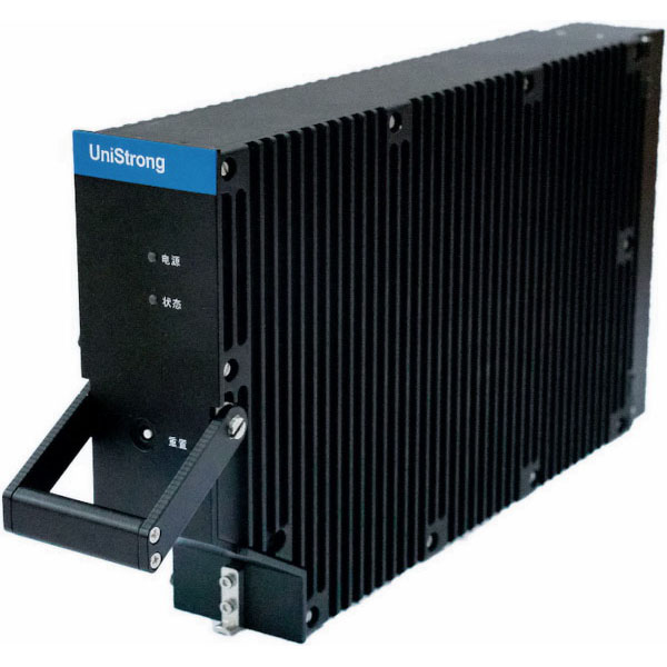
UAV and mobile mapping
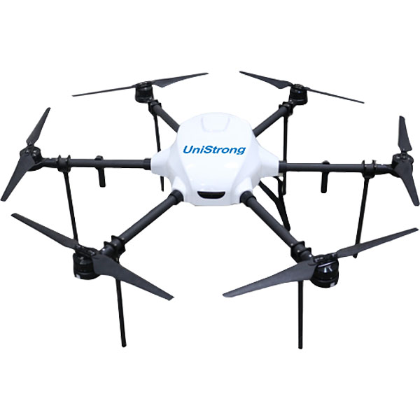
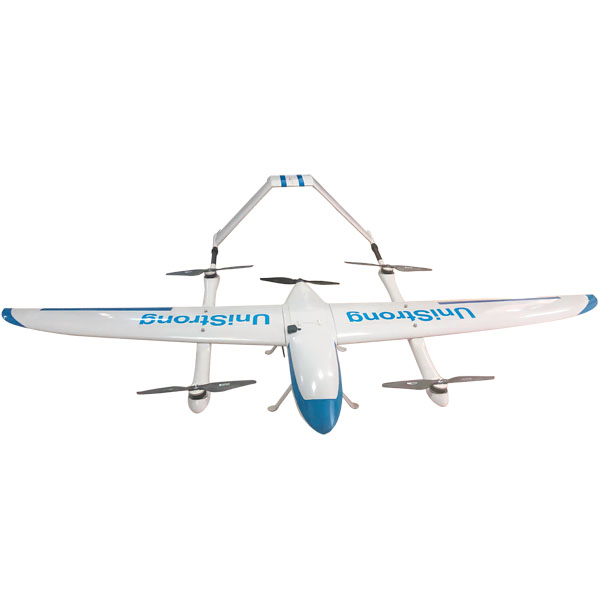
19 UAV and mobile mapping models. Every unit is original and ships with your local coordinate system preset.
19models
3 to 7days to dispatch
UniStrong
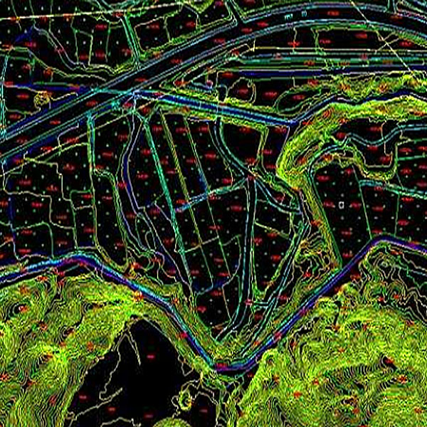
DLG Digital Line Graph
The Digital Line Graph (DLG) is a map format that provides convenient zooming, panning,…
- Data Format
- DWG, DXF, SHP, mdb
UniStrong
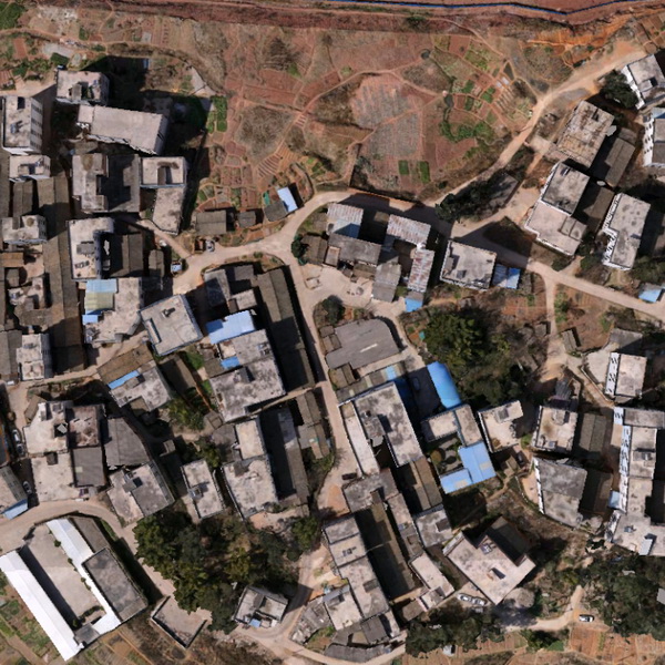
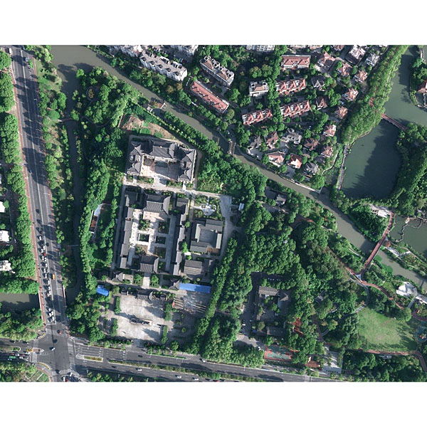
DOM Digital Orthophoto Map
Digital Orthophoto Map (DOM) refers to image data generated by performing pixel-by-pixel rectification on…
- Data Format
- TIF, JPG, IMG, PNG
UniStrong
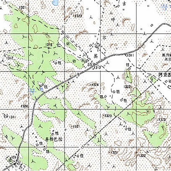
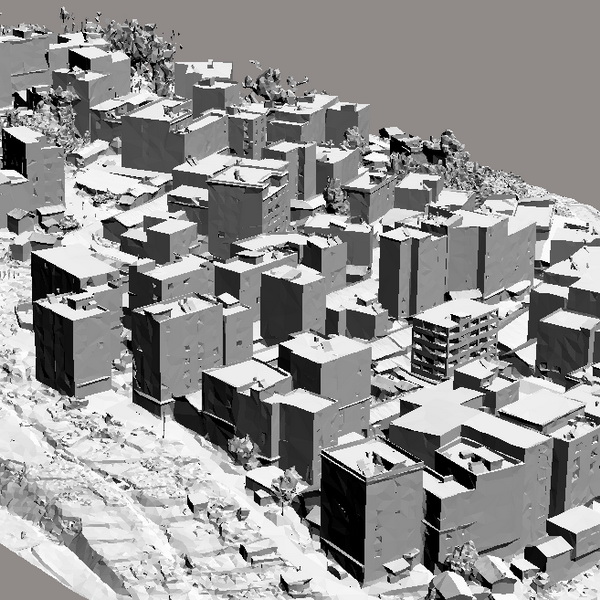
DRG Digital Raster Graphic
Digital Raster Graphic (DRG) is a digitized product of paper topographic maps. After scanning,…
UniStrong
DSM / DEM Digital Surface Model and Digital Elevation Model
A Digital Elevation Model (DEM) is a dataset of regular grid points with plane…
UniStrong
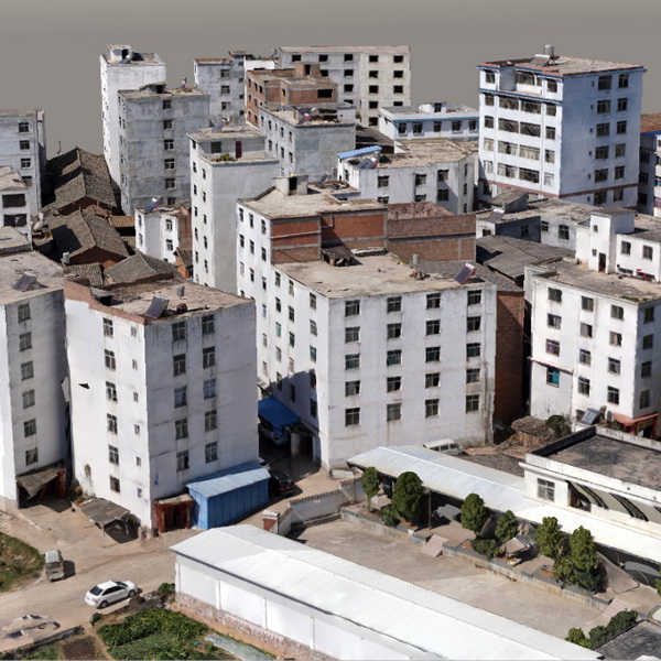
OSGB Oblique Photogrammetry 3D Real-Scene Model
The 3D real-scene model is generated by capturing multi-directional real-scene photos of the target,…
UniStrong
Surveying and Mapping Aerial Photography Services
Jiangsu Jinwei Remote Sensing Data Engineering Co., Ltd. is a professional company engaged in…
- Ground Resolution
- 2-50 cm
- Ground Resolution
- 2-10 cm
- Point Density
- 0.25-100 points/m²

Not sure which model fits your job?
Tell us the work, the accuracy you need and your budget. An engineer replies with two or three options and prices within 24 hours.