
CHCNAV
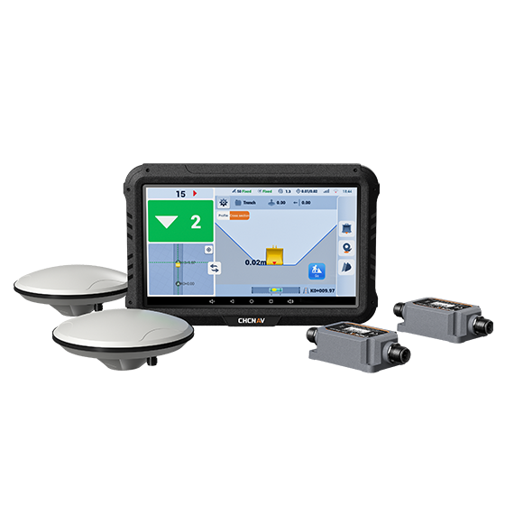
EasyNAV EMG100
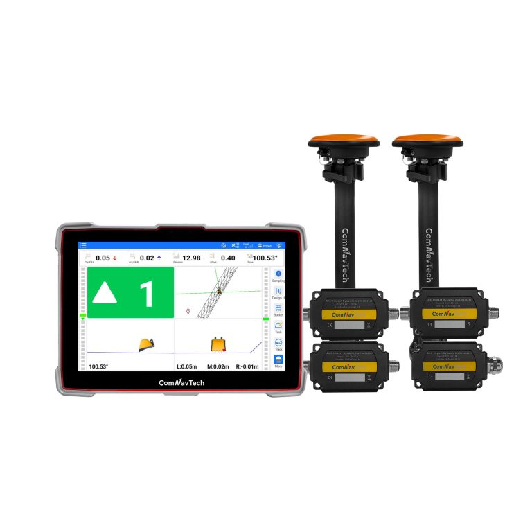
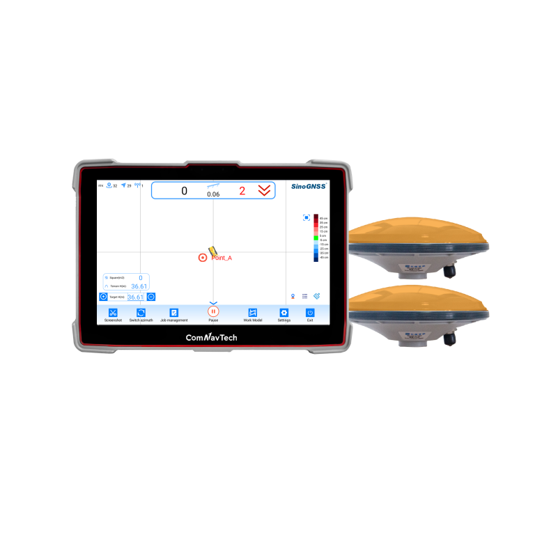
The EasyNAV EMG100 2.5D Excavator System is a precise and user-friendly solution designed for…
- GNSS
- Full GNSS
- Precision max.
- ±3 cm
- Display
- 10.1", Android, IP65
Authorized distributor of original survey instruments·Dispatch in 3 to 7 working days·DDP / CIF / FOB
Every model we ship in one catalog, from RTK receivers and total stations to scanners and echo sounders. Filter by product line or brand to narrow the list.
Showing 217 to 240 of 380
The EasyNAV EMG100 2.5D Excavator System is a precise and user-friendly solution designed for…
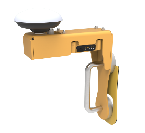
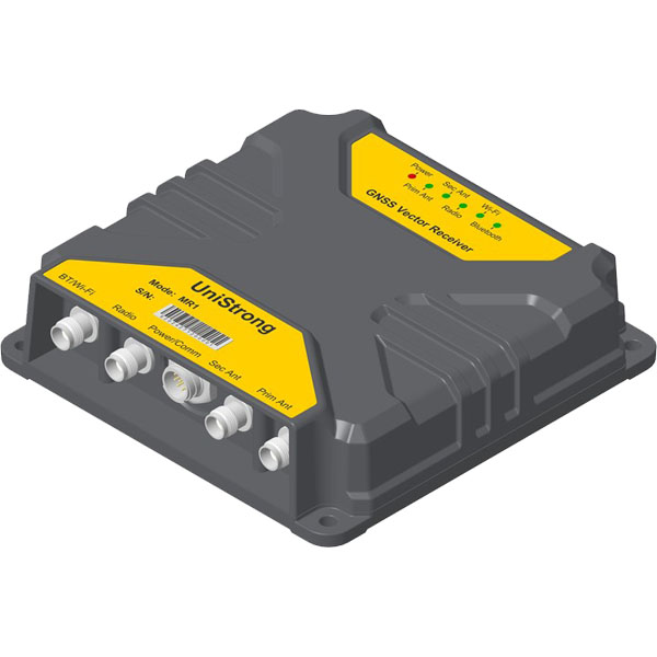
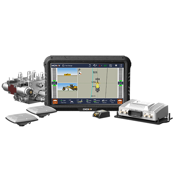
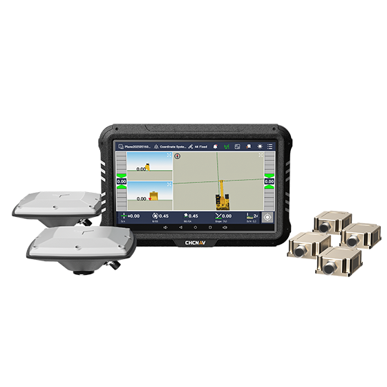
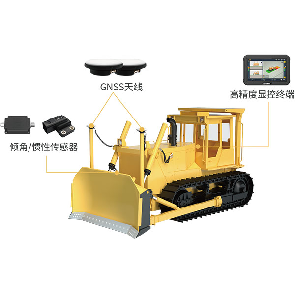
The system utilizes BeiDou/GNSS and multi-sensor fusion technology to provide real-time 3D guidance and…
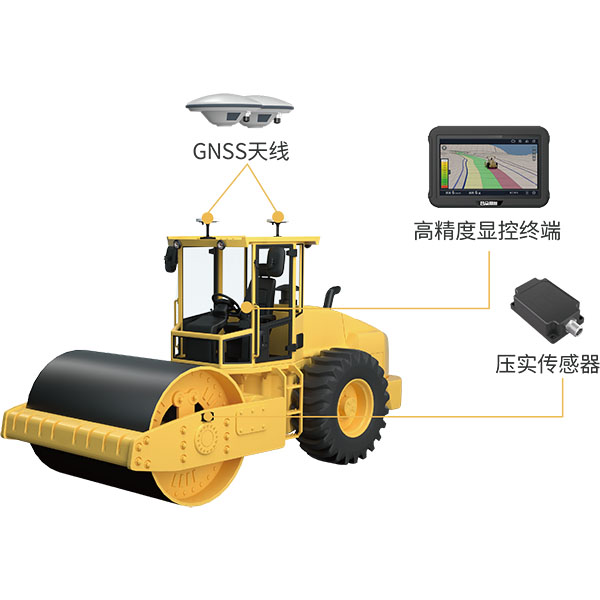
The system utilizes BeiDou/GNSS and compaction sensor monitoring technology to acquire the high-precision 3D…
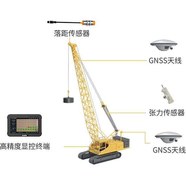
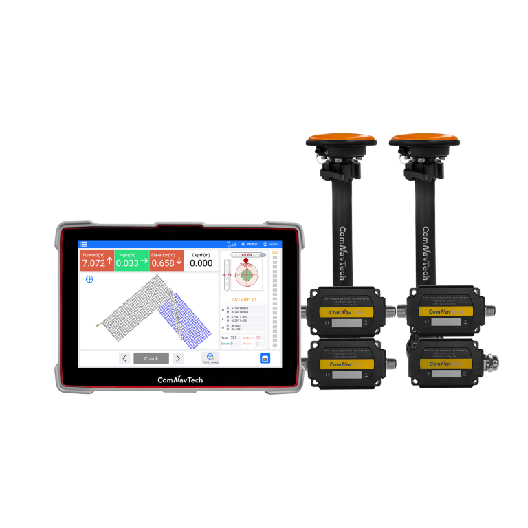
Utilizing BeiDou/GNSS and multi-sensor fusion technology, the system records and calculates blow counts, drop…
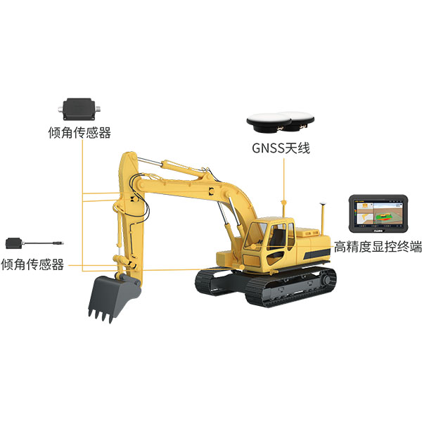
The system utilizes BeiDou/GNSS and multi-sensor fusion technology to provide real-time 3D guidance and…
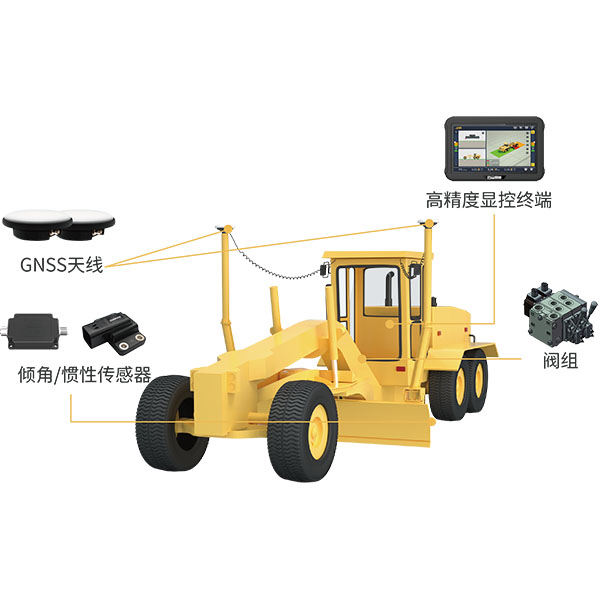
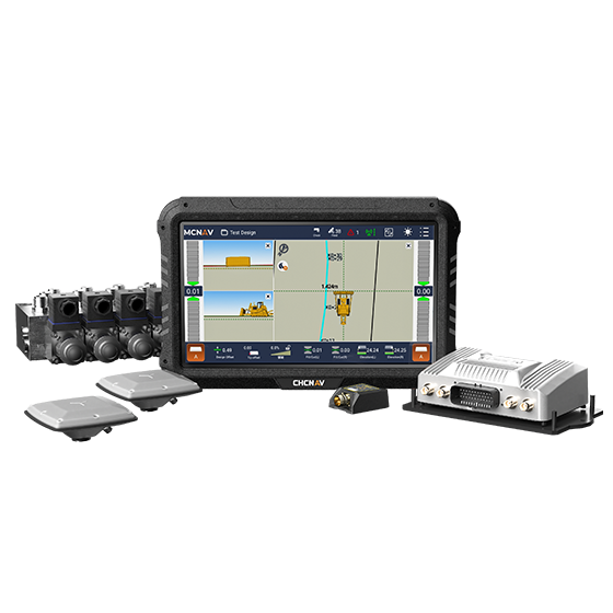
The system utilizes BeiDou/GNSS technology combined with sensors and hydraulic control devices to deliver…
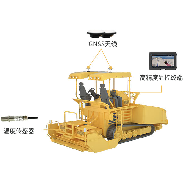
During paving operations, the intelligent paver guidance system utilizes BeiDou/GNSS equipment and infrared temperature…
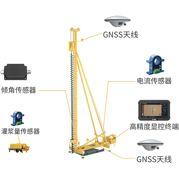
The system utilizes BeiDou/GNSS and multi-sensor fusion technology to obtain precise 3D position information…

Tell us the work, the accuracy you need and your budget. An engineer replies with two or three options and prices within 24 hours.