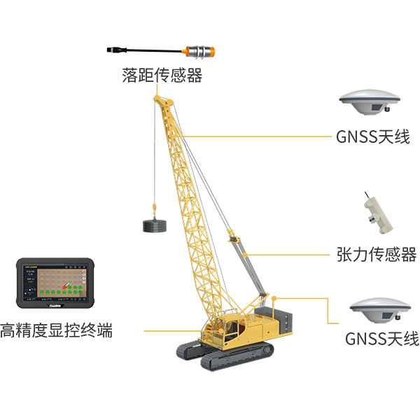
UniStrong
Utilizing BeiDou/GNSS and multi-sensor fusion technology, the system records and calculates blow counts, drop…
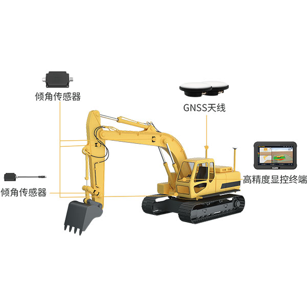
UniStrong
The system utilizes BeiDou/GNSS and multi-sensor fusion technology to provide real-time 3D guidance and…
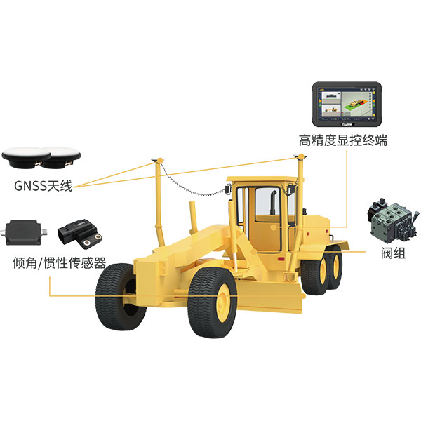
UniStrong
The system utilizes BeiDou/GNSS technology combined with sensors and hydraulic control devices to deliver…
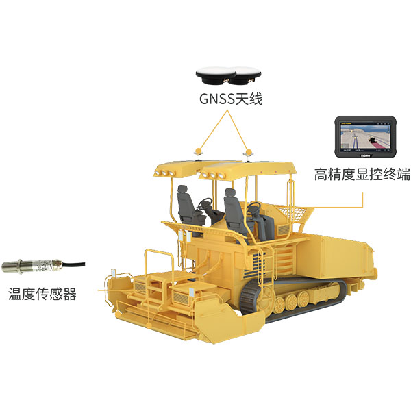
UniStrong
During paving operations, the intelligent paver guidance system utilizes BeiDou/GNSS equipment and infrared temperature…
UniStrong
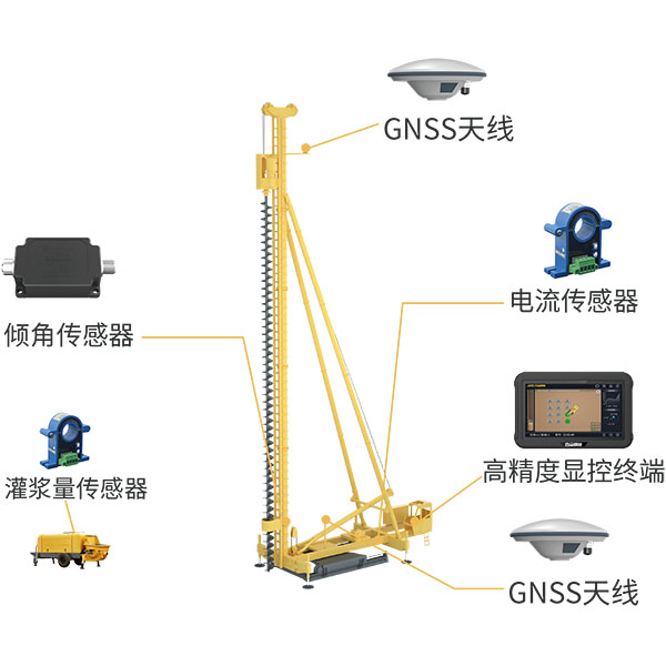
The system utilizes BeiDou/GNSS and multi-sensor fusion technology to obtain precise 3D position information…
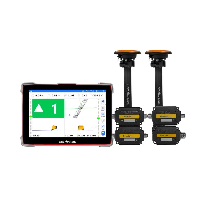
- GPS
- L1C/A, L2C, L2P
- BDS
- B1I, B2I, B3I, B2b
- GLONASS
- G1, G2
ComNav
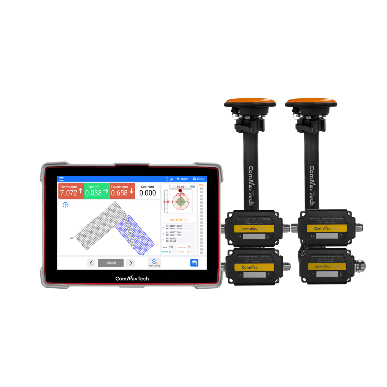
Advanced guidance system designed for high-precision piling operations. Engineered for all-weather performance, the XP300…
- GPS
- L1C/A, L2C, L2P
- BDS
- B1I, B2I, B3I, B2b
- GLONASS
- G1, G2
ComNav
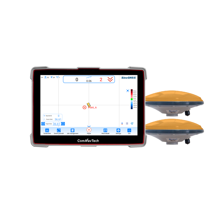
Professional guidance system for bulldozer leveling operationswhich independently developed and produced by ComNav Technology…
- Time accuracy
- 20ns
- Post processing
- 2.5mm+1ppm 5.0mm+1ppm
- Velocity Accuracy
- < 0.02m/s
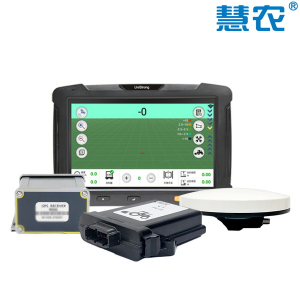
UniStrong
BeiDou Satellite Land Leveling System
- Signal Tracking
- GLONASS: G1, G2, G3
- Signal Tracking
- SBAS
- Land Leveling Accuracy
- ≤3.0 cm
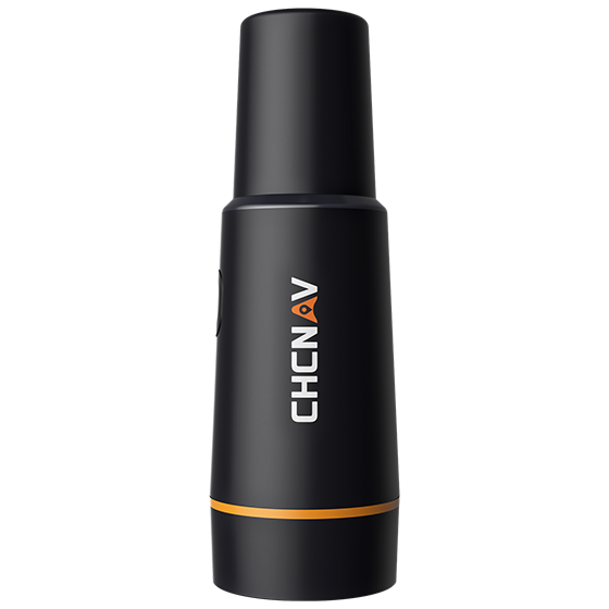
CHCNAV
Portable GNSS receiver designed for use with CHCNAV auto steering systems. It integrates an…
- GNSS
- Full GNSS
- Precision max.
- ≤ 2.5 cm
- Display
- Mobile phone APP
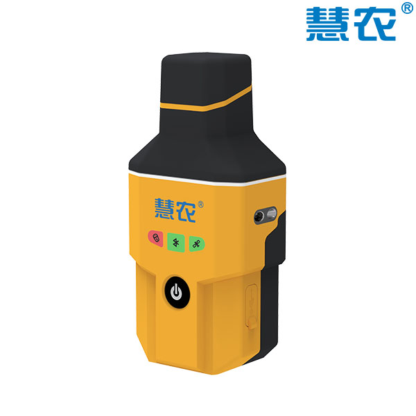
UniStrong
High-Precision Handheld Positioning Terminal
- Velocity Accuracy
- ≤0.03m/s
- Channels
- 1408
- Internal Memory
- 8GB
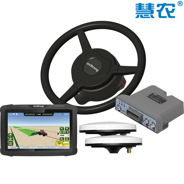
UniStrong
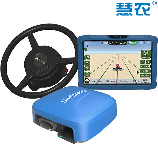
Electric Steering Wheel Auto-Steering System
- Straight-line accuracy
- ≤2.5cm
- Pass-to-pass accuracy
- ≤2.5cm
- Operating speed range
- 0.1~16km/h
UniStrong
BeiDou Auto-Steering System
- Pass-to-pass Accuracy
- ≤2.5cm
- Operating Speed Range
- 0.1–16km/h
- Positioning Accuracy
- SBAS / 0.3m / 0.6m
UniStrong
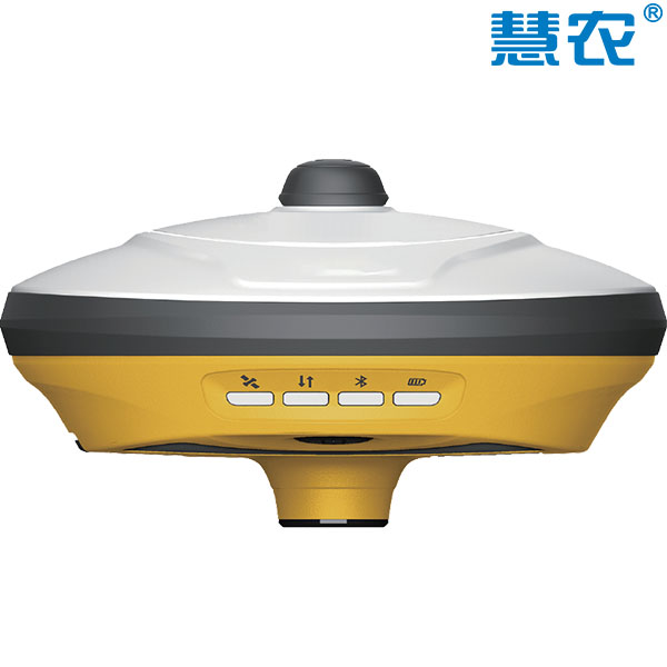
Professional and portable GNSS base station receiver. Featuring high-precision algorithms and multi-frequency tracking capabilities,…
- Channels
- 1408
- Cold Start
- < 30s
- Signal Reacquisition
- < 5s
KOLIDA
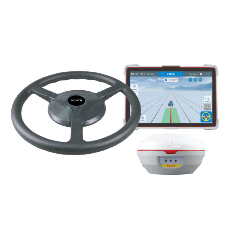
The SAG600 is an automated steering system that uses a smart antenna.
CHCNAV
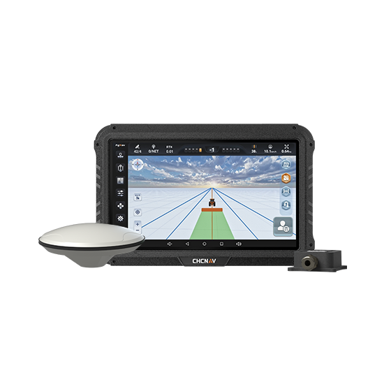
Manual GPS guidance system that helps farmers steer tractors and other agricultural vehicles accurately…
- GNSS
- Full GNSS
- Precision max.
- Sub-meter
- Display
- 10.1", Android
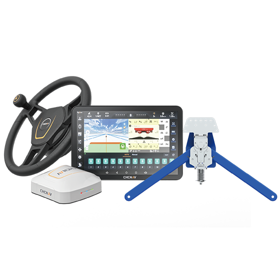
CHCNAV
Assisted steering system designed specifically for harvesters. Using advanced crop-row sensors, it detects the…
- Precision max.
- ±40 degrees
- Steering control
- ±8 cm
- Range
- Up to 15 km/h
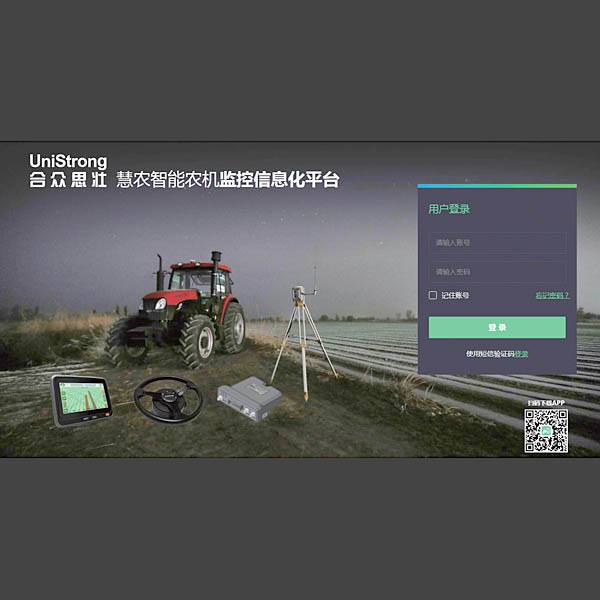
UniStrong
The Huinong® Intelligent Agricultural Machinery Telematics and Monitoring Platform is a dedicated, lightweight machinery…
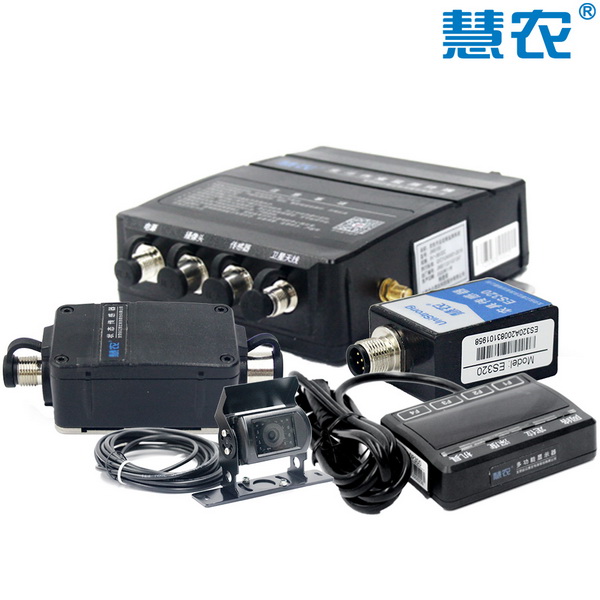
UniStrong
The Huinong® Remote Operation Monitoring System integrates sensor technology, computer measurement and control technology,…
- Satellite Tracking
- BDS: B1I GPS: L1C
- Positioning Accuracy
- ≤2m
- Communication Mode
- 4G Network
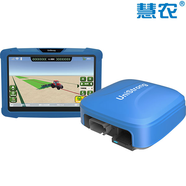
UniStrong
Satellite-Based BeiDou Auto-Steering System
CHCNAV
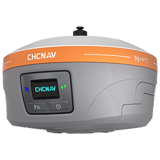
Fully integrated GNSS station designed to enhance the efficiency and productivity of agricultural operations.…
- GNSS
- Full GNSS
- Precision max.
- 0.8 cm H / 1.5 cm V
- Camera
- No
CHCNAV
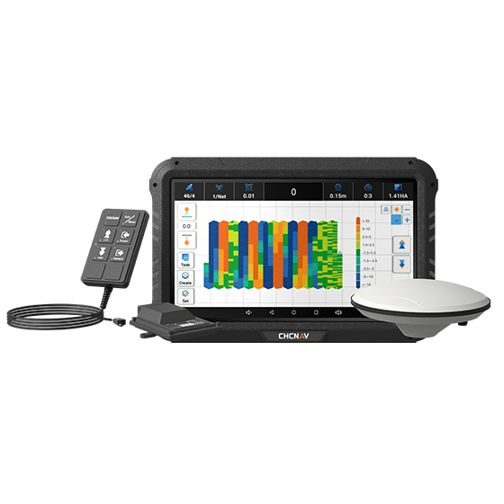
Advanced land leveling system integrating GNSS RTK technology and electro-hydraulic controls to automate the…
- GNSS
- Full GNSS
- Precision max.
- ±2 cm
- Display
- 10.1", Android
CHCNAV
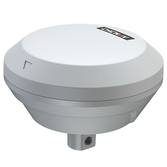
Precision implement guidance system designed to improve straight-line accuracy and row spacing for mounted…
- GNSS
- Full GNSS
- Precision max.
- ≤ 2.5 cm
- IMU
- Inside
UniStrong
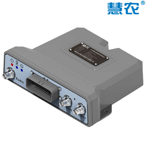
Assisted auto-steering device based on BeiDou satellite positioning technology, designed to achieve automatic direction…
- Positioning Accuracy
- DGPS / 30cm
- Heading Accuracy
- < 0.08° RMS @1.0M
- Timing (1PPS) Accuracy
- 20ns
