
All products
Every model we ship in one catalog, from RTK receivers and total stations to scanners and echo sounders. Filter by product line or brand to narrow the list.
2318models
18product lines
9brands
ComNav
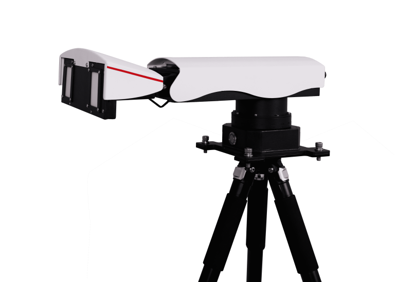
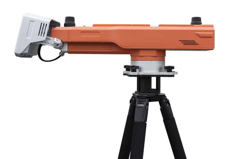
MS-SAR5000
Advanced slope stability monitoring radar developed by ComNav Technology Co., Ltd. This cutting-edge system…
ComNav
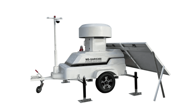
MS-SAR5300
Trailer-mounted radar monitoring station designed to adapt to dynamic monitoring needs in large open-pit…
- Model
- TA-H TA-L
- Voltage
- DC 5 ~ 30V
- Power
- Less than 5mA@12V
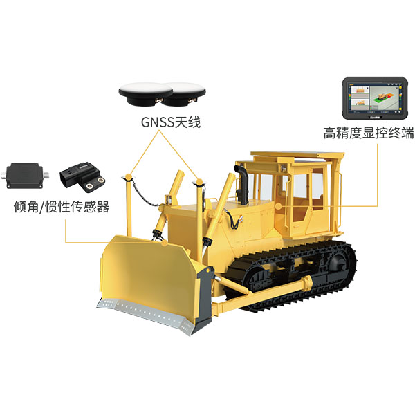
UniStrong
UBS Intelligent Bulldozer Machine Control System
The system utilizes BeiDou/GNSS and multi-sensor fusion technology to provide real-time 3D guidance and…
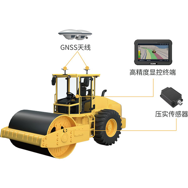
UniStrong
UCS Intelligent Roller Compaction System
The system utilizes BeiDou/GNSS and compaction sensor monitoring technology to acquire the high-precision 3D…
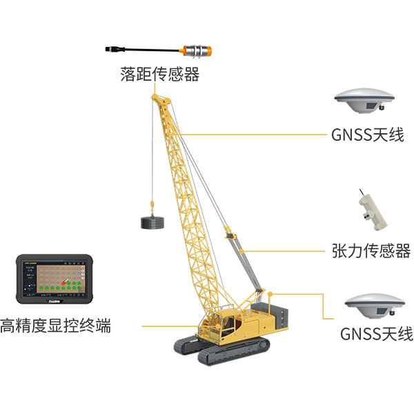
UniStrong
UDS Intelligent Dynamic Compaction System
Utilizing BeiDou/GNSS and multi-sensor fusion technology, the system records and calculates blow counts, drop…
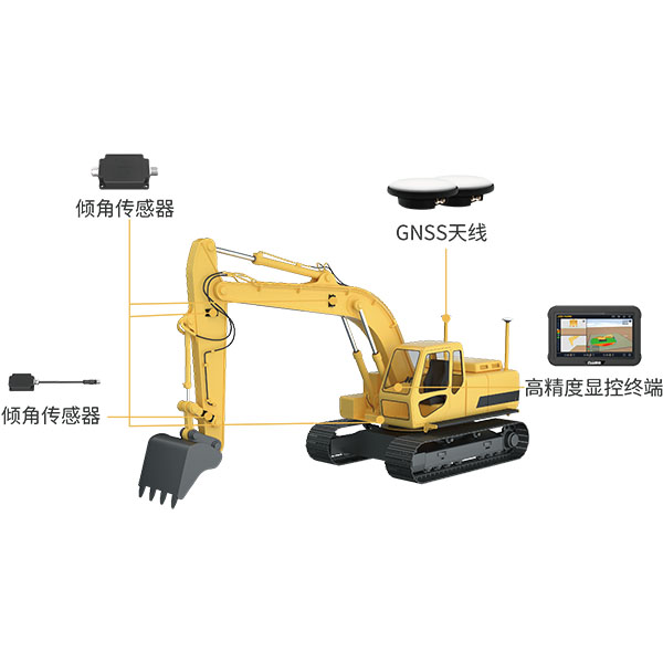
UniStrong
UES Intelligent Excavator Guidance and Control System
The system utilizes BeiDou/GNSS and multi-sensor fusion technology to provide real-time 3D guidance and…
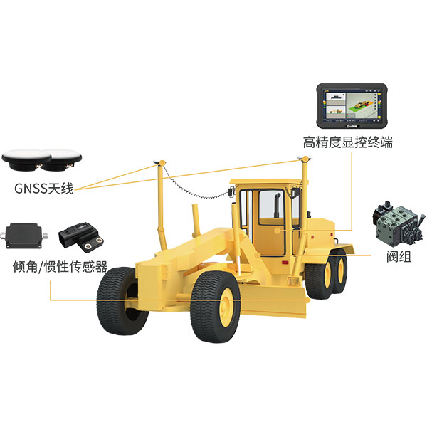
UniStrong
UGS Intelligent Motor Grader Machine Control System
The system utilizes BeiDou/GNSS technology combined with sensors and hydraulic control devices to deliver…
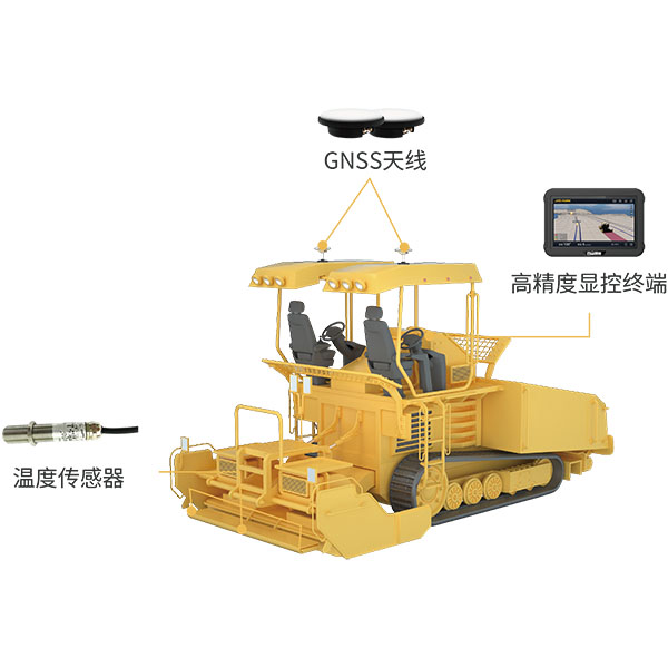
UniStrong
UPC Intelligent Paver Construction System
During paving operations, the intelligent paver guidance system utilizes BeiDou/GNSS equipment and infrared temperature…
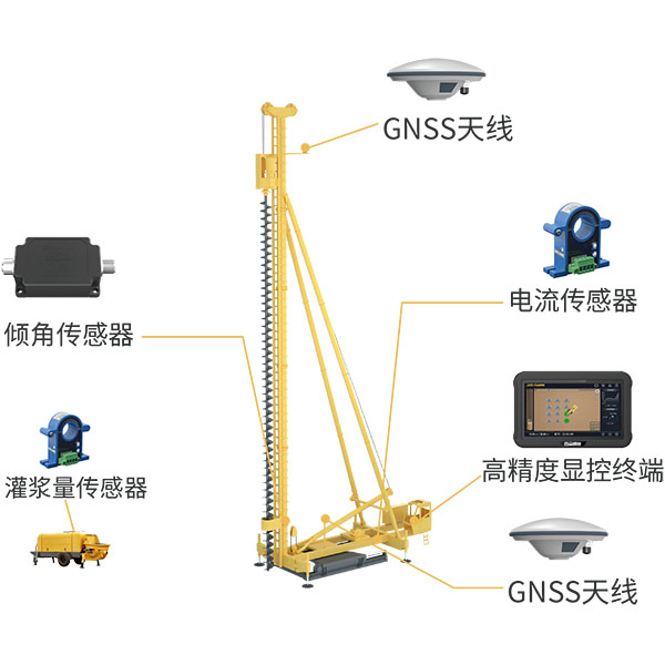
UniStrong
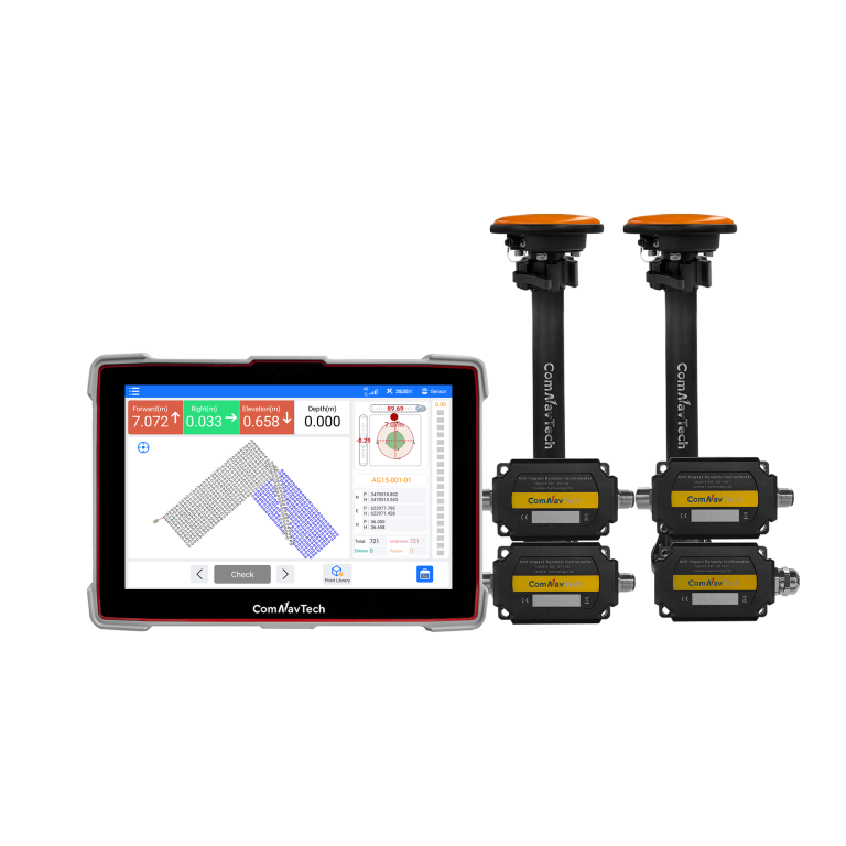
UPS Intelligent Piling Construction System
The system utilizes BeiDou/GNSS and multi-sensor fusion technology to obtain precise 3D position information…
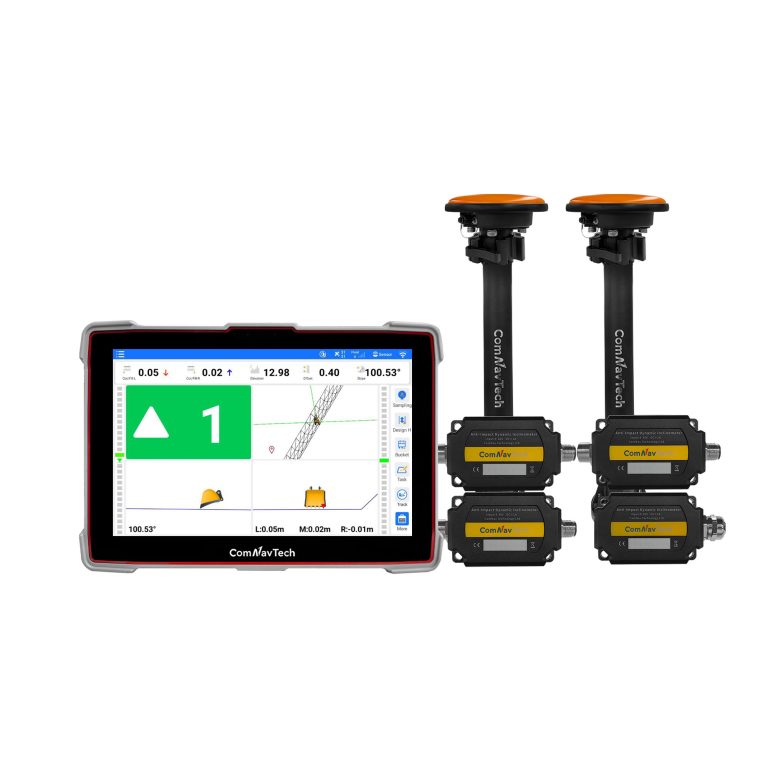
- Signal Tracking
- GLONASS: G1, G2, G3
- Signal Tracking
- SBAS
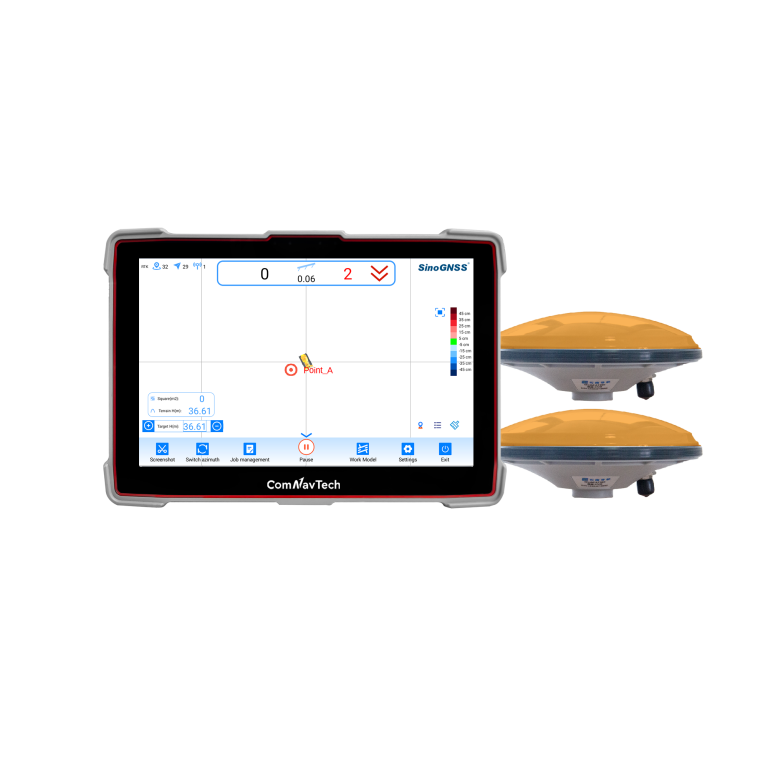
- Land Leveling Accuracy
- ≤3.0 cm
Not sure which model fits your job?
Tell us the work, the accuracy you need and your budget. An engineer replies with two or three options and prices within 24 hours.