AIDU
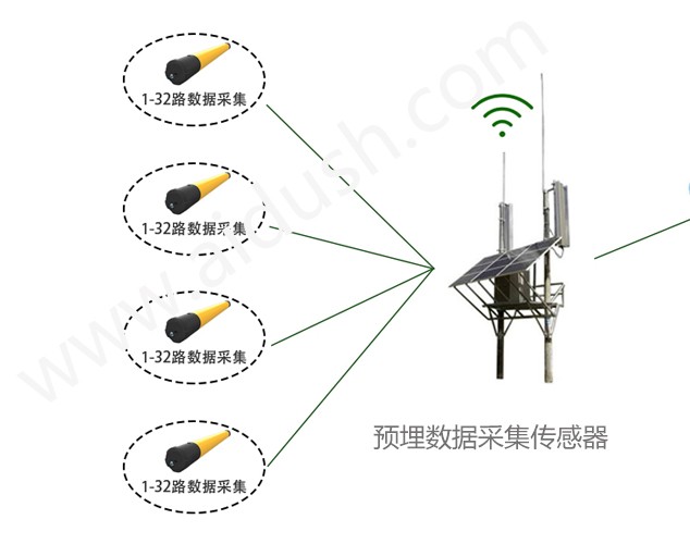
系统中安装在监测现场的ADMT系列堤坝管涌监测仪, 是我公司与桂林理工水文地质勘查研究院联合研制出的全球比较先进的无人值守的在线物探仪, 在线长时间观测,大数据分析解决天然电场随时变化的问题,获取稳定的场源,监测效果好,成本低。 监测数据可以正演、反演数据处理分析,也可以完全在线自动完成。本仪器通过测量天然电磁场的变化, 也可以接收发送机电场信号来了解地下电磁场的变化。通过对电场和电磁场的测量, 来判断空洞、动土、蚁穴、渗漏等广泛应用于文物保护、水利水电、堤坝水库、铁路桥梁、 矿山隧道、海洋边坡、基坑建筑等工程领域的安全监测。
UniStrong
Enterprise-grade, cross-platform, distributed, and highly secure database management system software with independent intellectual property…
- Specification
- Parameter
- Network Protocol
- Supports TCP/IP
- Clustering Modes
- Sharding, replication

UniStrong
Spatial Data Service System
CHCNAV
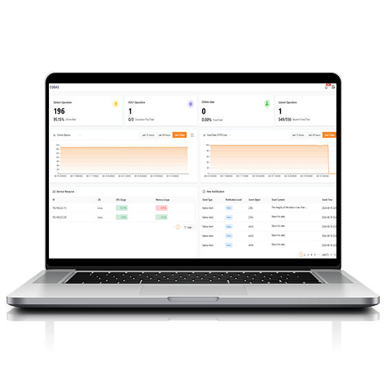
Comprehensive, server-based solution designed to manage and operate GNSS CORS and RTK networks on…
CHCNAV
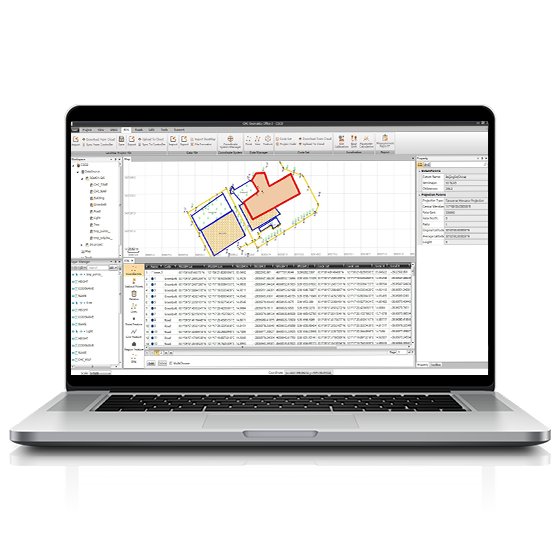
CGO software is designed to edit, process, and analyze GNSS data, delivering high-precision positioning…
- Operating system
- Windows
- Functions
- GNSS data processing
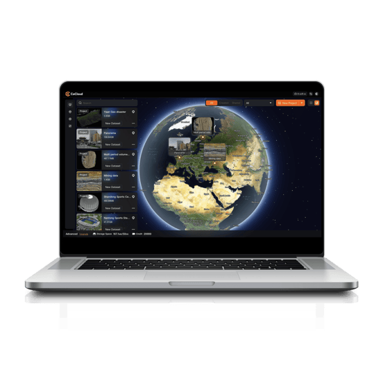
CHCNAV
Cloud-based 3D processing and visualization platform that transforms captured spatial data into 3D deliverables.…
- Operating system
- Cloud-Native
- File formats
- .zip
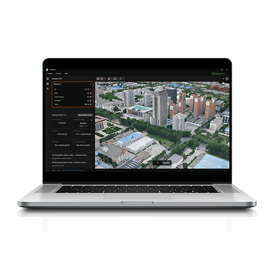
CHCNAV
CoMeta is professional photogrammetry and 3D modeling software for UAV mapping and large-scale 3D…
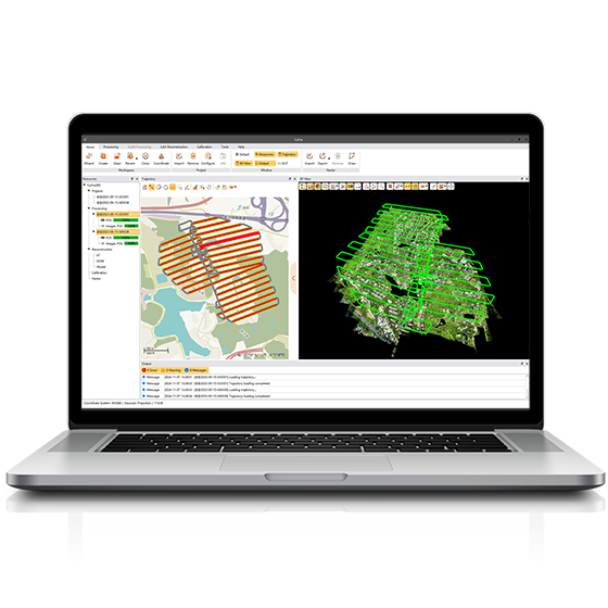
CHCNAV
Comprehensive LiDAR processing software developed by CHCNAV for efficient and accurate mobile geospatial data…
- Operating system
- Windows
- Languages
- English, Chinese
CHCNAV
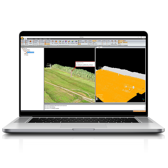
Professional point cloud processing software designed to convert large-scale LiDAR datasets into engineering-ready deliverables.…
CHCNAV
Powerful software solution tailored to the post-processing of massive point cloud data. It seamlessly…
- Operating system
- Windows
- Languages
- English, Chinese,
- File formats
- codata,las, and more.
CHCNAV
Explore Reality. Present with Clarity.
- Languages
- English, Chinese
FOIF
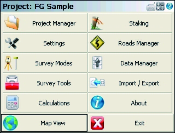
FOIF FieldGenius is professional surveying and mapping software, with user-friendly toolbars, powerful modules and…
FOIF
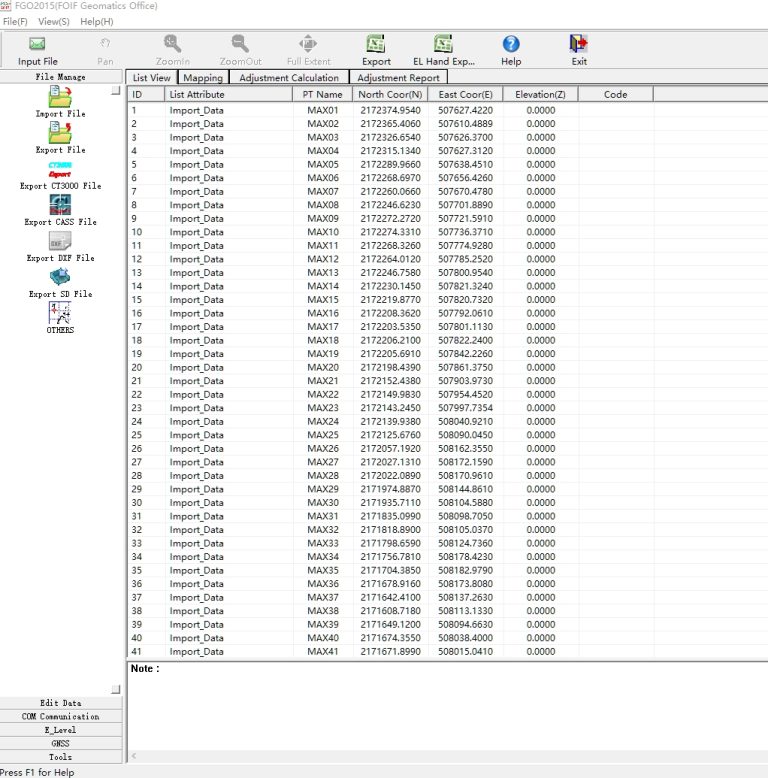
FGO can manage different instrument files in one platform.
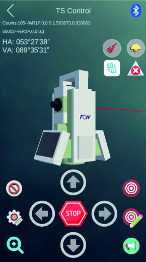
FOIF
Supports one man survey with remote control that the stable bluetooth connection can be…
UniStrong
Developed to meet the operational needs of various resource surveys and censuses, "JiZhiDiao" integrates…

UniStrong
Designed to meet the GIS spatial data collection needs of industries such as land…
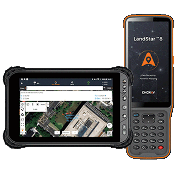
CHCNAV
Trusted data collection app for Android devices and CHCNAV controllers, streamlining high-precision surveying and…
- Operating system
- Android
- Languages
- Over 35 supported
- Device
- Bluetooth, Wi-Fi
UniStrong
Developed to meet user demands for positioning and data collection on mobile smart terminals,…
UniStrong
Designed to meet user demands for outdoor handheld navigation on mobile handheld terminals, this…

UniStrong
Based on the self-developed proprietary BeyonDB spatial database, the Multi-Source Data Management and Service…
CHCNAV
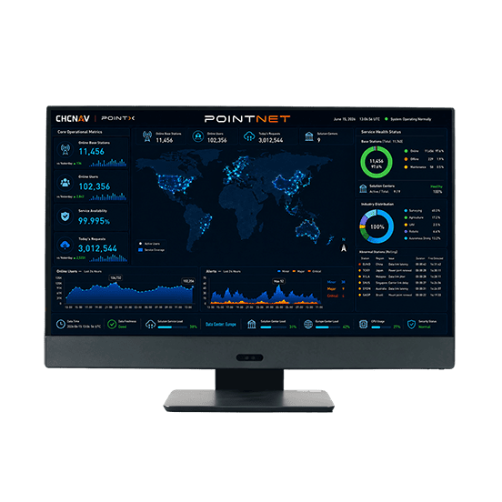
PointNet is CHC Navigation’s internet-based GNSS RTK correction service, delivering real-time centimeter-level positioning through…
- Availability
- 99.99%
- Concurrency
- >10⁶
- Delivery
- Cellular (Internet)
CHCNAV
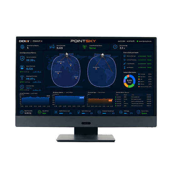
PointSky is CHC Navigation L-Band satellite-based GNSS correction service for high-accuracy real-time positioning without…
- Availability
- 99.9%
- Concurrency
- >10⁶
- Data Format
- Proprietary format
KOLIDA
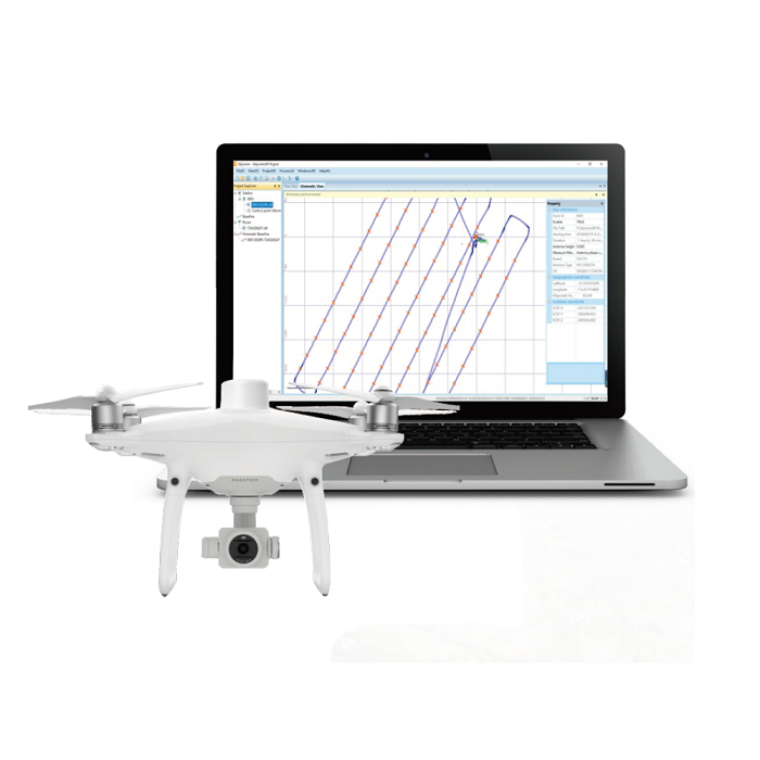
SkyLines is engineered to deal with the flight lines and compute precise aerial positional…
FOIF
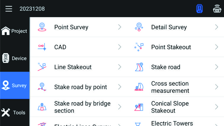
Outstanding surveying and mapping software with powerful functions, which can support GNSS mode and…
