CHCNAV
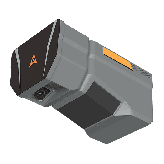
The CHCNAV AlphaAir 6 Dual (AA6D) airborne LiDAR system is designed for aerial surveying…
- Range
- 2100m @80%, 960m @10%
- FOV
- 90°
- Returns
- Up to 16
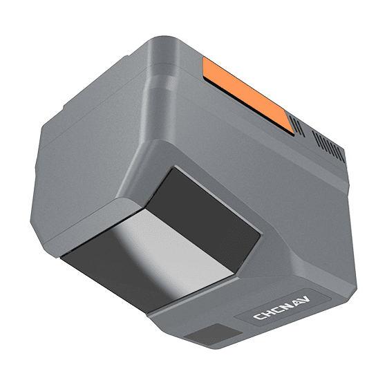
- Range
- 2100m @80%, 960m @10%
- Scanning rate
- 2,000,000 pulses/sec
- FOV
- 90°
CHCNAV
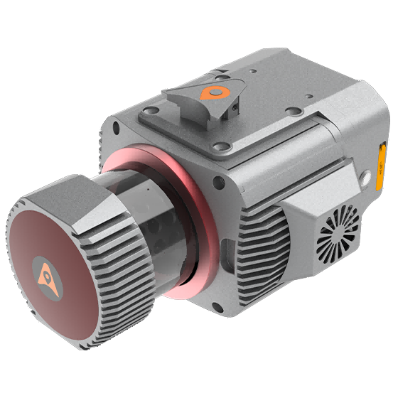
Multi-platform LiDAR system that combines a high-precision long-range laser scanner with Riegl's Waveform LiDAR…
- Range
- 1845 m
- Scanning rate
- 1.500.000 pulses/sec
- GNSS
- Full GNSS
CHCNAV
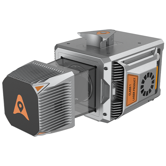
Cost-effective, premium-class multi-platform mobile mapping system that embodies CHCNAV's advanced LiDAR technology. Designed for…
- Range
- 1500 m
- Scanning rate
- 2.000.000 pulses/sec
- Field of view
- 360°
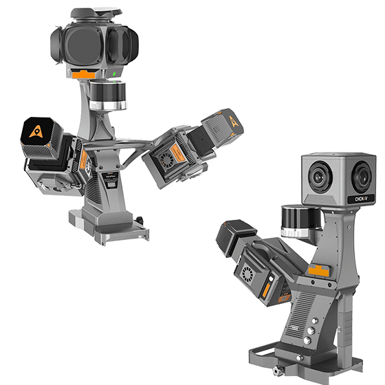
CHCNAV
High-precision mobile mapping system designed for vehicle-mounted applications. Its advanced LiDAR and AI-powered algorithms…
- Scanning rate
- 2.000.000 pulses/sec
- FOV
- 360°
- Returns
- Up to 16
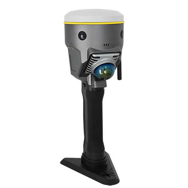
SOUTH
Laser scanners and LiDAR
- Model
- DotLas Plus
- Series
- RobotSLAM
- Dimension
- 120x120x340 mm (LxWxH)
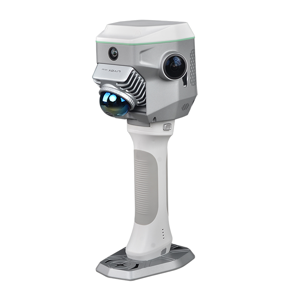
SOUTH
Laser scanners and LiDAR
- Dimension
- 13 x 147 x 138 mm
- Net Weight
- 1.38 kg
- Camera (for GNSS)
- 2MP x1 downward
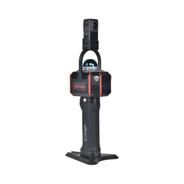
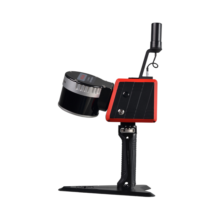
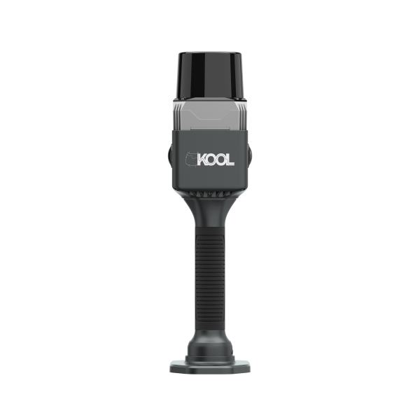
SOUTH
Laser scanners and LiDAR
- Laser Class
- Class-1 eye-safety
- Camera Lens
- 2x 12MP
- Fieldwork Control
- MapStar
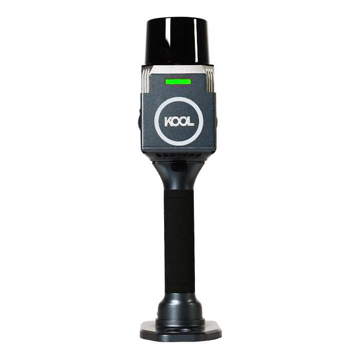
KOLIDA
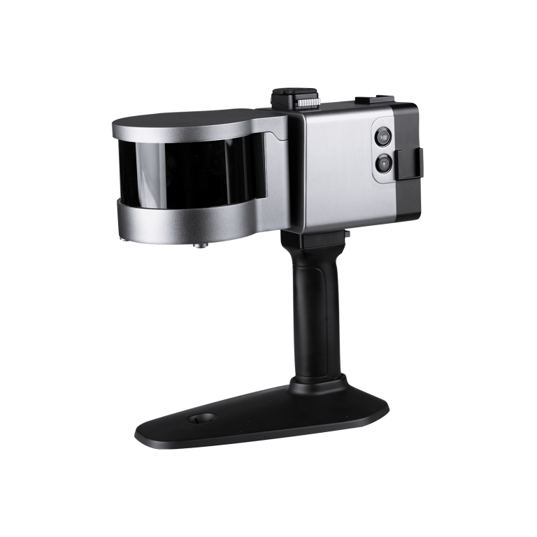
The KOOL is a highly efficient and cost-effective handheld 3D LiDAR scanner
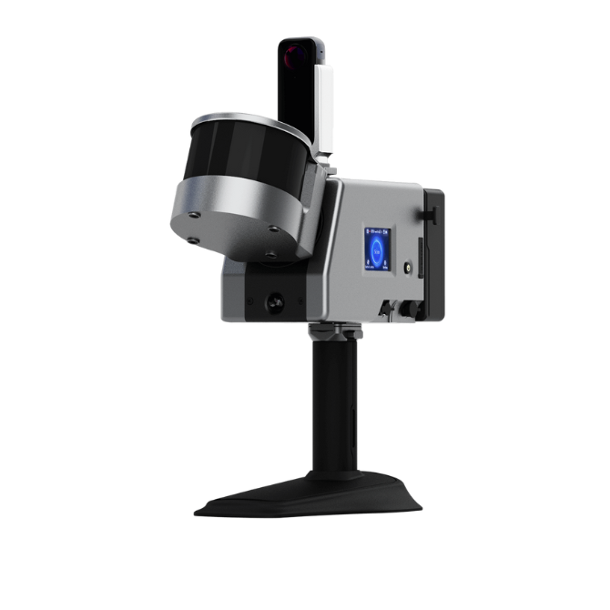
ComNav
Laser Scanner (End of Life)
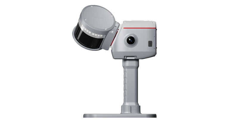
ComNav
Laser Scanner (End of Life)
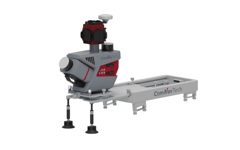
ComNav
Next-generation handheld 3D laser scanner that seamlessly combines advanced SLAM technology, a built-in RTK…
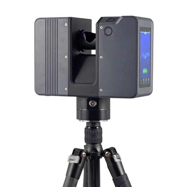
ComNav
Mobile Laser Scanning System
KOLIDA
Pulsed Precise Scan technology Scanning Range: 0.6 ~ 1500m Scanning Accuracy: 3mm @ 100m…
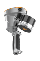
CHCNAV
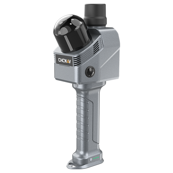
Handheld SLAM 3D laser scanner that integrates GNSS RTK, laser scanning, and visual SLAM…
- Channels
- 16 or 32
- Range
- 120 or 300 m
- GNSS
- Full GNSS
- Channels
- 64
- Range
- 40 m
- Returns
- Up to 2
CHCNAV
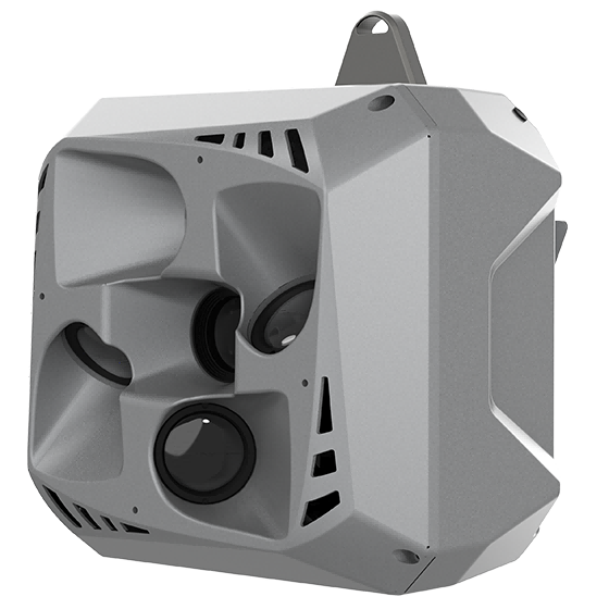
Professional, high performance aerial oblique camera system featuring a lightweight design and exceptional image…
- Resolution
- 26 MP x 5
- Focal length
- 25 mm / 35 mm
- Camera lenses
- 5
CHCNAV
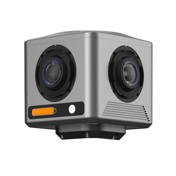
Compact industrial 360° camera optimized for flexible deployment, efficient integration, and professional mobile mapping…
- Focal length
- 4.8 mm
- Camera lenses
- 4
- Capture interval
- 0.2 s minimum
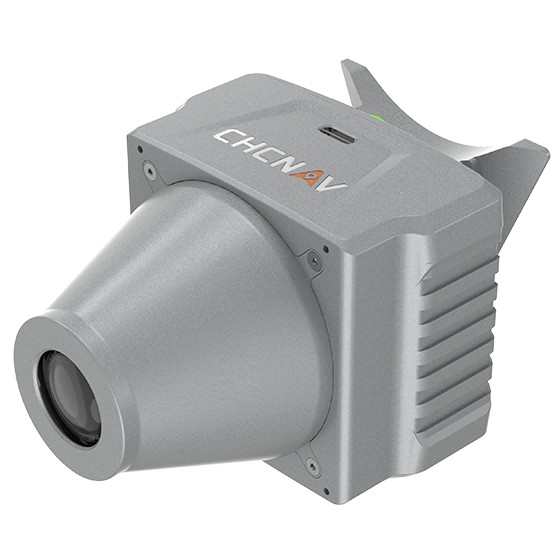
CHCNAV
Aerial orthographic camera system that delivers superior image quality for photogrammetric applications and LiDAR…
- Resolution
- 45 MP
- Focal length
- 35 mm
- Camera lenses
- 1
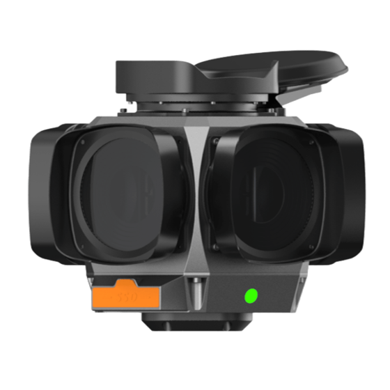
CHCNAV
The CHCNAV C7200 is high-resolution industrial 360° camera for applications requiring maximum image detail,…
- Focal length
- 6.5 mm
- Camera lenses
- 6
- Capture interval
- 0.1 s minimum
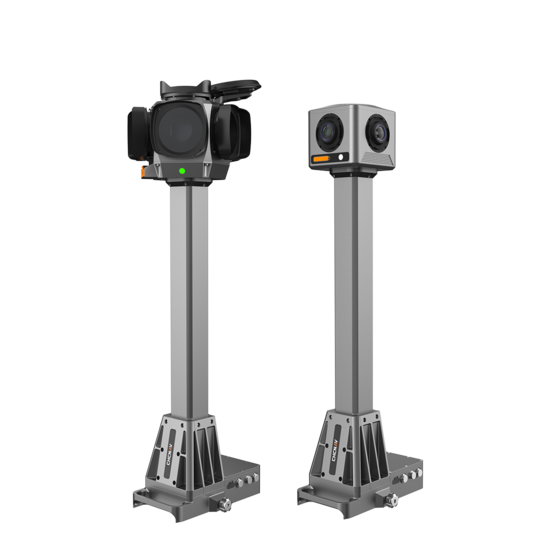
CHCNAV
Integrated mobile panoramic mapping system combining 360° imaging with high-precision positioning and orientation. Compatible…
- Camera lenses
- 4 (C4800) | 6 (C7200)
- Dimensions (C4800)
- 268 × 184 × 572 mm
- Dimensions (C7200)
- 291 × 264 × 651 mm
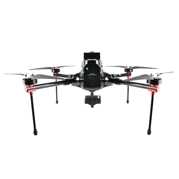
- Max. Service Ceiling
- 4000 m ASL
- Working Height
- typical 60-1000 m
- Cruising Speed
- max. 12 m/s
