ComNav
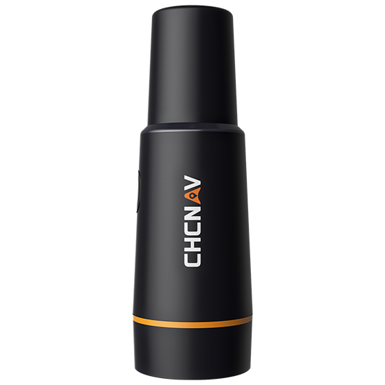
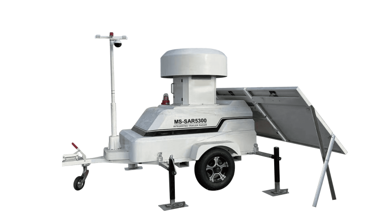
Trailer-mounted radar monitoring station designed to adapt to dynamic monitoring needs in large open-pit…
CHCNAV
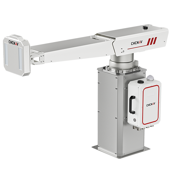
The PS-2000 Multi-point Deformation Monitoring System is designed for high-precision slope stability monitoring. Utilizing…
- Range
- 30 - 5000 m
- Field of view
- 360°
- Update rate
- 360° in 120 s
UniStrong
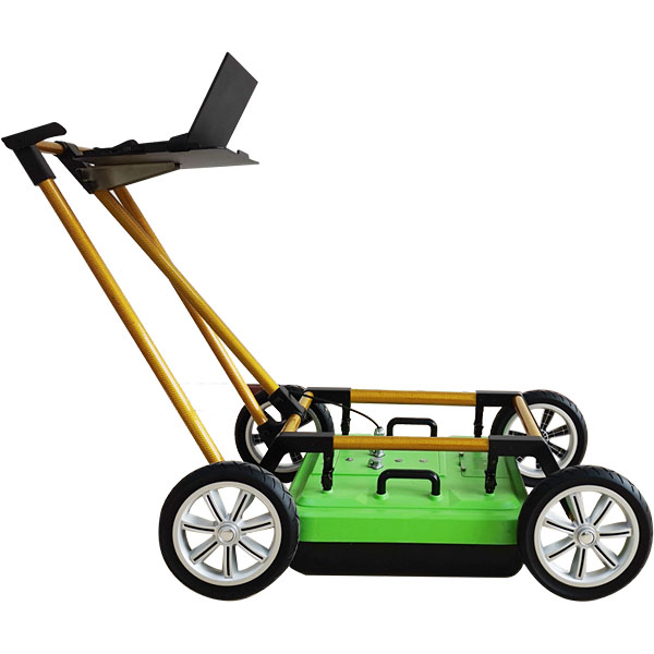
Pipeline Detection Radar
- Detection Depth
- 0 - 8 m
- Stacking
- 2 - 32,768 scans
- Operating Temperature
- -30°C to +70°C
UniStrong
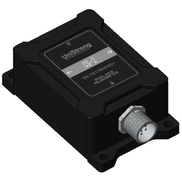
Compaction Sensor
- Parameter
- CS-2 / Unit
- Measuring Range
- ±10 / g
- Measurement Axes
- X, Y, Z / Axis
CHCNAV
The EasyNAV EMG100 2.5D Excavator System is a precise and user-friendly solution designed for…
- GNSS
- Full GNSS
- Precision max.
- ±3 cm
- Display
- 10.1", Android, IP65
UniStrong
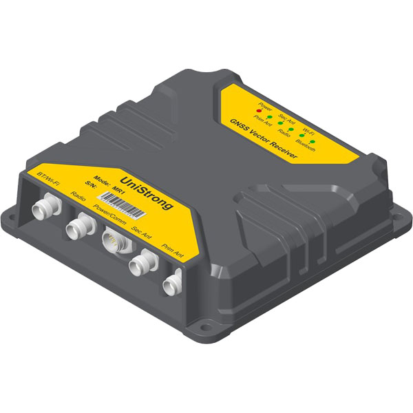
High-Precision Positioning and Heading Receiver
- GNSS Antenna Interface
- TNC x 2
- Update Rate
- 20 Hz
- Operating Temperature
- -40°C to +70°C
CHCNAV
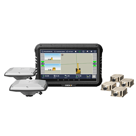
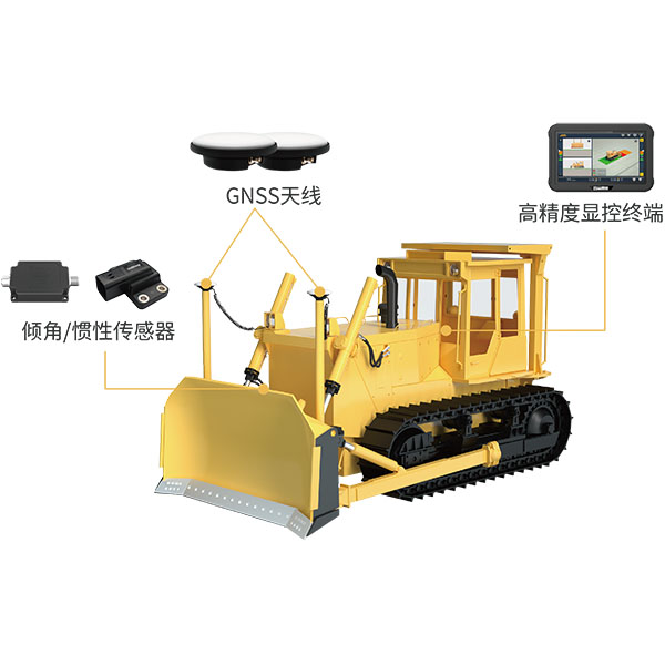
The TD63 PRO automatic 3D control system for dozers enhances the quality and efficiency…
- GNSS
- Full GNSS
- Precision max.
- 1 cm H / 1.5 cm V
- Display
- 10.1", Android, IP65
CHCNAV
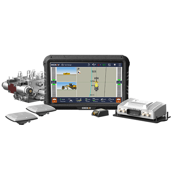
3D grade control system for graders that delivers automatic grader machine control on construction…
- GNSS
- Full GNSS
- Precision max.
- 1 cm H / 1.5 cm V
- Display
- 10.1", Android, IP65
CHCNAV
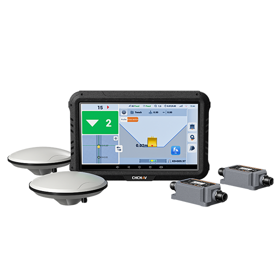
3D guidance system designed to enhance the efficiency of excavation work. Utilizing dual-GNSS modules,…
CHCNAV
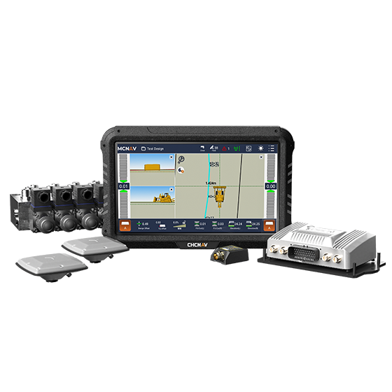
The MCNAV TX73 is a 3D excavator machine control system that combines advanced GNSS…
- GNSS
- Full GNSS
- Precision max.
- 1 cm H / 1.5 cm V
- Display
- 10.1", Android, IP65
UniStrong
The system utilizes BeiDou/GNSS and multi-sensor fusion technology to provide real-time 3D guidance and…
UniStrong
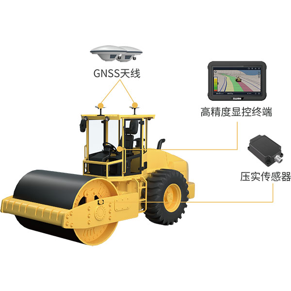
The system utilizes BeiDou/GNSS and compaction sensor monitoring technology to acquire the high-precision 3D…
UniStrong
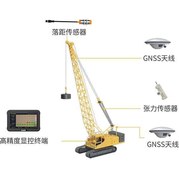
Utilizing BeiDou/GNSS and multi-sensor fusion technology, the system records and calculates blow counts, drop…
UniStrong
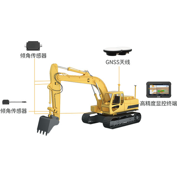
The system utilizes BeiDou/GNSS and multi-sensor fusion technology to provide real-time 3D guidance and…
UniStrong
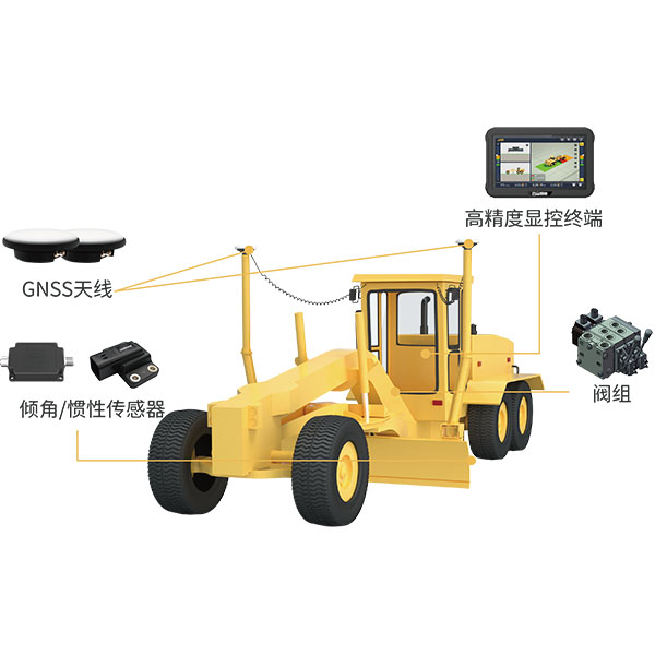
The system utilizes BeiDou/GNSS technology combined with sensors and hydraulic control devices to deliver…
UniStrong
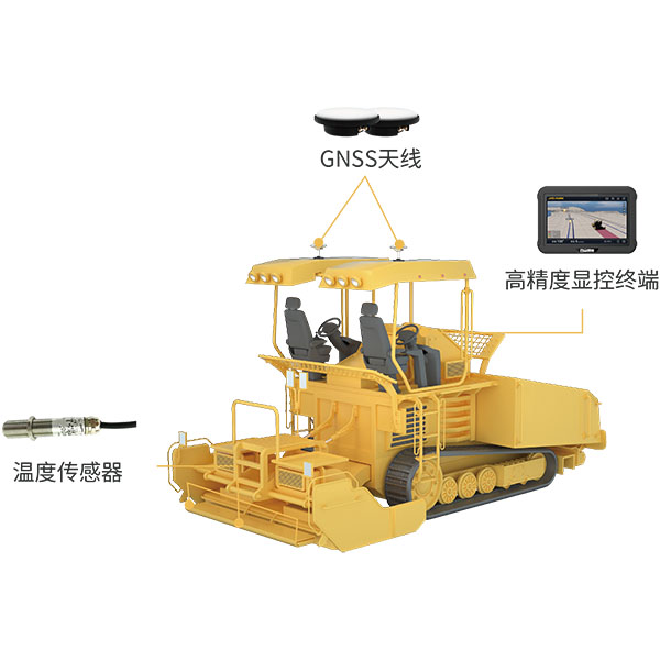
During paving operations, the intelligent paver guidance system utilizes BeiDou/GNSS equipment and infrared temperature…
UniStrong
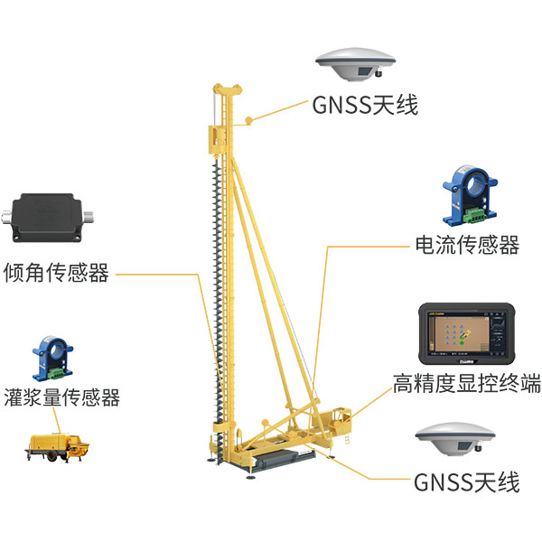
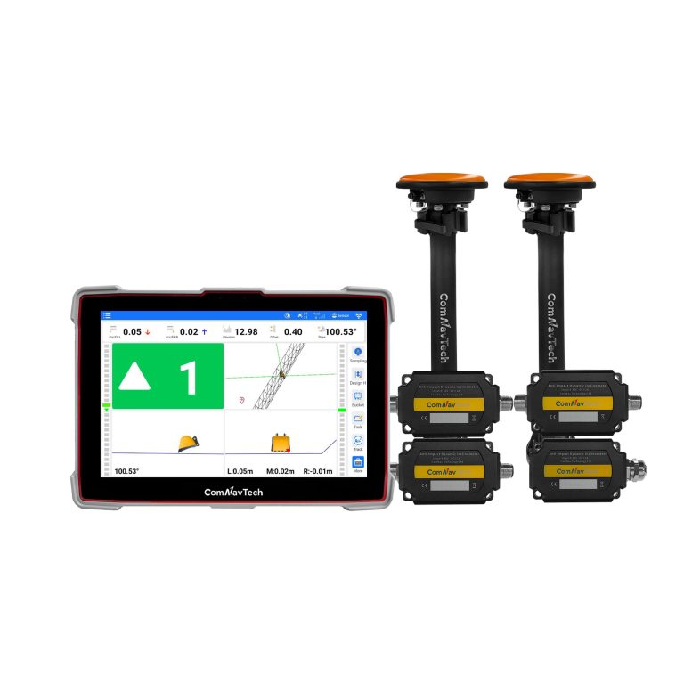
The system utilizes BeiDou/GNSS and multi-sensor fusion technology to obtain precise 3D position information…
- GPS
- L1C/A, L2C, L2P
- BDS
- B1I, B2I, B3I, B2b
- GLONASS
- G1, G2
ComNav
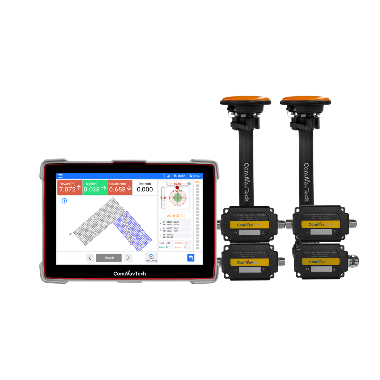
Advanced guidance system designed for high-precision piling operations. Engineered for all-weather performance, the XP300…
- GPS
- L1C/A, L2C, L2P
- BDS
- B1I, B2I, B3I, B2b
- GLONASS
- G1, G2
ComNav
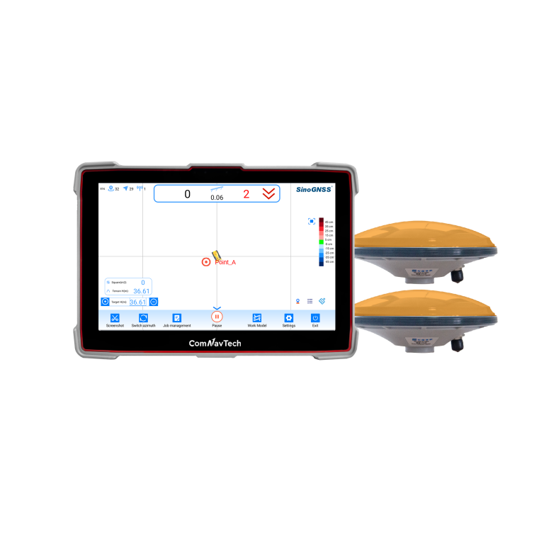
Professional guidance system for bulldozer leveling operationswhich independently developed and produced by ComNav Technology…
- Time accuracy
- 20ns
- Post processing
- 2.5mm+1ppm 5.0mm+1ppm
- Velocity Accuracy
- < 0.02m/s
UniStrong
BeiDou Satellite Land Leveling System
- Signal Tracking
- GLONASS: G1, G2, G3
- Signal Tracking
- SBAS
- Land Leveling Accuracy
- ≤3.0 cm
CHCNAV
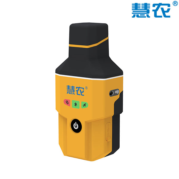
Portable GNSS receiver designed for use with CHCNAV auto steering systems. It integrates an…
- GNSS
- Full GNSS
- Precision max.
- ≤ 2.5 cm
- Display
- Mobile phone APP
UniStrong
High-Precision Handheld Positioning Terminal
- Velocity Accuracy
- ≤0.03m/s
- Channels
- 1408
- Internal Memory
- 8GB
UniStrong
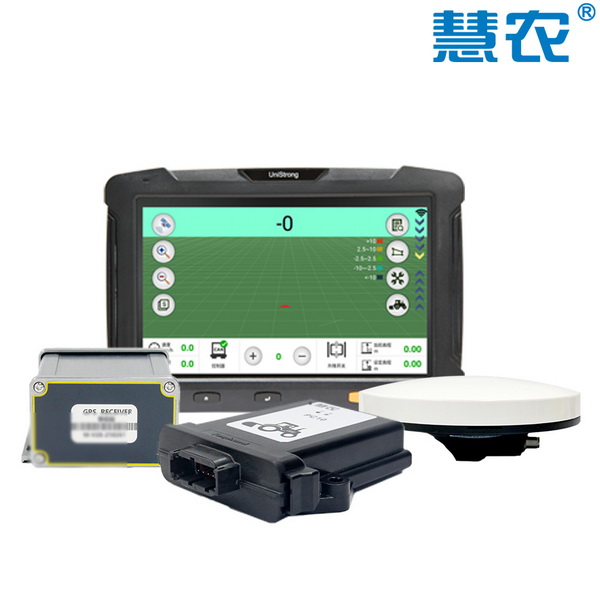
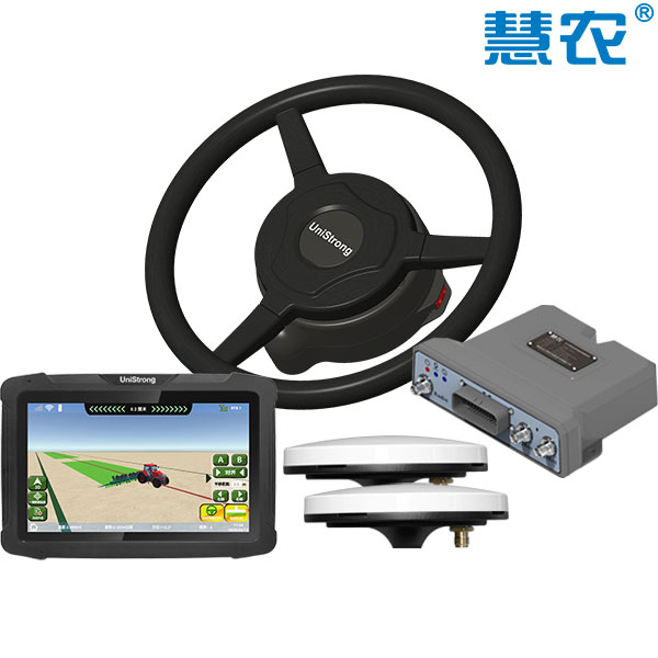
Electric Steering Wheel Auto-Steering System
- Straight-line accuracy
- ≤2.5cm
- Pass-to-pass accuracy
- ≤2.5cm
- Operating speed range
- 0.1~16km/h