All products

Every model we ship in one catalog, from RTK receivers and total stations to scanners and echo sounders. Filter by product line or brand to narrow the list.

2318models
18product lines
9brands
Showing 289 to 312 of 318

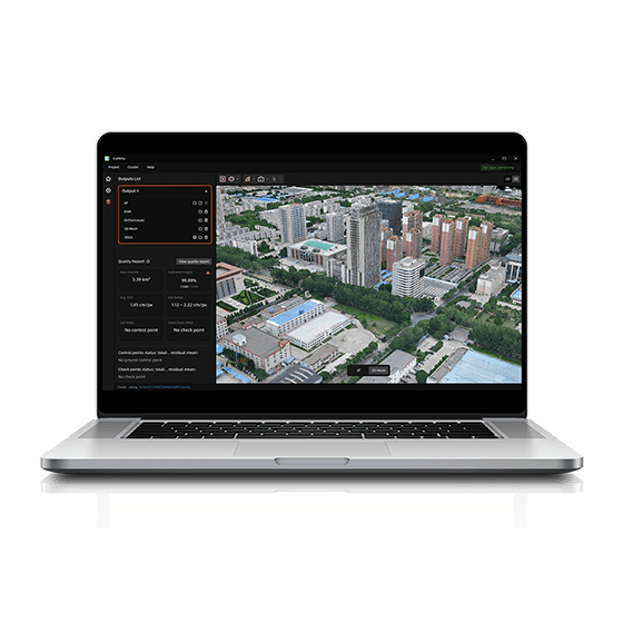
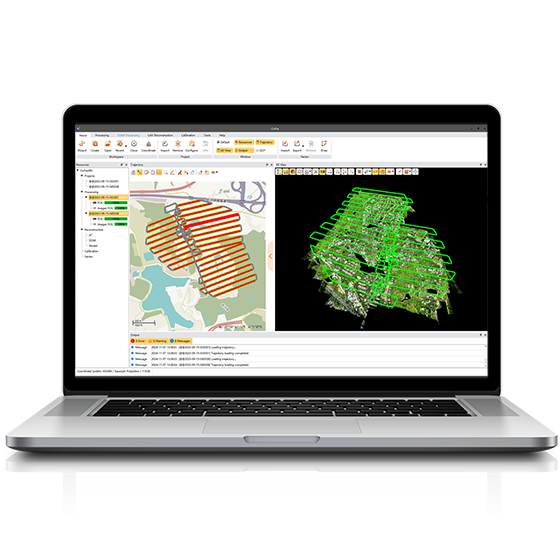
CHCNAV CoMeta
CHCNAV

CoMeta

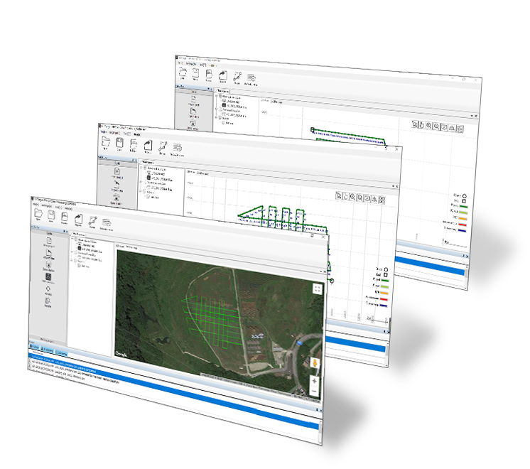
CoMeta is professional photogrammetry and 3D modeling software for UAV mapping and large-scale 3D…

CHCNAV CoPre
CHCNAV

CoPre

Comprehensive LiDAR processing software developed by CHCNAV for efficient and accurate mobile geospatial data…

Operating system
Windows
Languages
English, Chinese
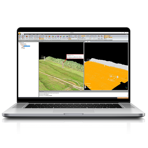
CHCNAV CoProcess
CHCNAV

CoProcess

Professional point cloud processing software designed to convert large-scale LiDAR datasets into engineering-ready deliverables.…

CHCNAV CoProcess Classic
CHCNAV

CoProcess Classic

Powerful software solution tailored to the post-processing of massive point cloud data. It seamlessly…

Operating system
Windows
Languages
English, Chinese,
File formats
codata,las, and more.
Hi-Target Hi-LiDAR
Hi-Target

Hi-LiDAR

3D laser point cloud processing software independently developed by Hi-Target. It is designed to…

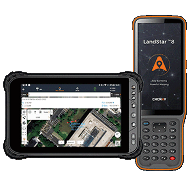
CHCNAV LandStar
CHCNAV

LandStar

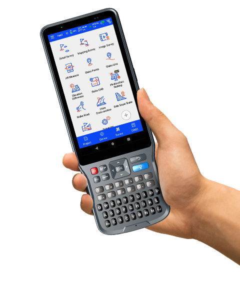
Trusted data collection app for Android devices and CHCNAV controllers, streamlining high-precision surveying and…

Operating system
Android
Languages
Over 35 supported
Device
Bluetooth, Wi-Fi
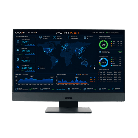
CHCNAV PointNet
CHCNAV

PointNet

PointNet is CHC Navigation’s internet-based GNSS RTK correction service, delivering real-time centimeter-level positioning through…

Availability
99.99%
Concurrency
>10⁶
Delivery
Cellular (Internet)
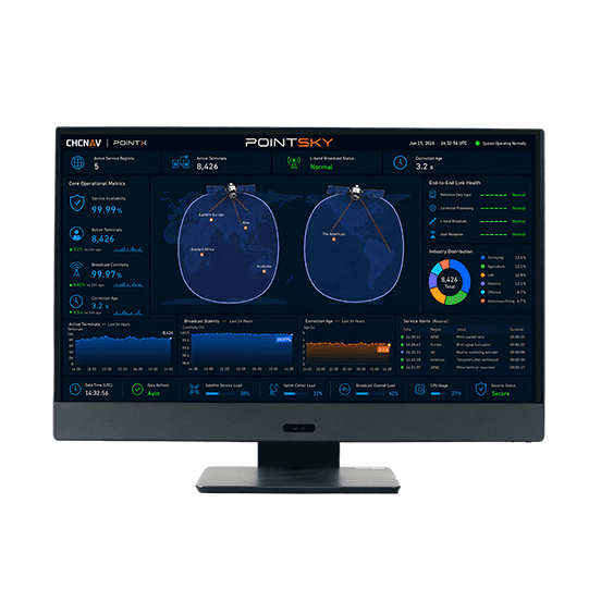
CHCNAV PointSky
CHCNAV

PointSky

PointSky is CHC Navigation L-Band satellite-based GNSS correction service for high-accuracy real-time positioning without…

Availability
99.9%
Concurrency
>10⁶
Data Format
Proprietary format
UniStrong V3.0 Imagery Database Management System
UniStrong

V3.0

Imagery Database Management System

Specification
Parameter
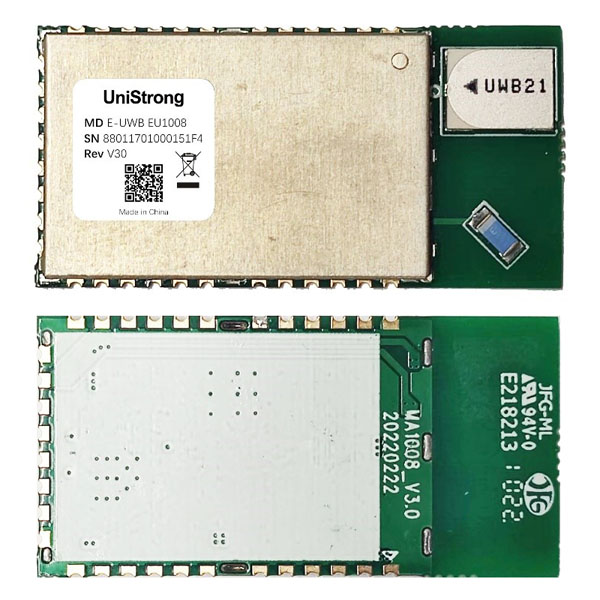
UniStrong EU1008 High-Precision Indoor Positioning Module
UniStrong

EU1008

Compact positioning module developed by UniStrong based on Enhanced Ultra-Wideband (E-UWB) technology. Designed for…

Dimensions
20*40*2.45 mm
Package
32-pin LCC stamp hole
Antenna Type
Ceramic antenna
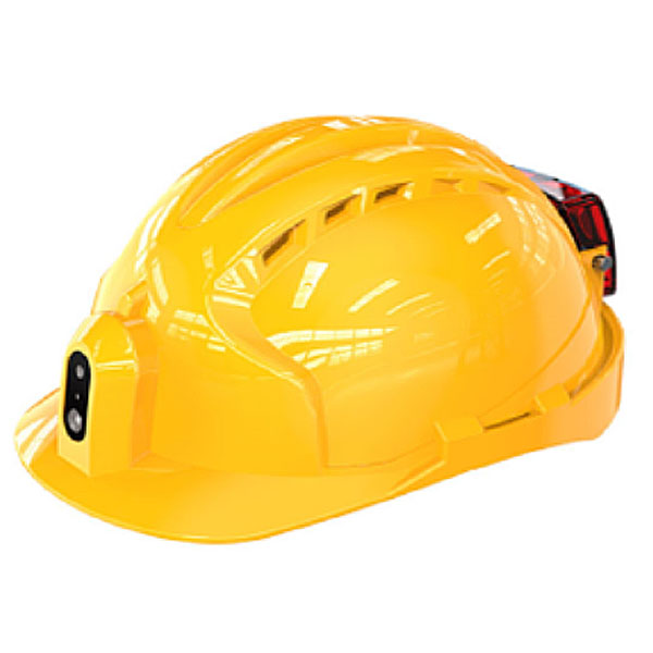
UniStrong LH-2000 BeiDou Video Smart Helmet
UniStrong

LH-2000

BeiDou Video Smart Helmet

Processor
Quad-core A53, 1.4 GHz
Memory Configuration
1GB+8GB or 2GB+16GB
SIM Card
Nano-SIM slot and eSIM
UniStrong LH1000 BeiDou Positioning Smart Safety Helmet
UniStrong

LH1000

BeiDou Positioning Smart Safety Helmet

Specifications
Description
Communication Standard
Wi-Fi
Standby Time
15 days
UniStrong MT-1000 BeiDou 4G Positioning Tag
UniStrong

MT-1000

BeiDou 4G Positioning Tag

Bluetooth Mode
Supports Bluetooth 5.0
Ingress Protection
IP65
Standby Time
≥7 days
UniStrong US200B-IN Indoor Positioning Base Station
UniStrong

US200B-IN

Indoor Positioning Base Station

Dimensions
150*150*60mm
Enclosure Material
PC
Power Supply
PoE, USB (5V)
UniStrong US200B-OT Multi-Mode Multi-Function Micro Base Station
UniStrong

US200B-OT

Multi-Mode Multi-Function Micro Base Station

Module
Wi-Fi + UWB dual-mode
Positioning Accuracy
≤50cm
Coverage Range
Better than 200 m
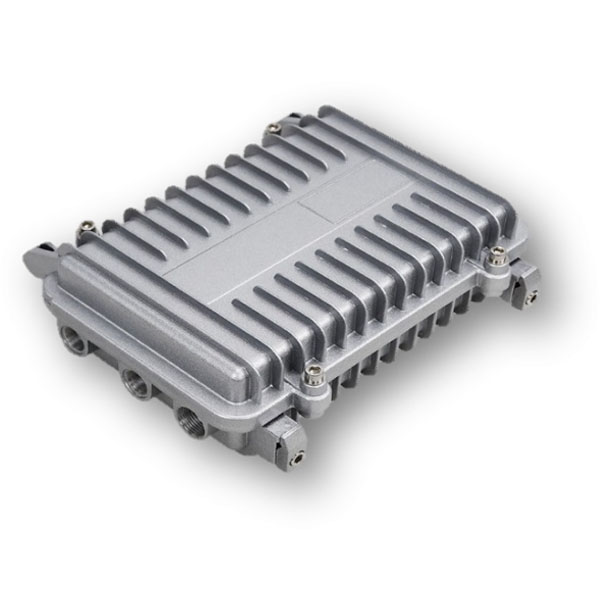
UniStrong US200B-OT Outdoor Positioning Base Station
UniStrong

US200B-OT

Outdoor Positioning Base Station

Dimensions
210*130*60mm
Housing Material
Aluminum alloy
Power Supply
PoE

Not sure which model fits your job?

Tell us the work, the accuracy you need and your budget. An engineer replies with two or three options and prices within 24 hours.