
All products
Every model we ship in one catalog, from RTK receivers and total stations to scanners and echo sounders. Filter by product line or brand to narrow the list.
2318models
18product lines
9brands
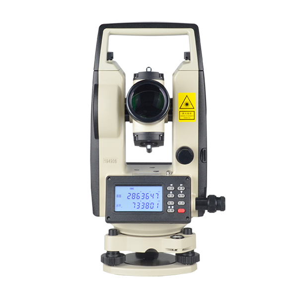
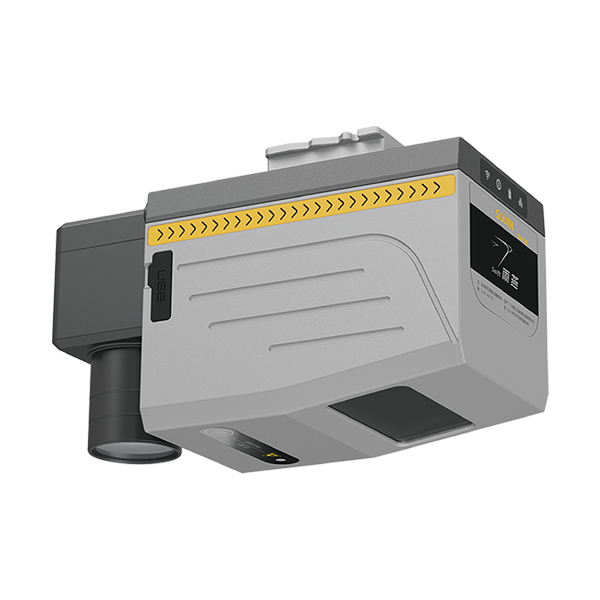
- product name
- SA130
- dimensions
- 164*102*138.3 mm
- weight
- 2 kg
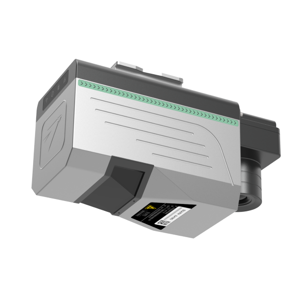
- Weight
- 1.3kg
- System Accuracy
- 5 cm @ 300m【1】
- Ingress Protection
- IP64
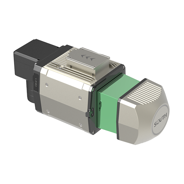
- Typ. flying height
- 120m | 200m | 250m
- Measurement rate
- max.800,000 pts/sec
- Scanning FOV
- up to 360° *2
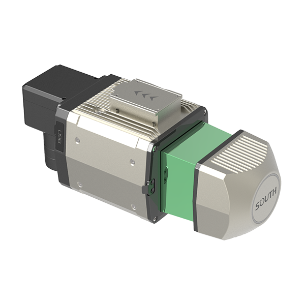
- Typ. flying height
- 120m | 200m | 250m
- Measurement rate
- max.800,000 pts/sec
- Scanning FOV
- up to 360° *2
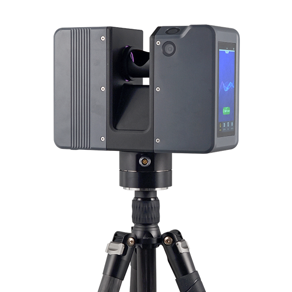
- Series
- AcuteLas
- Scan FOV
- 360° (H) x 300° (V)
- Scan Rate
- 2,000,000 pts/sec max.
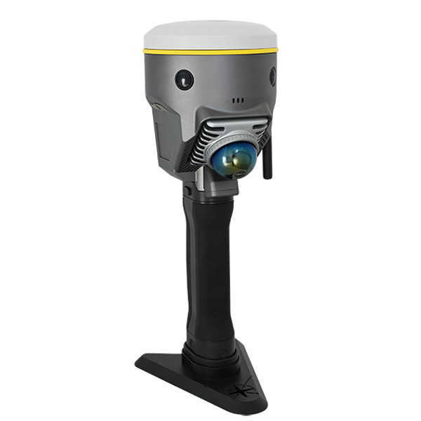
- Model
- DotLas Plus
- Series
- RobotSLAM
- Dimension
- 120x120x340 mm (LxWxH)
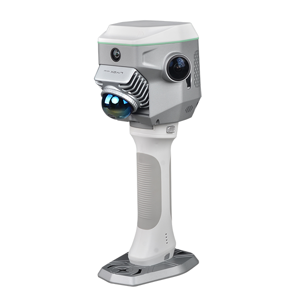
- Dimension
- 13 x 147 x 138 mm
- Net Weight
- 1.38 kg
- Camera (for GNSS)
- 2MP x1 downward
- Laser Class
- Class-1 eye-safety
- Camera Lens
- 2x 12MP
- Fieldwork Control
- MapStar
UniStrong
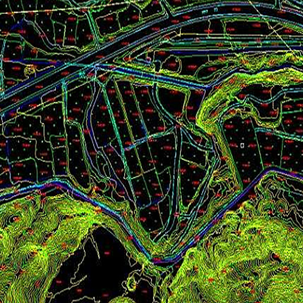
DLG Digital Line Graph
The Digital Line Graph (DLG) is a map format that provides convenient zooming, panning,…
- Data Format
- DWG, DXF, SHP, mdb
UniStrong
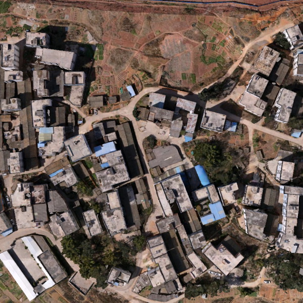
DOM Digital Orthophoto Map
Digital Orthophoto Map (DOM) refers to image data generated by performing pixel-by-pixel rectification on…
- Data Format
- TIF, JPG, IMG, PNG
UniStrong
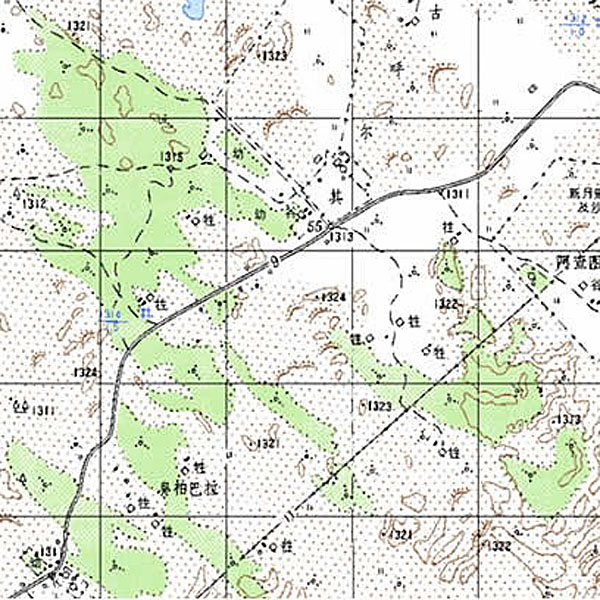
DRG Digital Raster Graphic
Digital Raster Graphic (DRG) is a digitized product of paper topographic maps. After scanning,…
Not sure which model fits your job?
Tell us the work, the accuracy you need and your budget. An engineer replies with two or three options and prices within 24 hours.