
CHCNAV
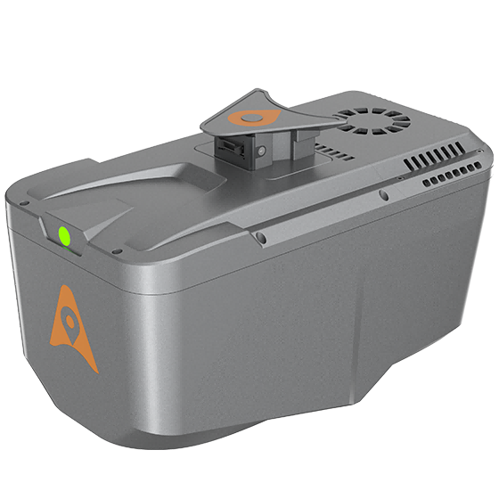
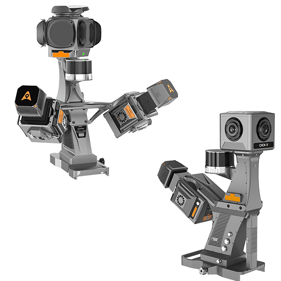
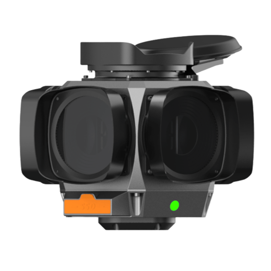
AlphaAir 10
Professional airborne LiDAR+RGB system designed to meet the demanding requirements of UAV LiDAR mapping…
- Range
- 800 m
- Scanning rate
- 500.000 pulses/sec
- Field of view
- 75°
Authorized distributor of original survey instruments·Dispatch in 3 to 7 working days·DDP / CIF / FOB
Every model we ship in one catalog, from RTK receivers and total stations to scanners and echo sounders. Filter by product line or brand to narrow the list.
Showing 97 to 120 of 433
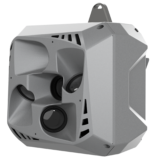
Professional airborne LiDAR+RGB system designed to meet the demanding requirements of UAV LiDAR mapping…
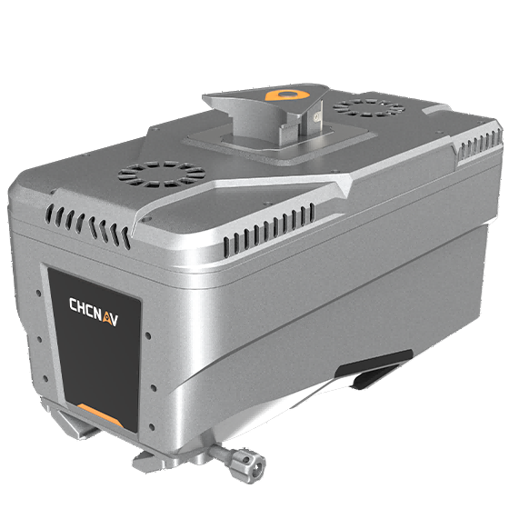
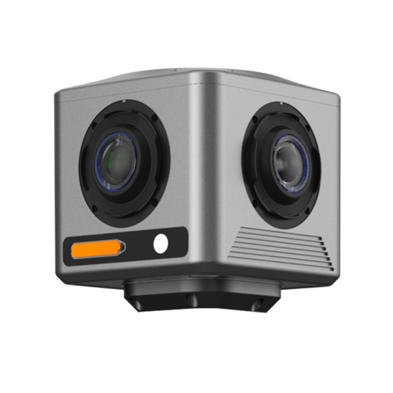
Lightweight, high-performance airborne LiDAR system designed for large-scale operations where high-density data capture is…
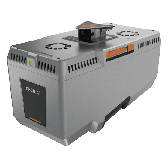
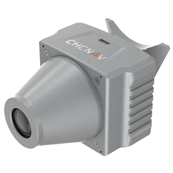
Premium airborne LiDAR system for large-area geospatial data capture. With up to 3,200 m…
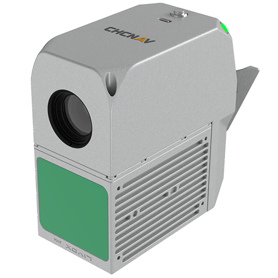
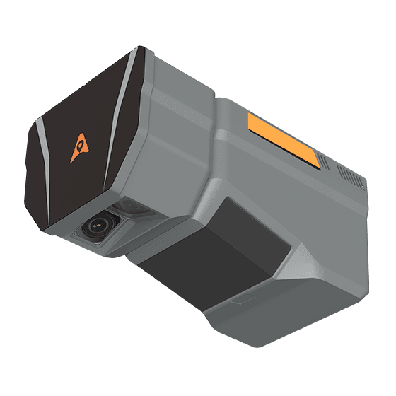
The CHCNAV AlphaAir 6 Dual (AA6D) airborne LiDAR system is designed for aerial surveying…
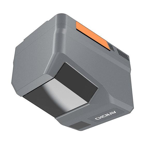
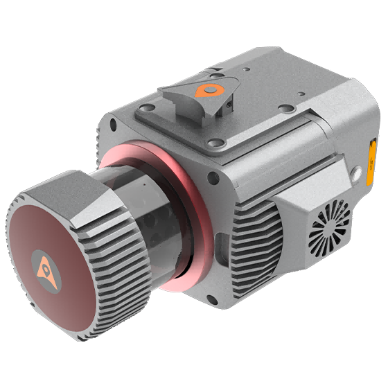
Multi-platform LiDAR system that combines a high-precision long-range laser scanner with Riegl's Waveform LiDAR…
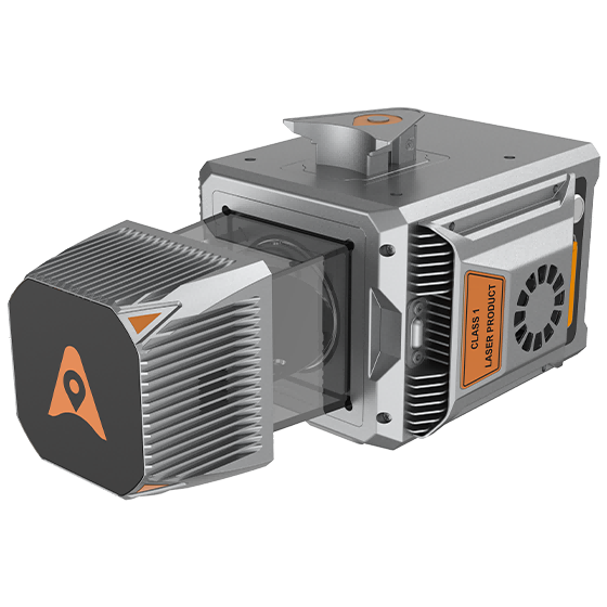
Cost-effective, premium-class multi-platform mobile mapping system that embodies CHCNAV's advanced LiDAR technology. Designed for…
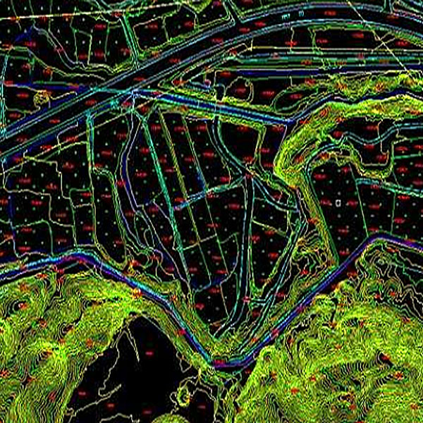
The Digital Line Graph (DLG) is a map format that provides convenient zooming, panning,…
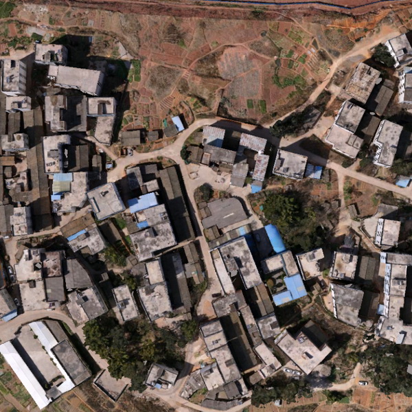
Digital Orthophoto Map (DOM) refers to image data generated by performing pixel-by-pixel rectification on…
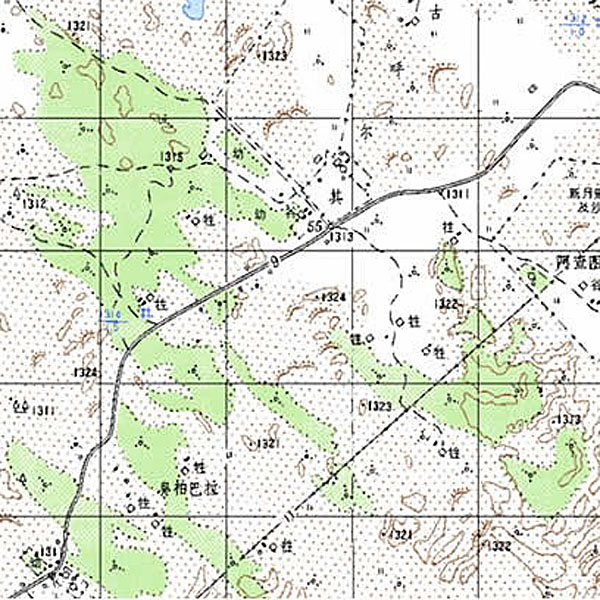
Digital Raster Graphic (DRG) is a digitized product of paper topographic maps. After scanning,…
Tell us the work, the accuracy you need and your budget. An engineer replies with two or three options and prices within 24 hours.