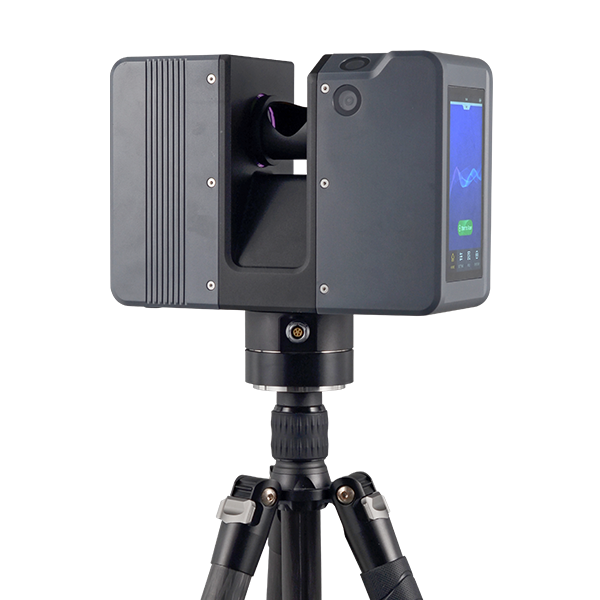
SOUTH
Laser scanners and LiDAR
- Series
- AcuteLas
- Scan FOV
- 360° (H) x 300° (V)
- Scan Rate
- 2,000,000 pts/sec max.
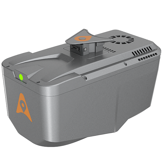
CHCNAV
Professional airborne LiDAR+RGB system designed to meet the demanding requirements of UAV LiDAR mapping…
- Range
- 800 m
- Scanning rate
- 500.000 pulses/sec
- Field of view
- 75°
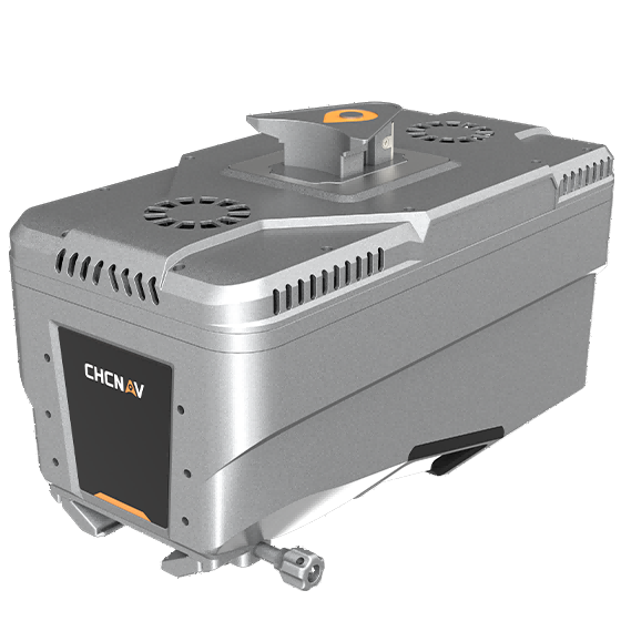
CHCNAV
Lightweight, high-performance airborne LiDAR system designed for large-scale operations where high-density data capture is…
- Range
- 1800 m
- Scanning rate
- 2.000.000 pulses/sec
- Field of view
- 75°
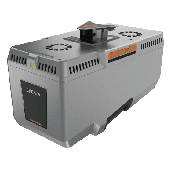
CHCNAV
Premium airborne LiDAR system for large-area geospatial data capture. With up to 3,200 m…
- Scanning rate
- 2,400,000 pulses/sec
- Field of view
- 75°
- Returns
- Up to 16
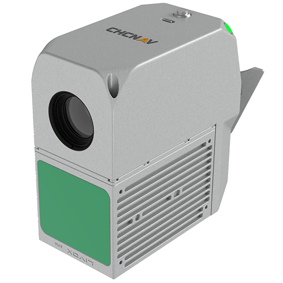
- Range
- 450 m
- Field of view
- 70.4°
- Returns
- Up to 3
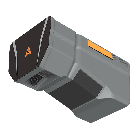
CHCNAV
The CHCNAV AlphaAir 6 Dual (AA6D) airborne LiDAR system is designed for aerial surveying…
- Range
- 2100m @80%, 960m @10%
- FOV
- 90°
- Returns
- Up to 16
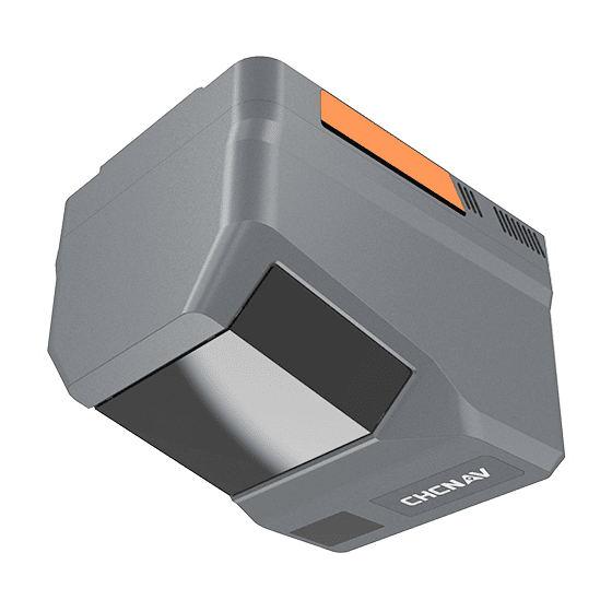
- Range
- 2100m @80%, 960m @10%
- Scanning rate
- 2,000,000 pulses/sec
- FOV
- 90°
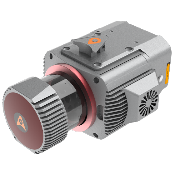
CHCNAV
Multi-platform LiDAR system that combines a high-precision long-range laser scanner with Riegl's Waveform LiDAR…
- Range
- 1845 m
- Scanning rate
- 1.500.000 pulses/sec
- GNSS
- Full GNSS
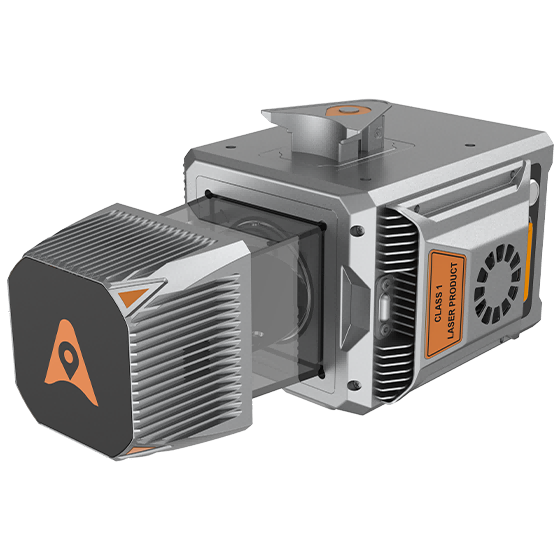
CHCNAV
Cost-effective, premium-class multi-platform mobile mapping system that embodies CHCNAV's advanced LiDAR technology. Designed for…
- Range
- 1500 m
- Scanning rate
- 2.000.000 pulses/sec
- Field of view
- 360°
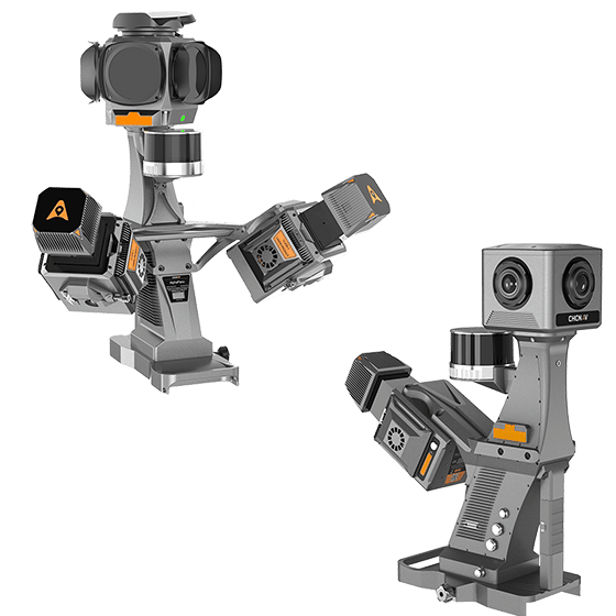
CHCNAV
High-precision mobile mapping system designed for vehicle-mounted applications. Its advanced LiDAR and AI-powered algorithms…
- Scanning rate
- 2.000.000 pulses/sec
- FOV
- 360°
- Returns
- Up to 16
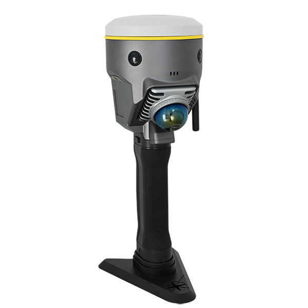
SOUTH
Laser scanners and LiDAR
- Model
- DotLas Plus
- Series
- RobotSLAM
- Dimension
- 120x120x340 mm (LxWxH)
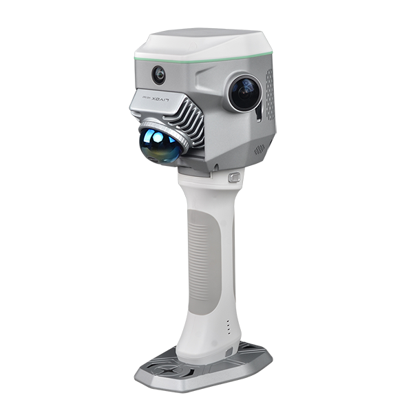
SOUTH
Laser scanners and LiDAR
- Dimension
- 13 x 147 x 138 mm
- Net Weight
- 1.38 kg
- Camera (for GNSS)
- 2MP x1 downward
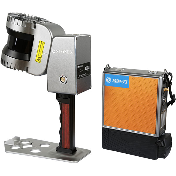
UniStrong
Portable handheld 3D laser scanner co-developed by Stonex and the European STONEX team. Powered…
- Max Range
- 120m
- Channels
- 32-line
- Scan Rate
- 655,000 pts/s
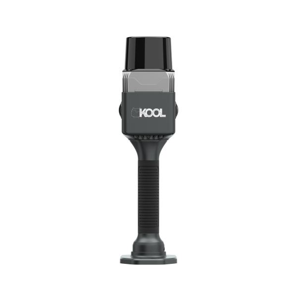
SOUTH
Laser scanners and LiDAR
- Laser Class
- Class-1 eye-safety
- Camera Lens
- 2x 12MP
- Fieldwork Control
- MapStar
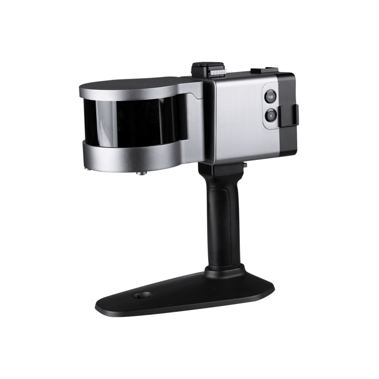
ComNav
Laser Scanner (End of Life)
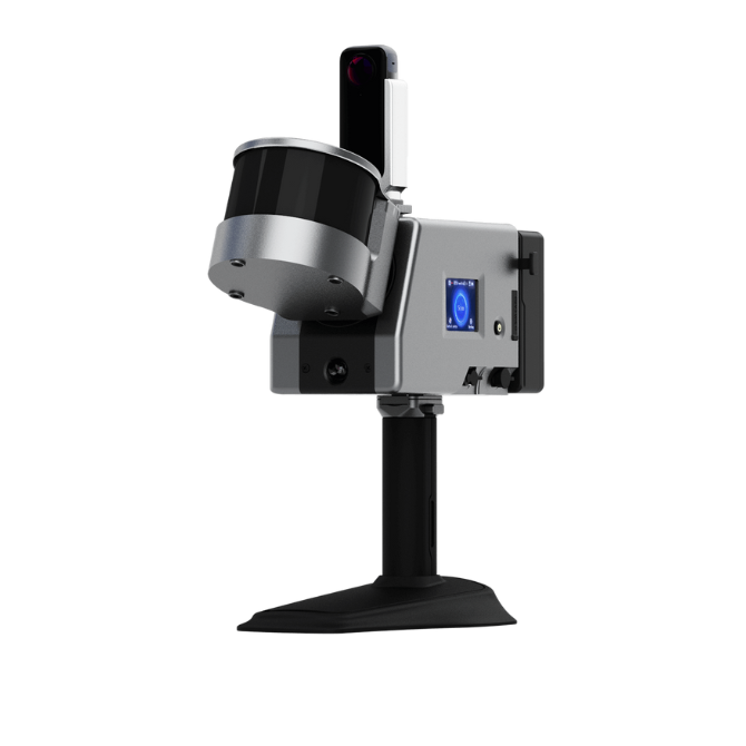
ComNav
Laser Scanner (End of Life)
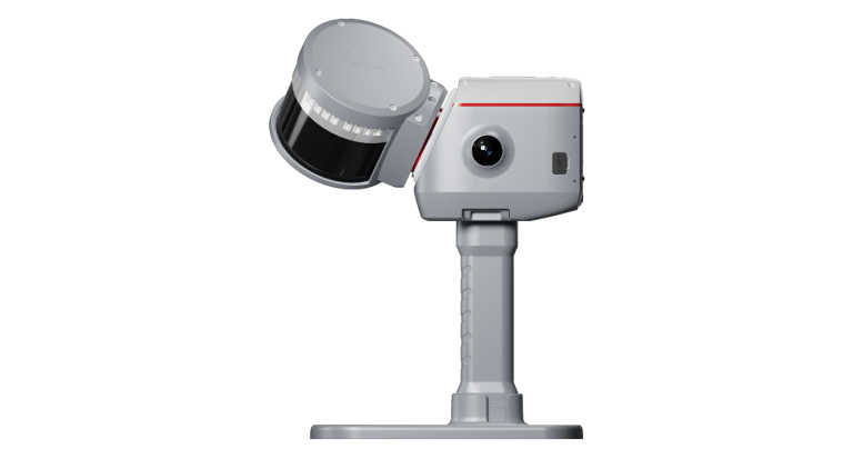
ComNav
Next-generation handheld 3D laser scanner that seamlessly combines advanced SLAM technology, a built-in RTK…
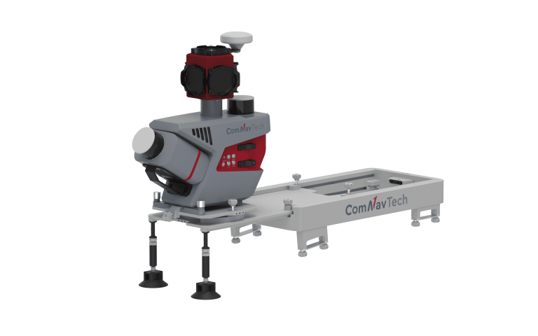
ComNav
Mobile Laser Scanning System
CHCNAV
Handheld SLAM 3D laser scanner that integrates GNSS RTK, laser scanning, and visual SLAM…
- Channels
- 16 or 32
- Range
- 120 or 300 m
- GNSS
- Full GNSS
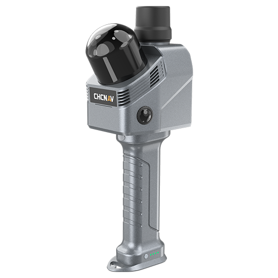
- Channels
- 64
- Range
- 40 m
- Returns
- Up to 2
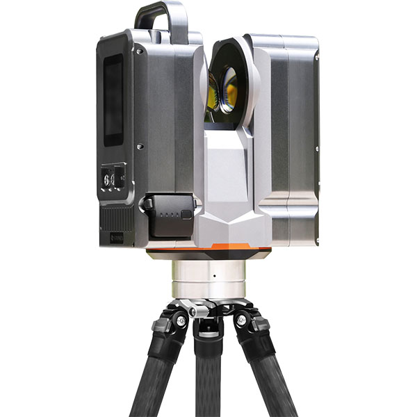
UniStrong
Pulsed static 3D laser scanner that emits laser beams to acquire 3D surface coordinates…
- Detection Range
- 1 ~ 500m
- Measurement Accuracy
- ±1.5 mm
- Repeatability
- ±1 mm
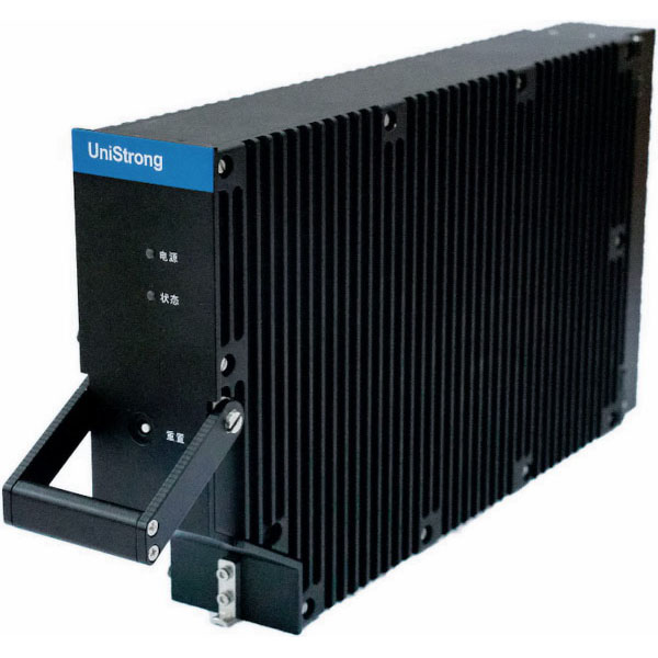
UniStrong
BeiDou SBAS Aviation Receiver
- Cold Start Time
- < 300 s
- Power Consumption
- < 5 W
- Weight
- 2.785 kg
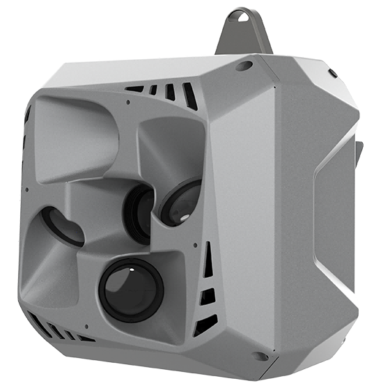
CHCNAV
Professional, high performance aerial oblique camera system featuring a lightweight design and exceptional image…
- Resolution
- 26 MP x 5
- Focal length
- 25 mm / 35 mm
- Camera lenses
- 5
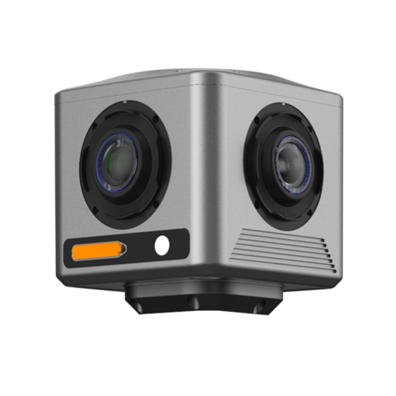
CHCNAV
Compact industrial 360° camera optimized for flexible deployment, efficient integration, and professional mobile mapping…
- Focal length
- 4.8 mm
- Camera lenses
- 4
- Capture interval
- 0.2 s minimum
