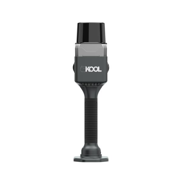
SOUTH
Laser scanners and LiDAR
- Laser Class
- Class-1 eye-safety
- Camera Lens
- 2x 12MP
- Fieldwork Control
- MapStar
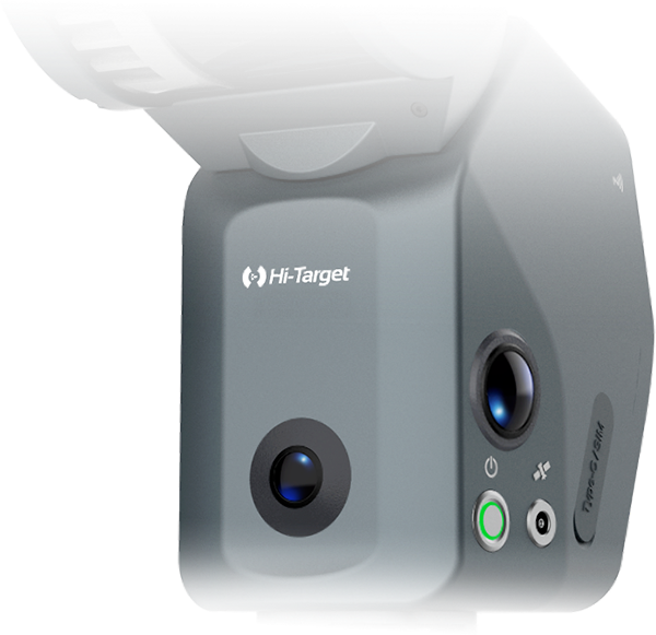
Hi-Target
PRO SLAM SCANNER
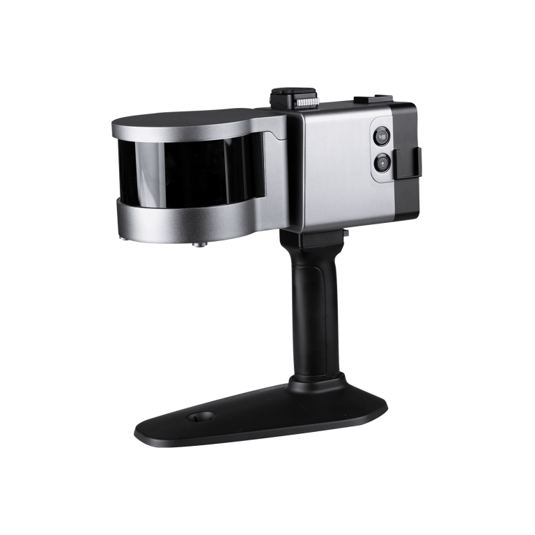
ComNav
Laser Scanner (End of Life)
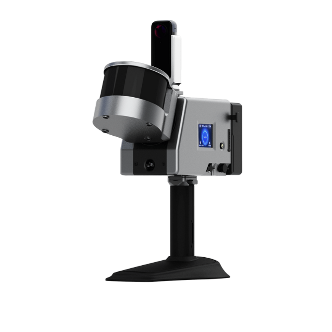
ComNav
Laser Scanner (End of Life)
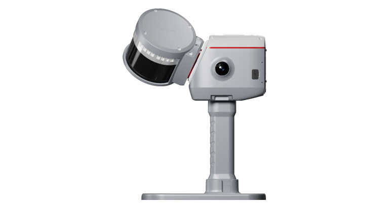
ComNav
Next-generation handheld 3D laser scanner that seamlessly combines advanced SLAM technology, a built-in RTK…
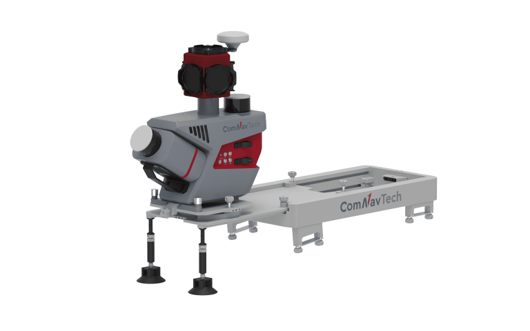
ComNav
Mobile Laser Scanning System
CHCNAV
Handheld SLAM 3D laser scanner that integrates GNSS RTK, laser scanning, and visual SLAM…
- Channels
- 16 or 32
- Range
- 120 or 300 m
- GNSS
- Full GNSS
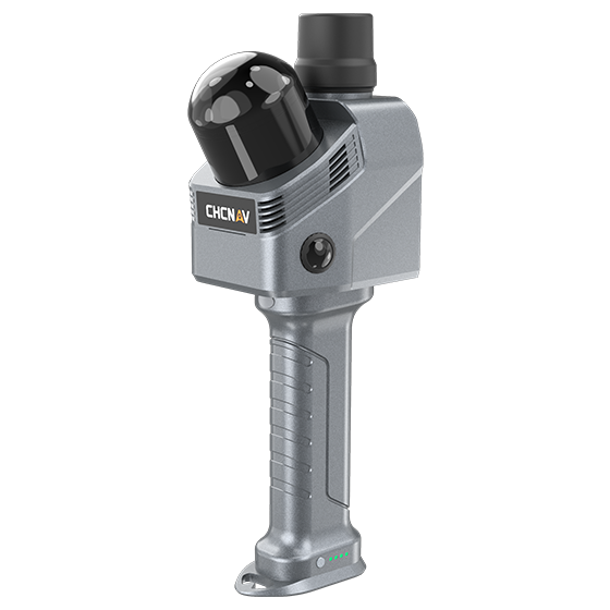
- Channels
- 64
- Range
- 40 m
- Returns
- Up to 2
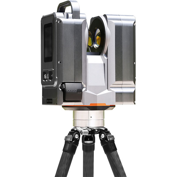
UniStrong
Pulsed static 3D laser scanner that emits laser beams to acquire 3D surface coordinates…
- Detection Range
- 1 ~ 500m
- Measurement Accuracy
- ±1.5 mm
- Repeatability
- ±1 mm
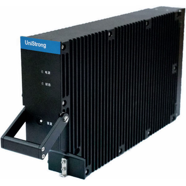
UniStrong
BeiDou SBAS Aviation Receiver
- Cold Start Time
- < 300 s
- Power Consumption
- < 5 W
- Weight
- 2.785 kg
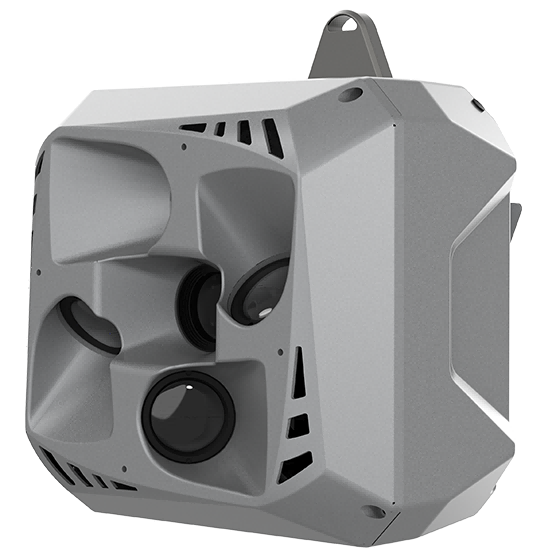
CHCNAV
Professional, high performance aerial oblique camera system featuring a lightweight design and exceptional image…
- Resolution
- 26 MP x 5
- Focal length
- 25 mm / 35 mm
- Camera lenses
- 5
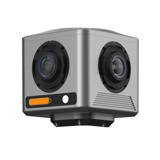
CHCNAV
Compact industrial 360° camera optimized for flexible deployment, efficient integration, and professional mobile mapping…
- Focal length
- 4.8 mm
- Camera lenses
- 4
- Capture interval
- 0.2 s minimum
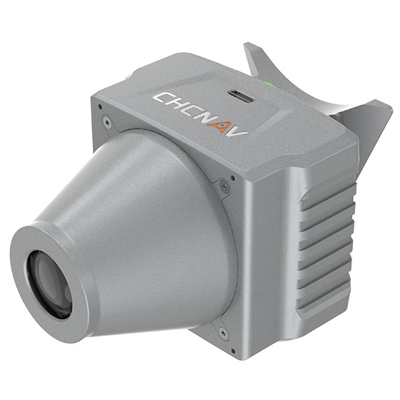
CHCNAV
Aerial orthographic camera system that delivers superior image quality for photogrammetric applications and LiDAR…
- Resolution
- 45 MP
- Focal length
- 35 mm
- Camera lenses
- 1
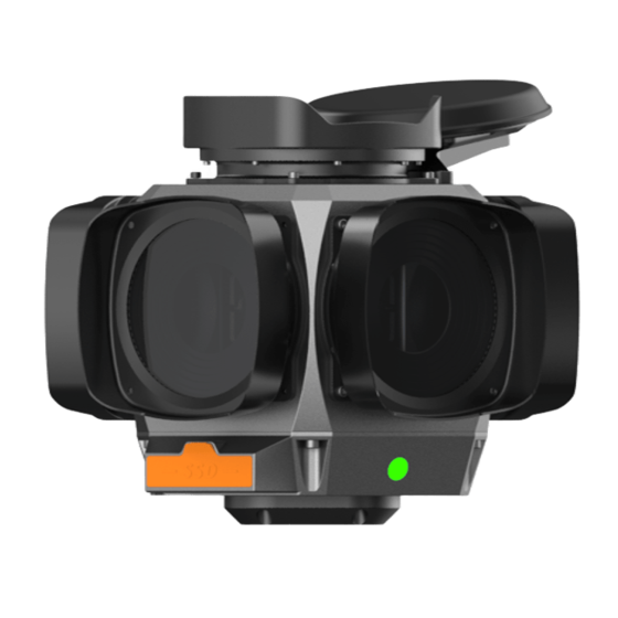
CHCNAV
The CHCNAV C7200 is high-resolution industrial 360° camera for applications requiring maximum image detail,…
- Focal length
- 6.5 mm
- Camera lenses
- 6
- Capture interval
- 0.1 s minimum
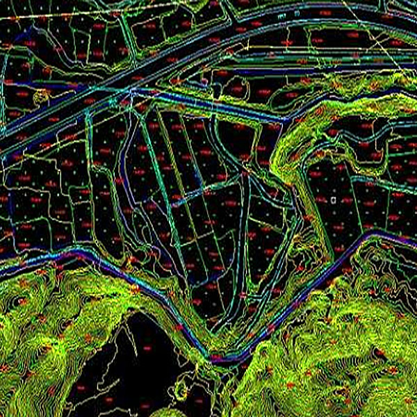
UniStrong
The Digital Line Graph (DLG) is a map format that provides convenient zooming, panning,…
- Data Format
- DWG, DXF, SHP, mdb
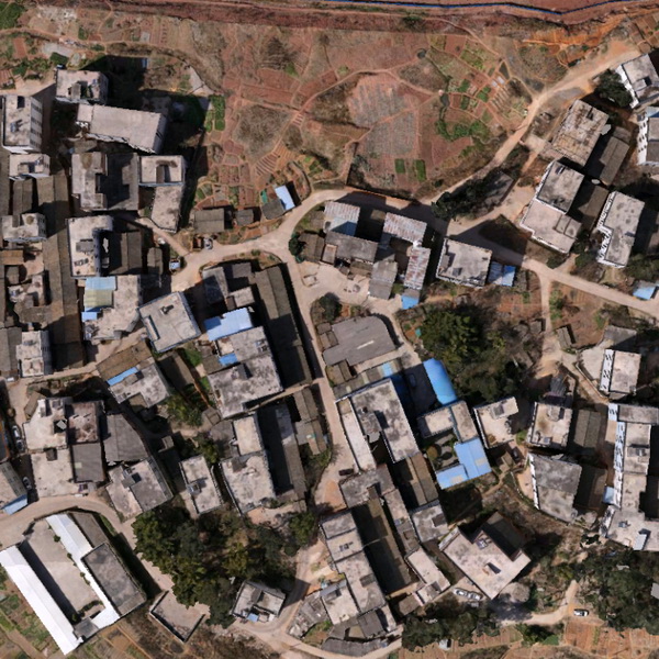
UniStrong
Digital Orthophoto Map (DOM) refers to image data generated by performing pixel-by-pixel rectification on…
- Data Format
- TIF, JPG, IMG, PNG
UniStrong
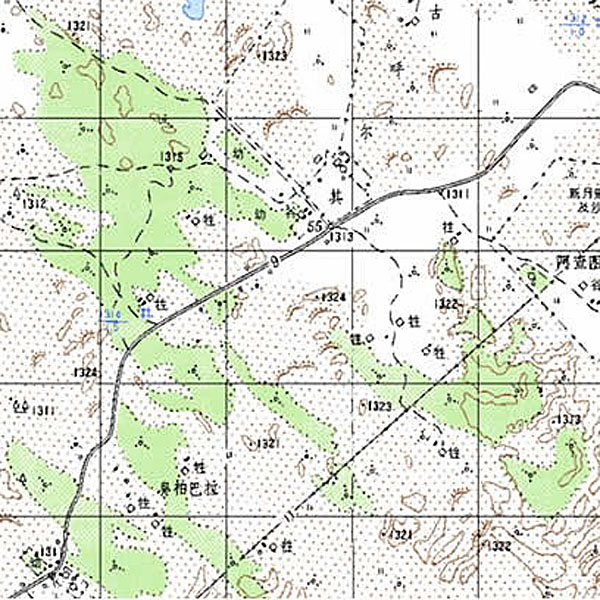
Digital Raster Graphic (DRG) is a digitized product of paper topographic maps. After scanning,…
UniStrong
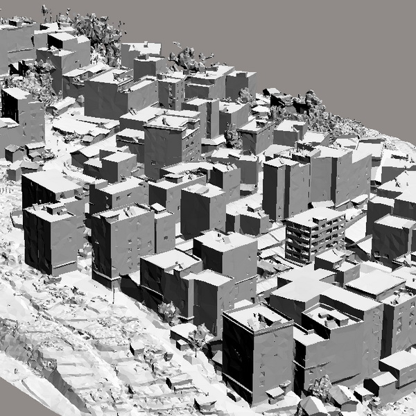
A Digital Elevation Model (DEM) is a dataset of regular grid points with plane…
CHCNAV
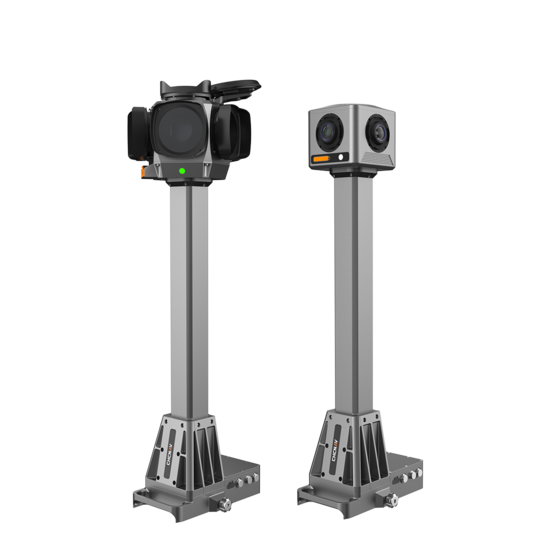
Integrated mobile panoramic mapping system combining 360° imaging with high-precision positioning and orientation. Compatible…
- Camera lenses
- 4 (C4800) | 6 (C7200)
- Dimensions (C4800)
- 268 × 184 × 572 mm
- Dimensions (C7200)
- 291 × 264 × 651 mm
UniStrong
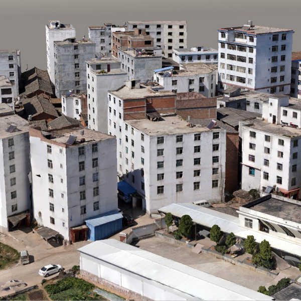
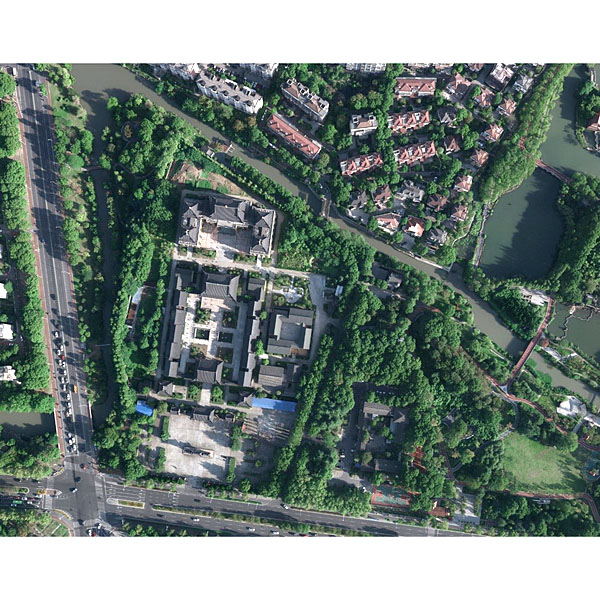
The 3D real-scene model is generated by capturing multi-directional real-scene photos of the target,…
UniStrong
Jiangsu Jinwei Remote Sensing Data Engineering Co., Ltd. is a professional company engaged in…
- Ground Resolution
- 2-50 cm
- Ground Resolution
- 2-10 cm
- Point Density
- 0.25-100 points/m²
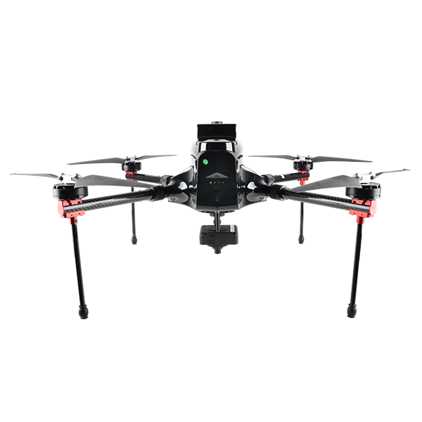
- Max. Service Ceiling
- 4000 m ASL
- Working Height
- typical 60-1000 m
- Cruising Speed
- max. 12 m/s
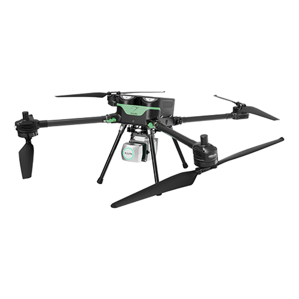
- Diagonal wheelbase
- 1.15 m(±0.01 m)
- Maximum payload
- 4 kg
- Max. climbing speed
- 5 m/s
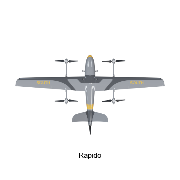
SOUTH
Series - SkyCruiser VTOL Family
- Wind Resistance
- beaudfort scale 6
